


With pure air and whispering breezes between rivers, valleys and mountains, Amares makes all these beauties available through an increasingly well-organized and structured network of ecological tra...
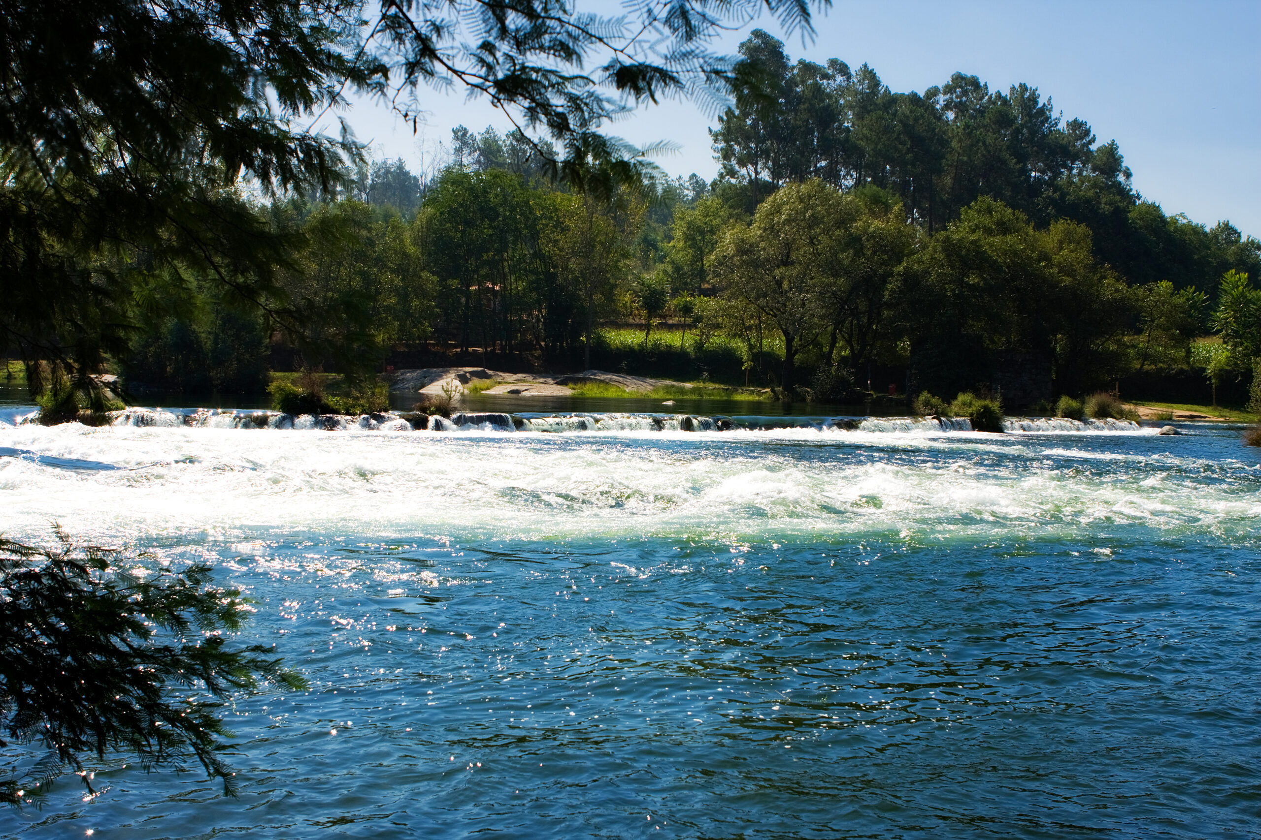
The Cávado River rises in the Serra do Larouco, at an altitude of around 1,520 metres, flowing into the Atlantic Ocean, in the municipality of Esposende, having travelled around 129 km.
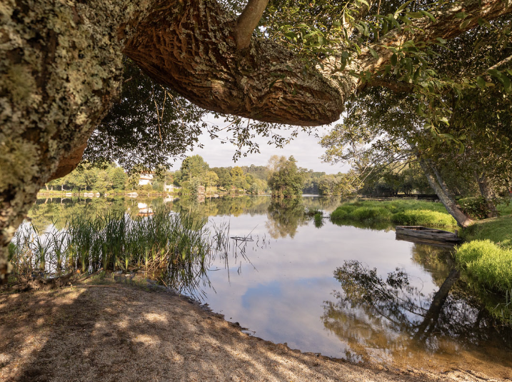
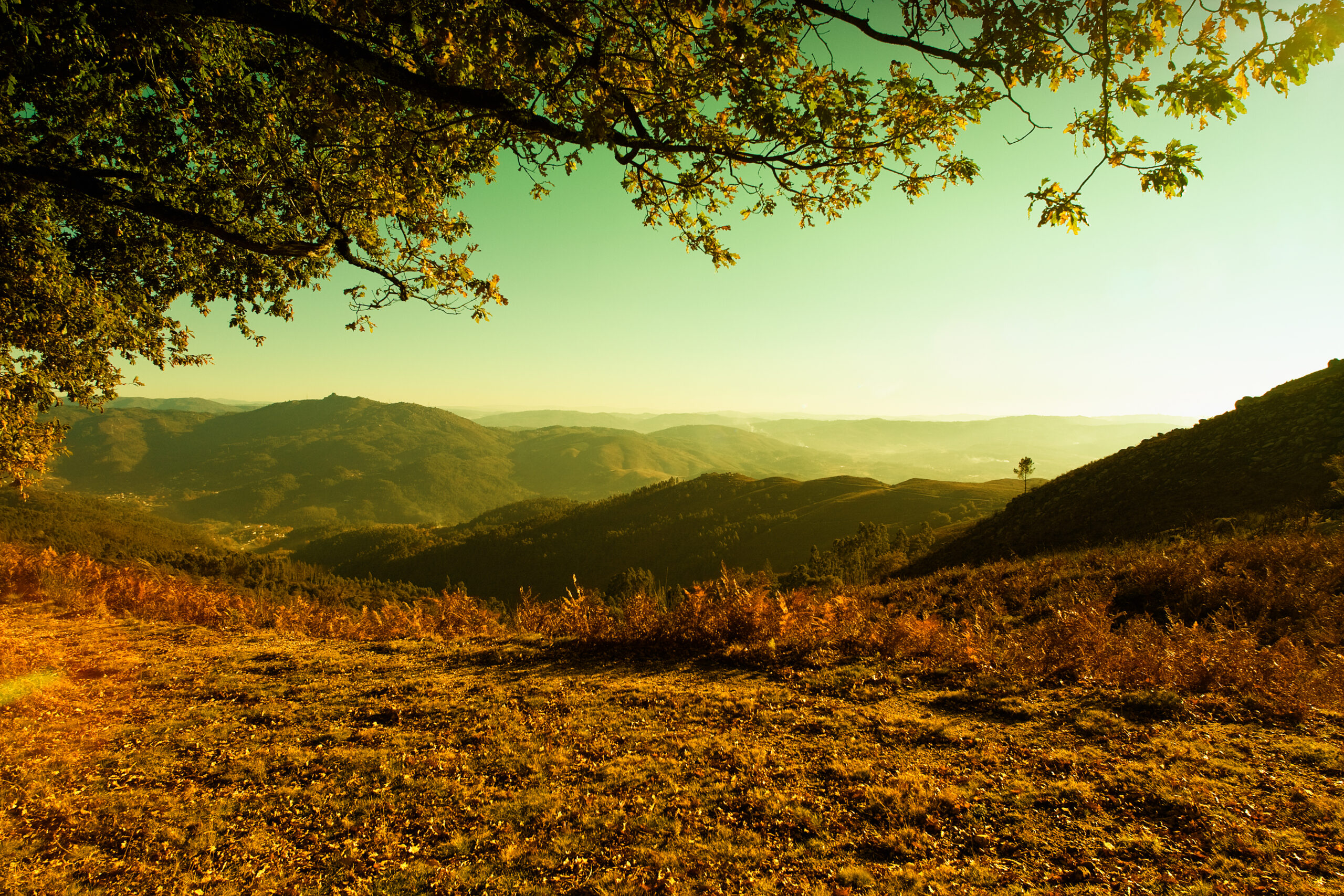
The Municipality of Amares is located on the right bank of this river, with spaces and places of rare natural and scenic beauty, providing pleasant moments of leisure.
It is crossed by the Ponte do Porto, in the parish of Prozelo.
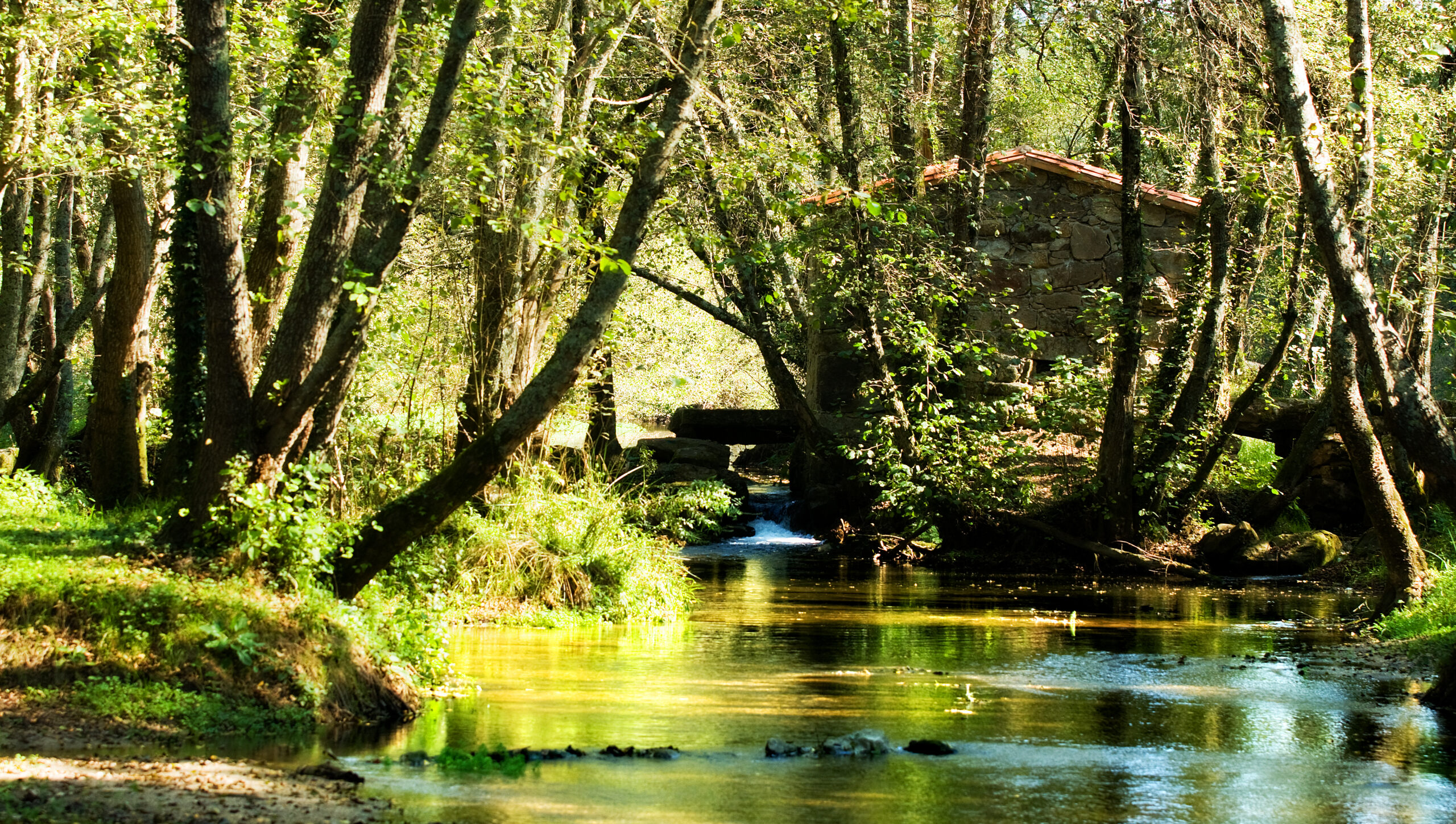
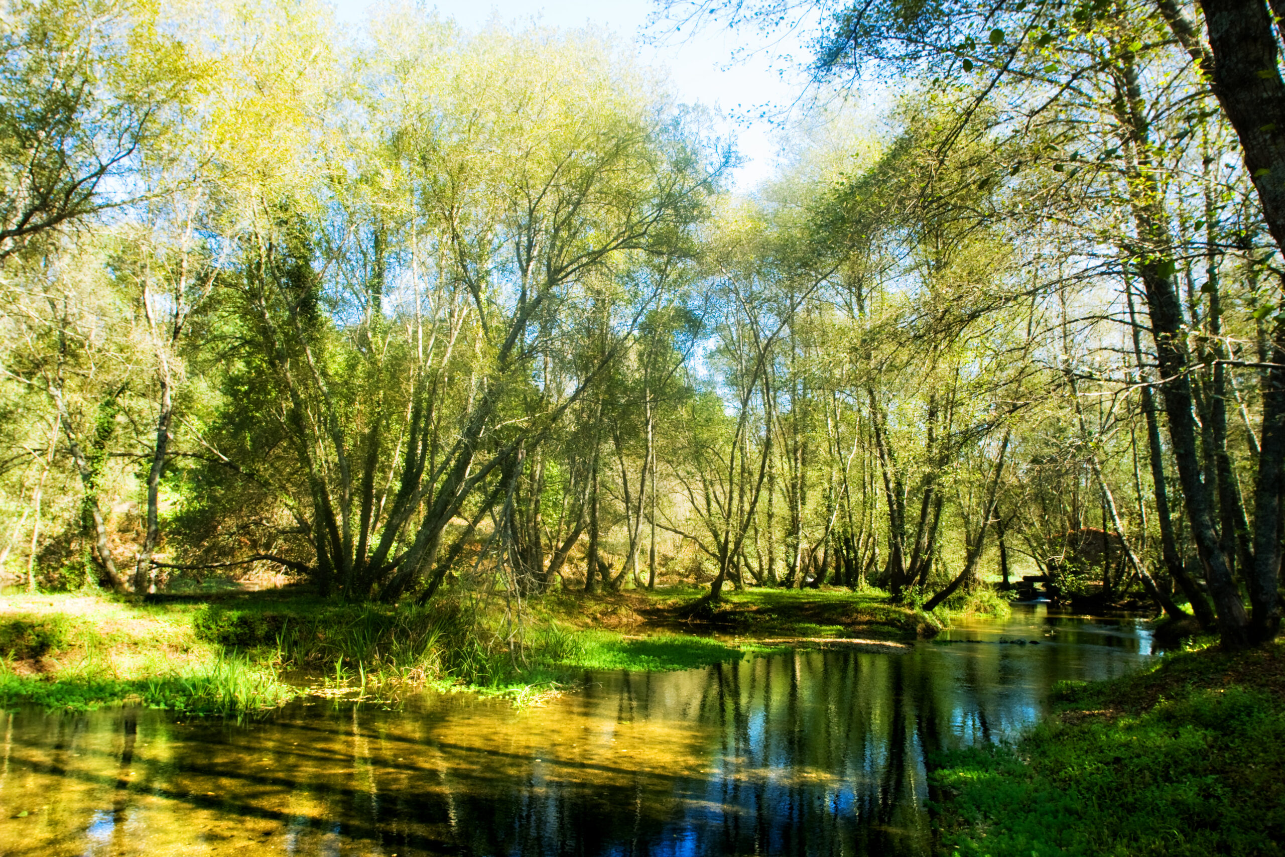
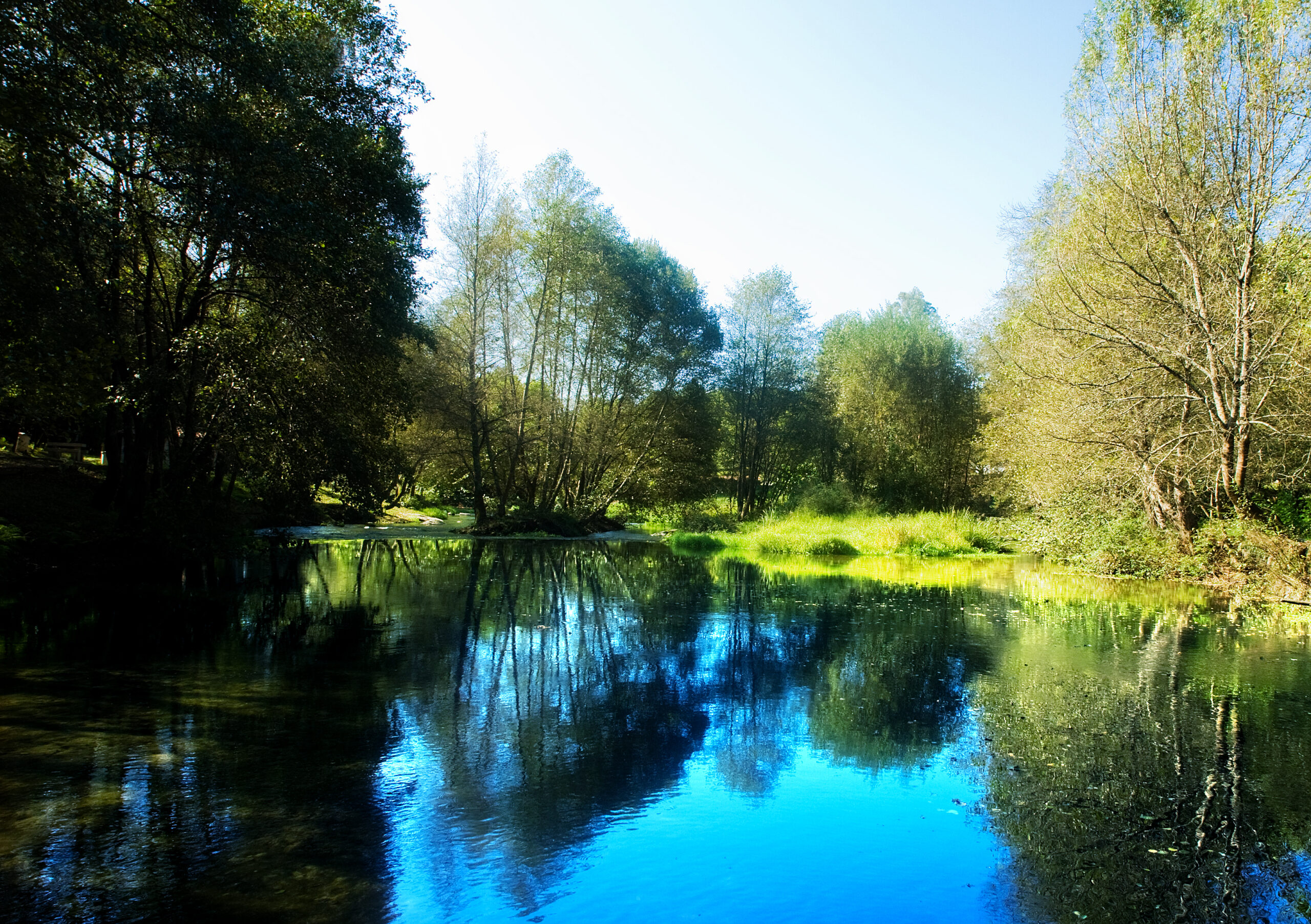
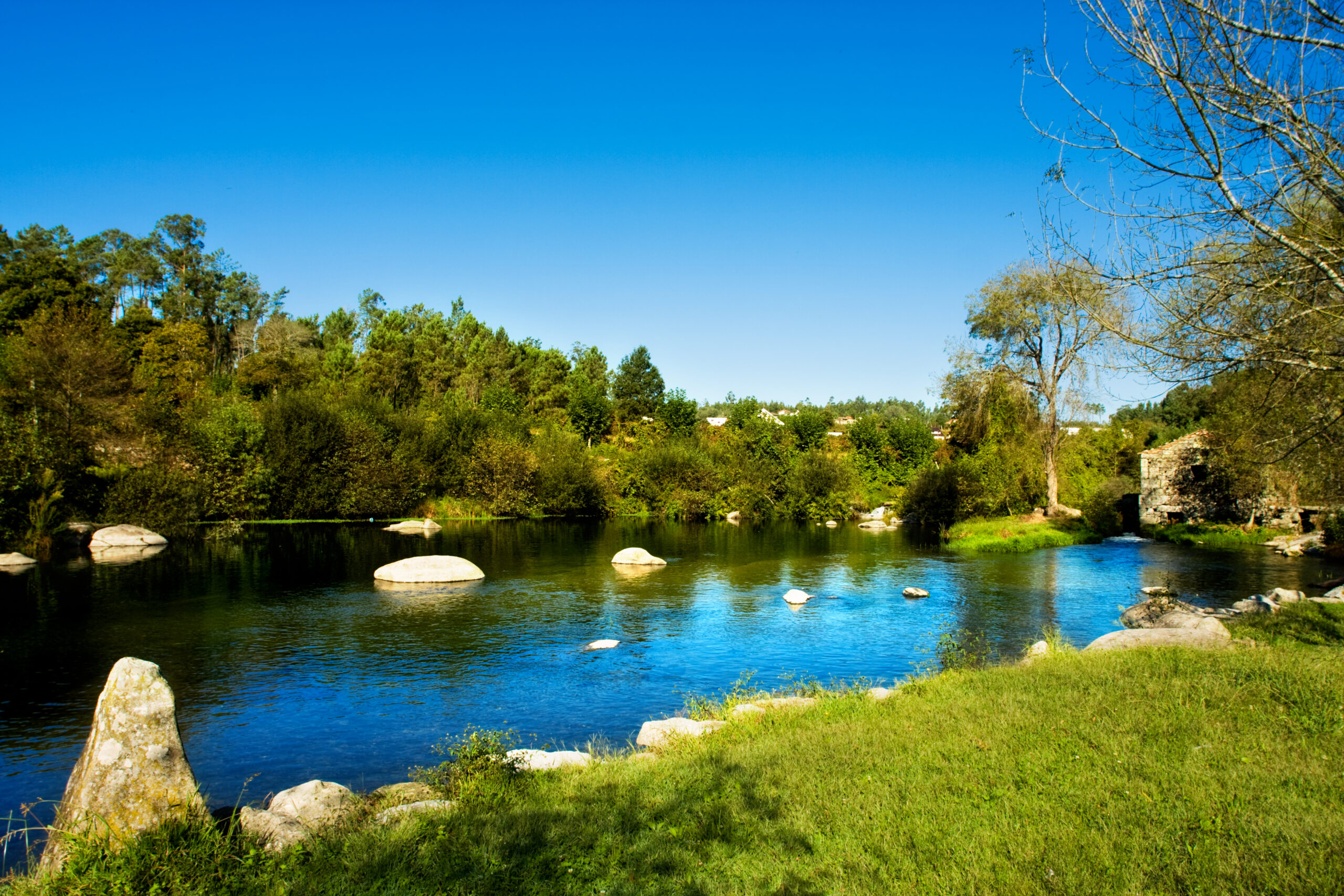
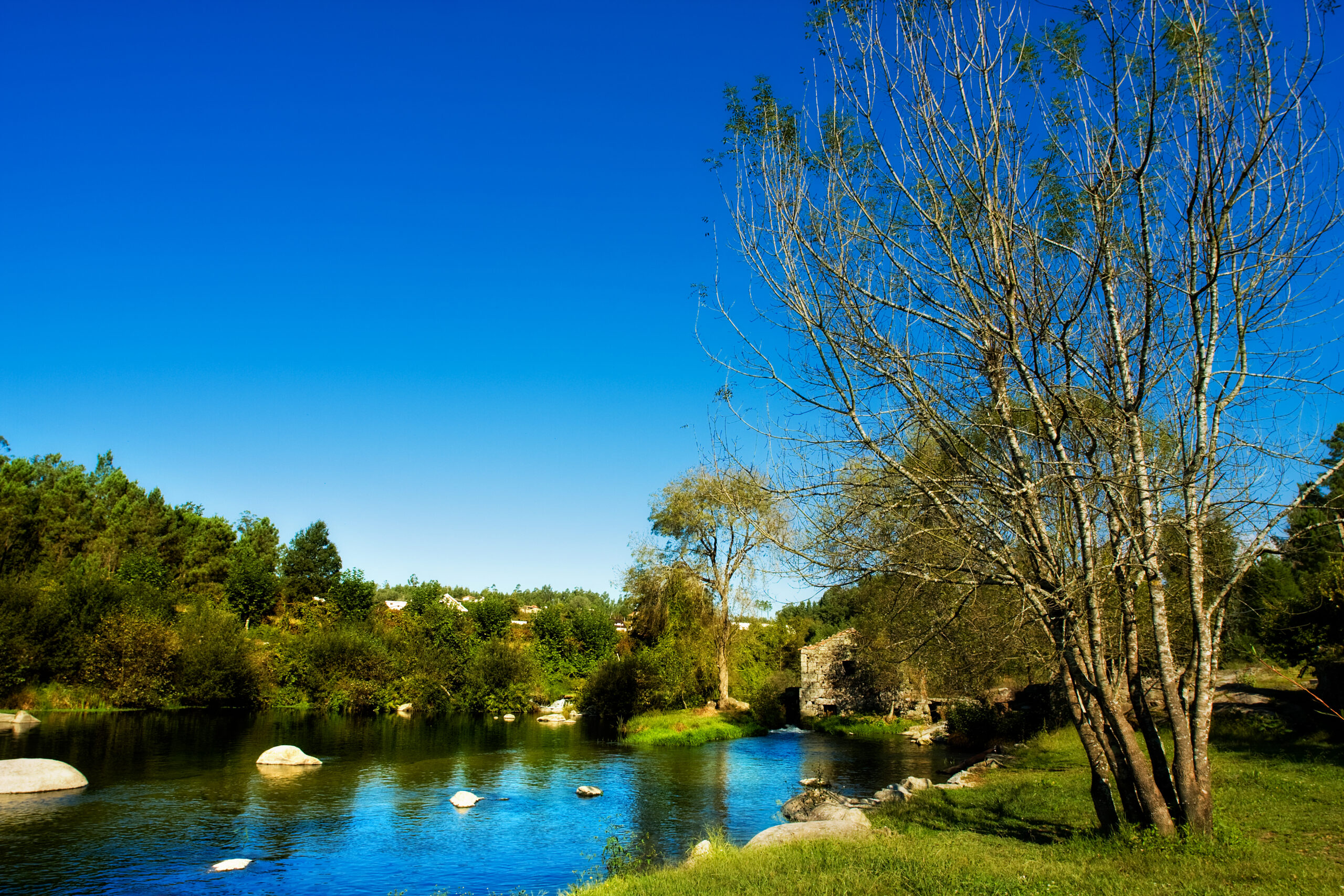
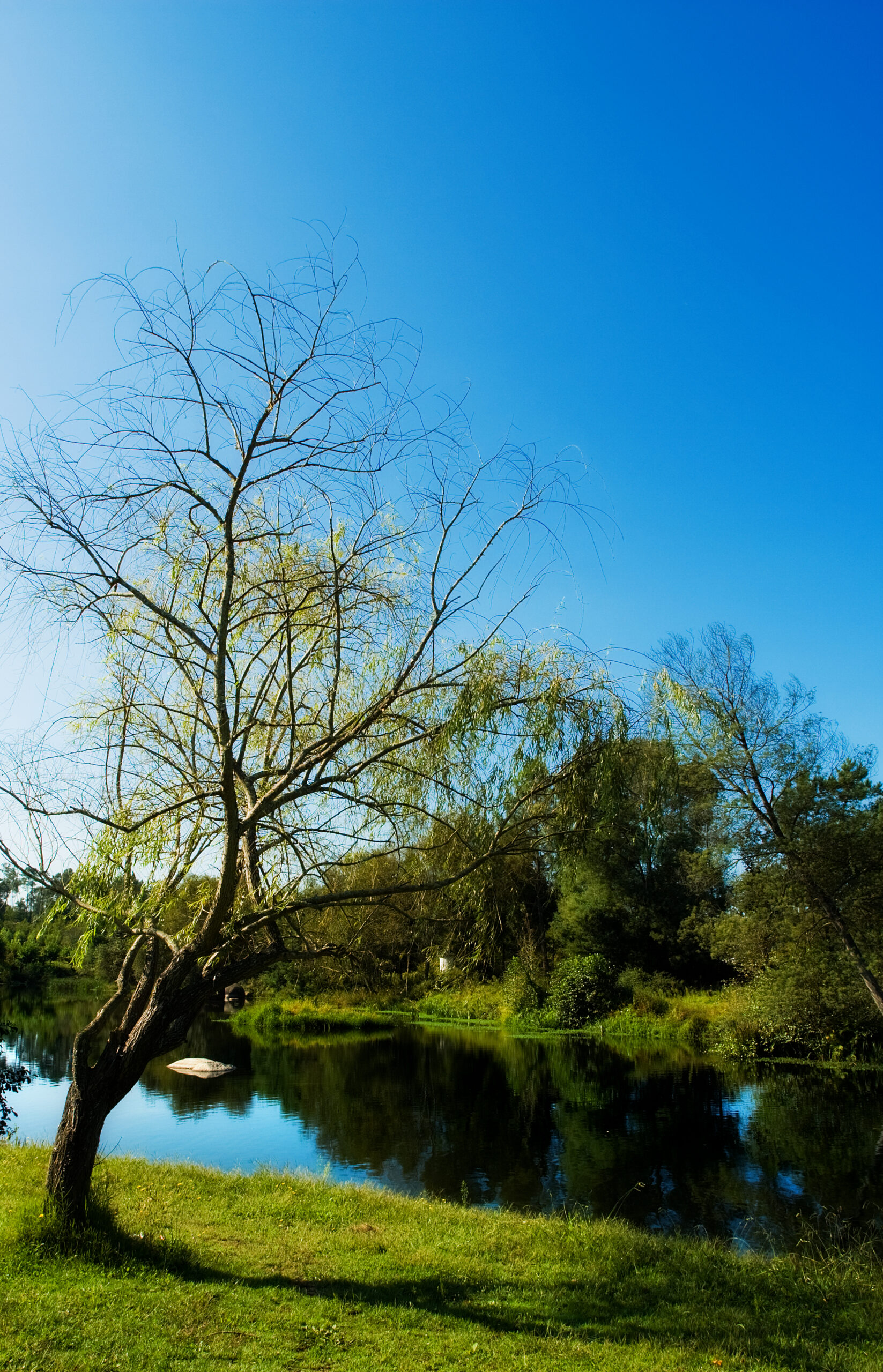
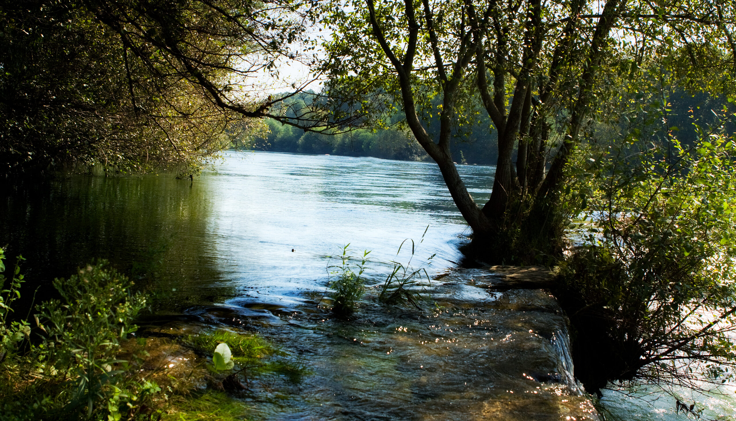
Approximately 45 km long, the Homem River rises in the Serra do Gerês and is a tributary of the Cávado River.
The Municipality of Amares is located on the left bank of this river. There are several leisure areas and beautiful landscapes.
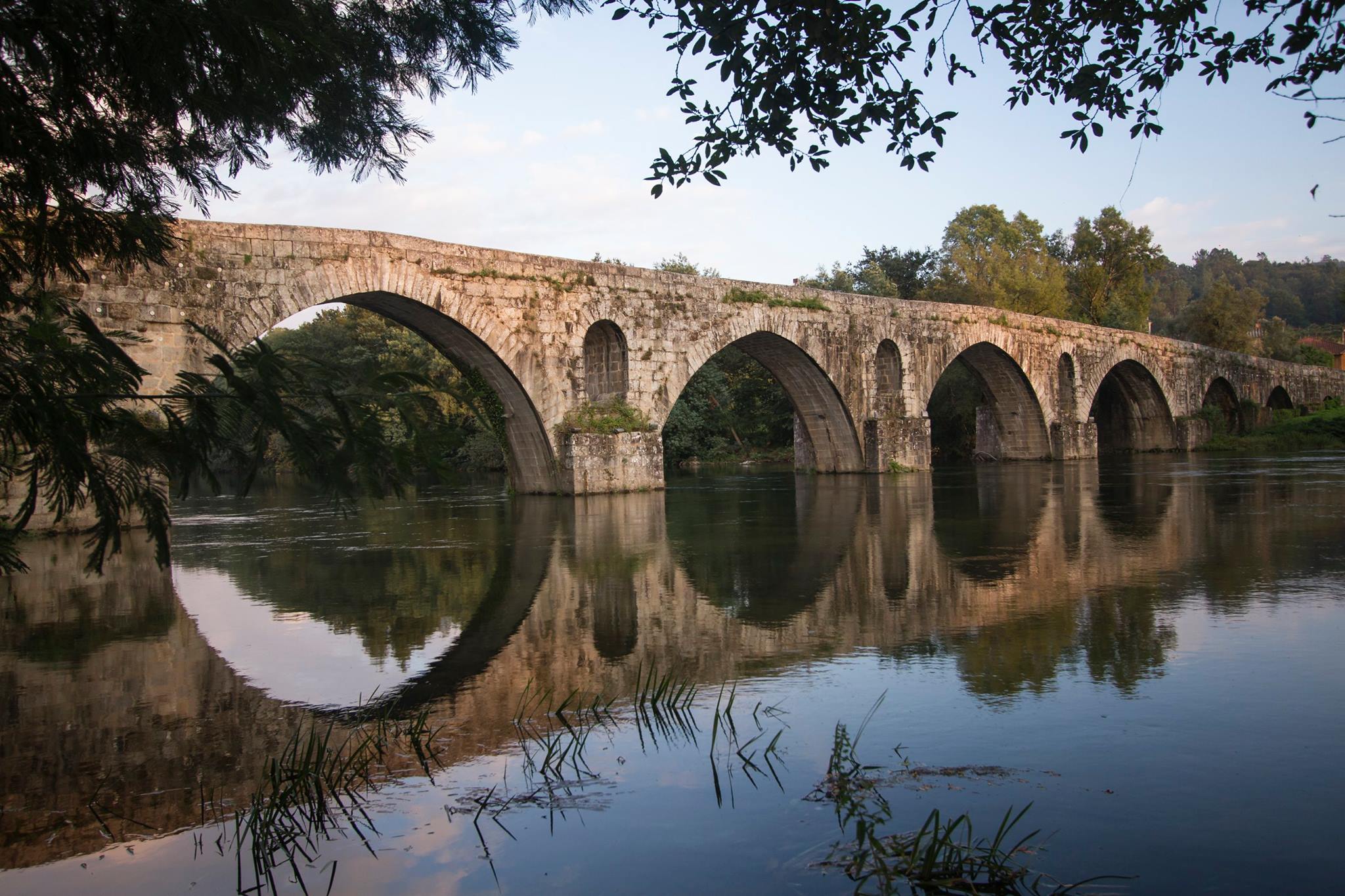
It is crossed by the Ponte de Rodas, connecting Caldelas to Vila Verde.
This bridge is classified as a National Monument. Of public civil architecture, built in the Middle Ages, it is a living testimony to the ancestry of the Municipality of Amares and is composed of a flat deck over three unequal arches, with two buttresses with triangular contour carving and rectangular contour butcher block.
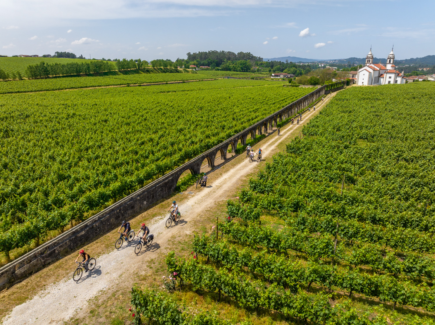
The municipality of Amares presents several vestiges of Roman culture, with emphasis on the route of Geira – Via Nova. This road, built in the 1st century AD, connected Braga (Bracara Augusta) to Astorga (Asturica Augusta) and facilitated access to the mountainous regions.
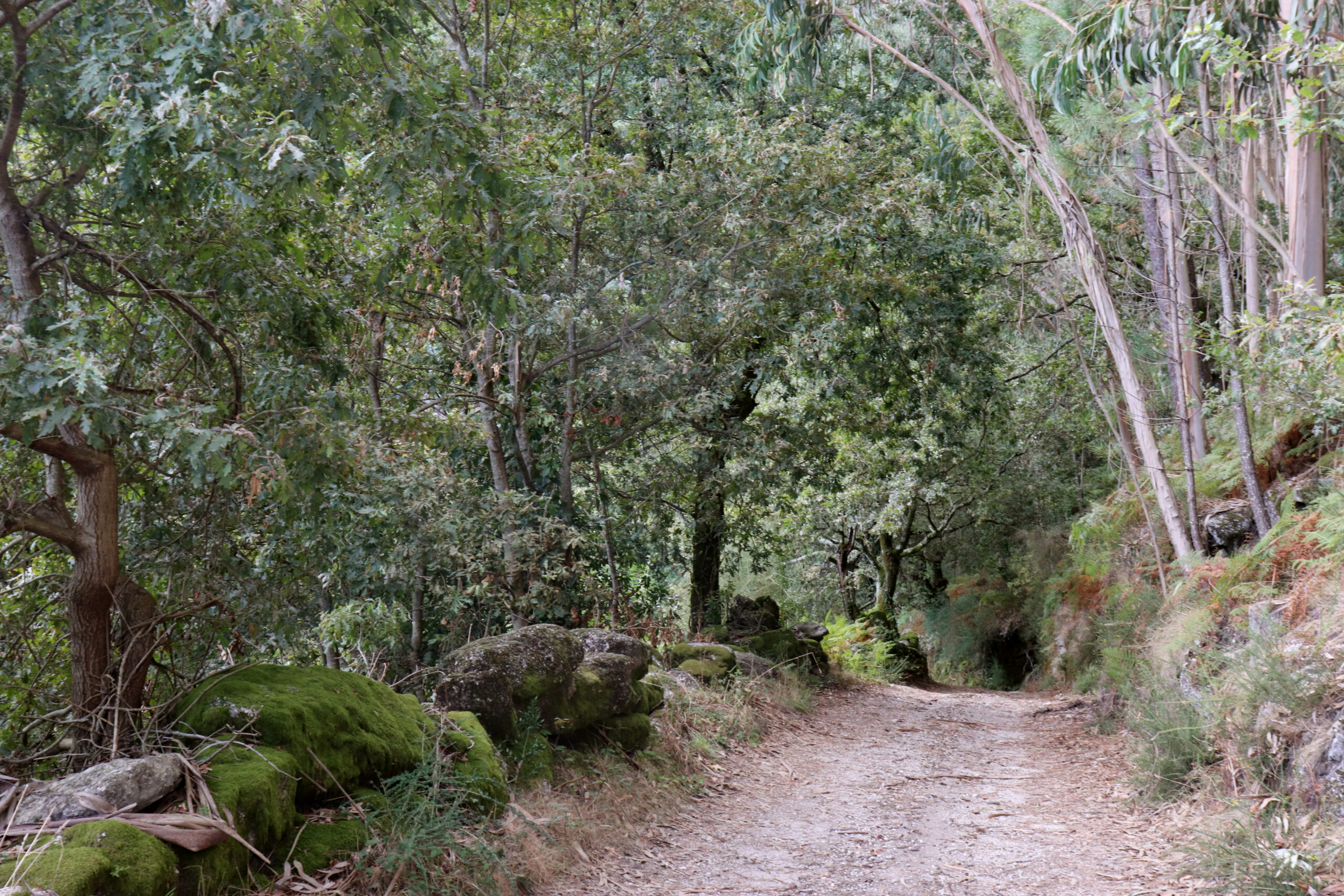
In Amares we can travel part of this road, starting the route in the parish of Paredes Secas until the parish of Seramil, and then continuing its route through the municipality of Terras de Bouro.
GEIRA – VIA NOVA symbolized the success of the Romanization of the Northwest, facilitating the movement of people, merchants, military personnel and employees between the two capitals. In certain places we can still see the marks of car tires, the quarries where granite was extracted for the milestones, paved sidewalks and ruined bridges.
Although this route is not classified in its entirety, in the territory of Amares we find some milestones that are classified, such as the milestone (fragment) that is located in the parish of Vilela, next to the Parish Church (MN – National Monument, Decree 16-06-1910, DG nº 136 of 23 June 1910).
Start and Finish: Braga – Portela do Homem
Promoting Entity: Various
Scope: Historical-cultural, environmental and landscape
Route Type: Rural paths
Distance to travel: 45.44 km
Difficulty Level: Hard
Recommended Season: All year round
Location: between the parishes of Paredes Secas and Seramil
GPS: GPS 41º39`39.25″N 8º20`11.40″W and Santa Cruz (Seramil) GPS 41º40`46.80″N 8º19`35.63″W
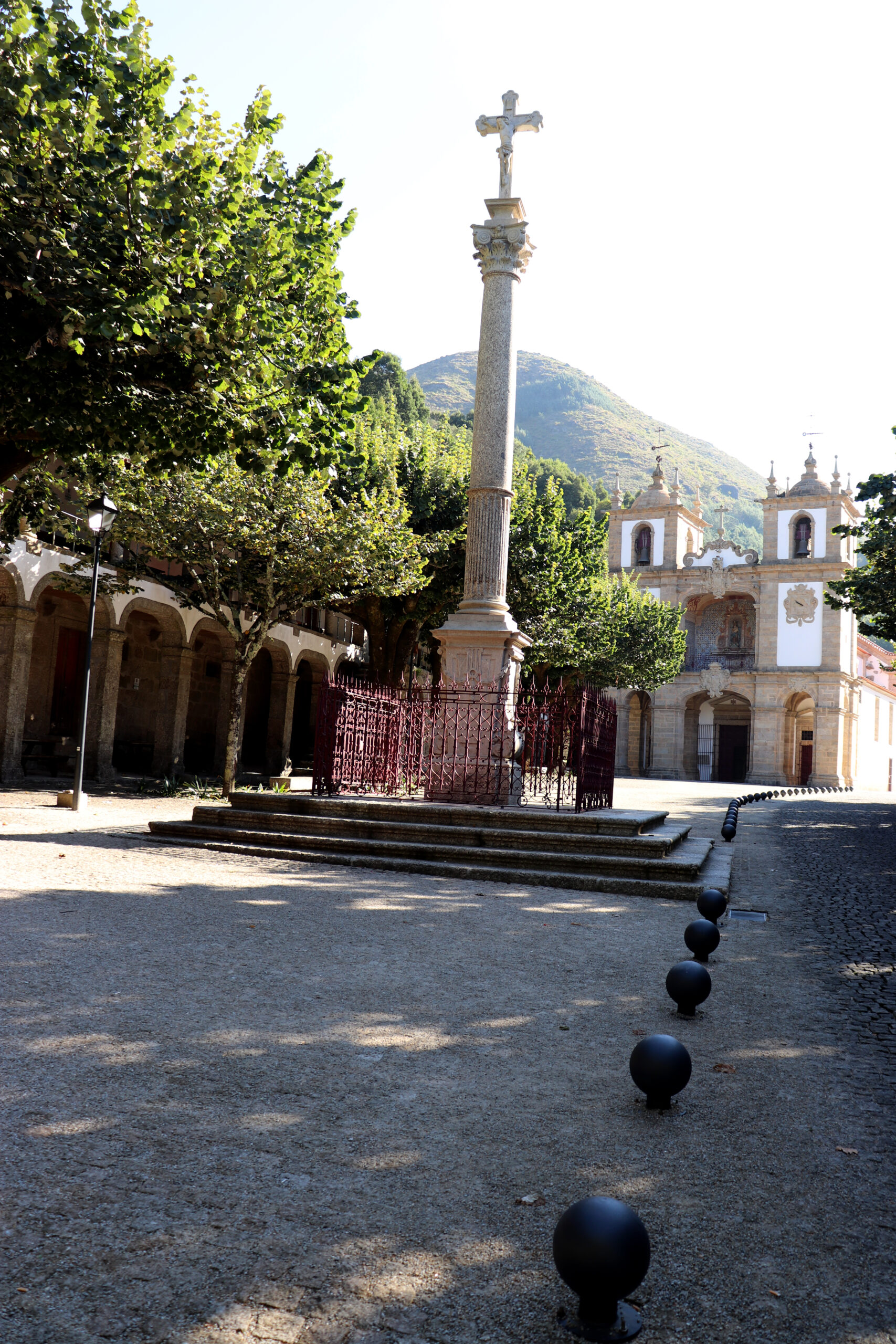
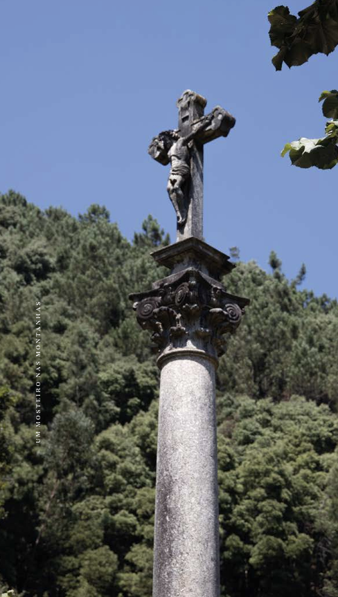
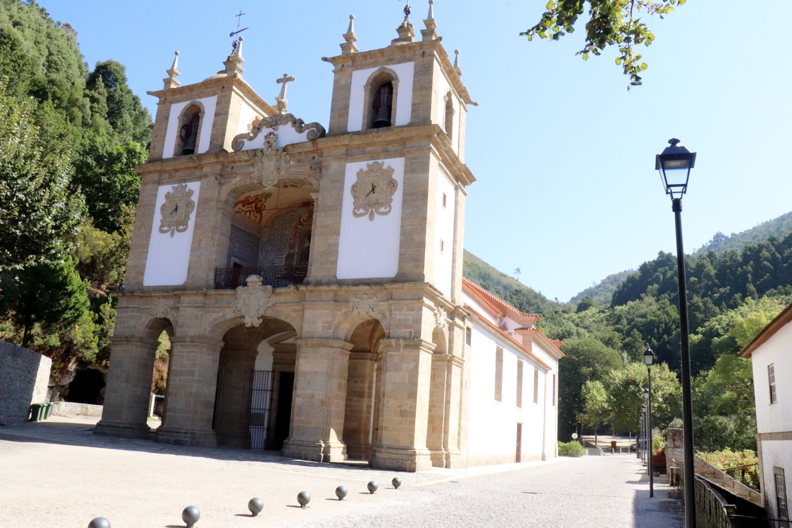
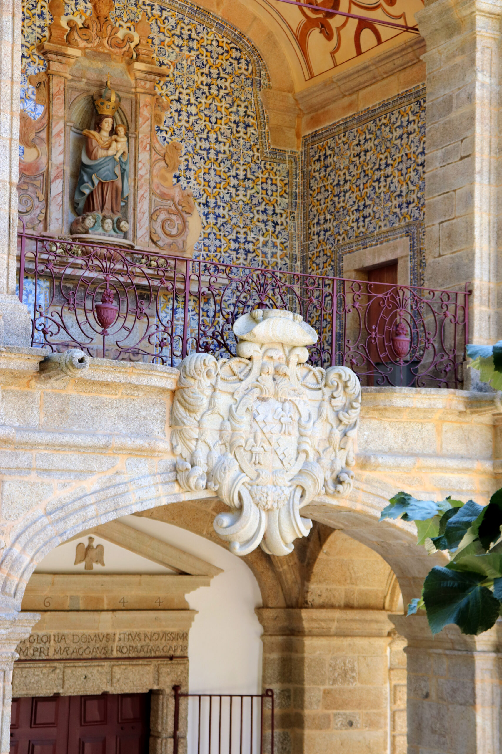
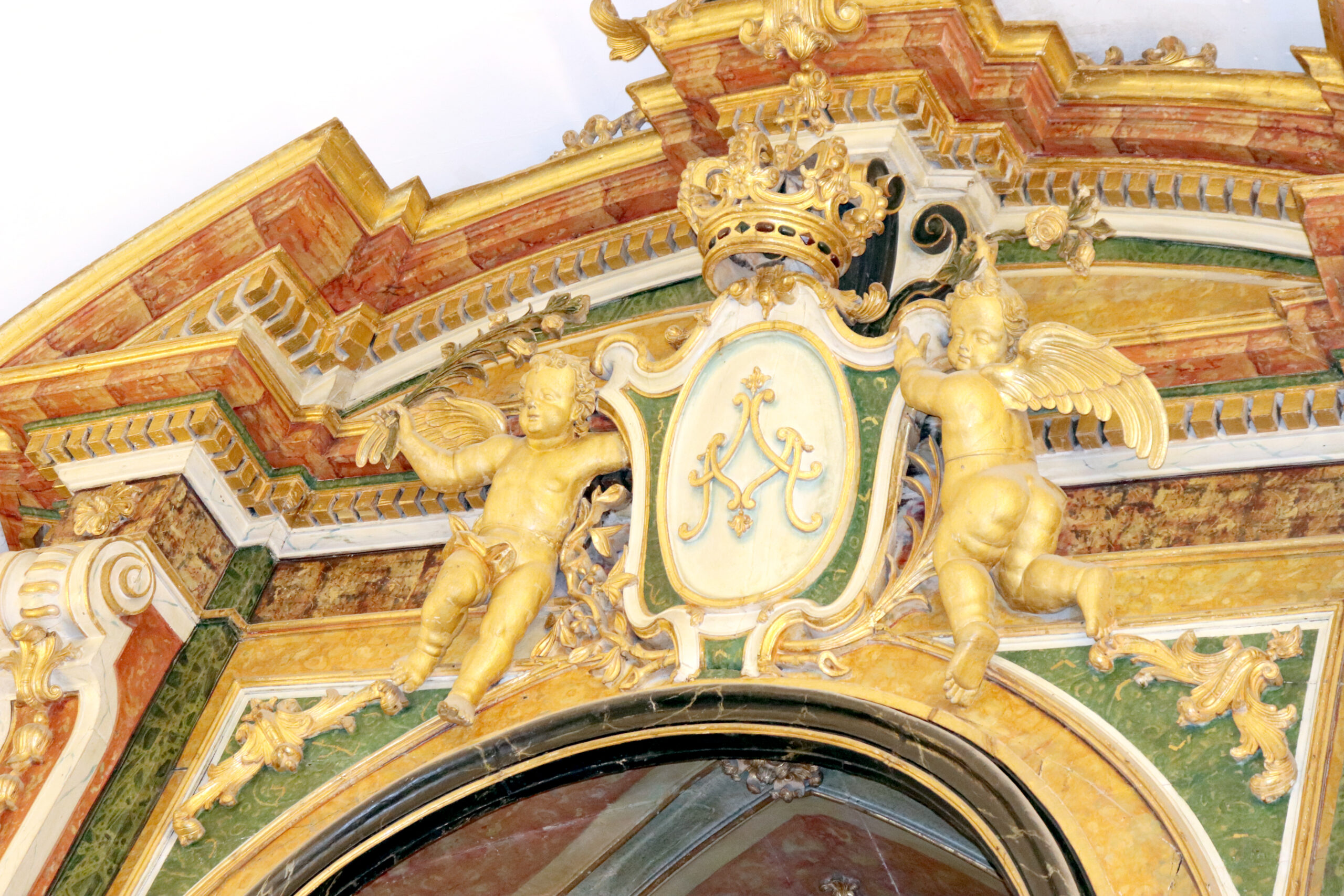
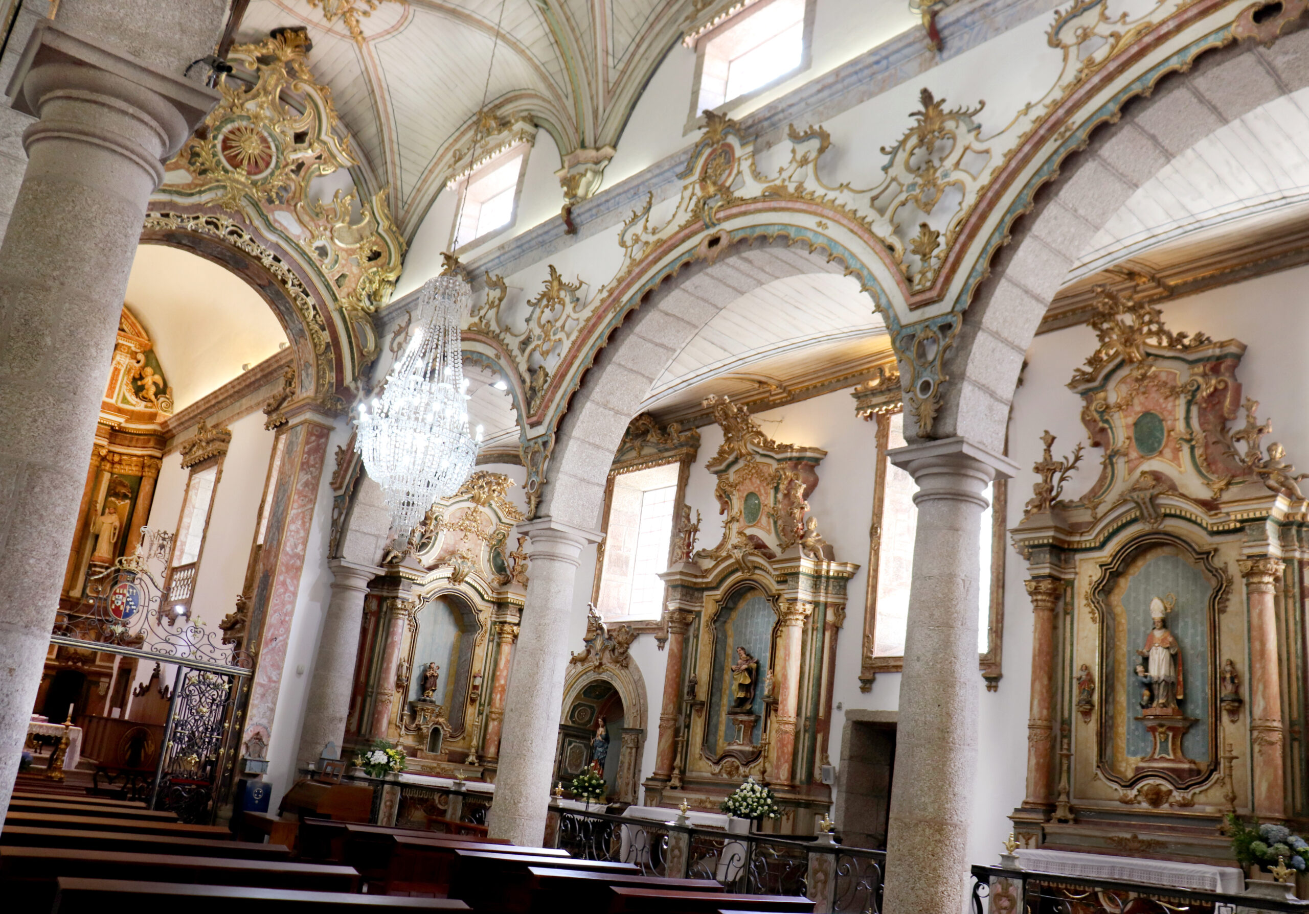
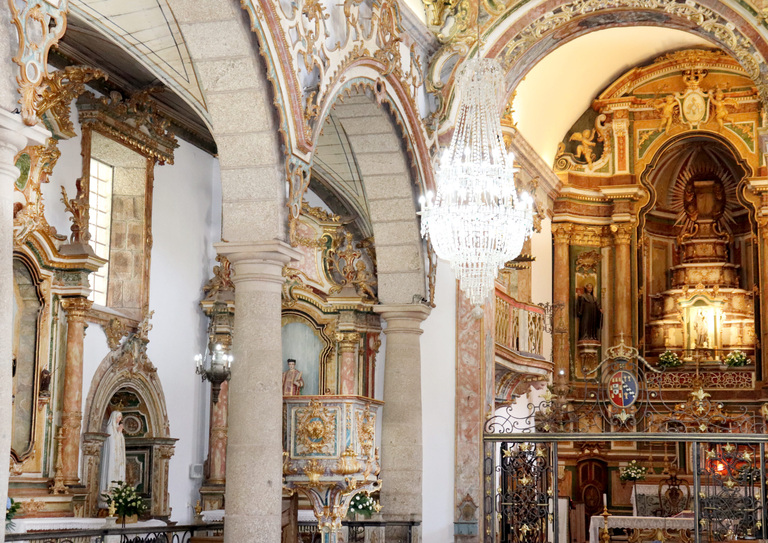
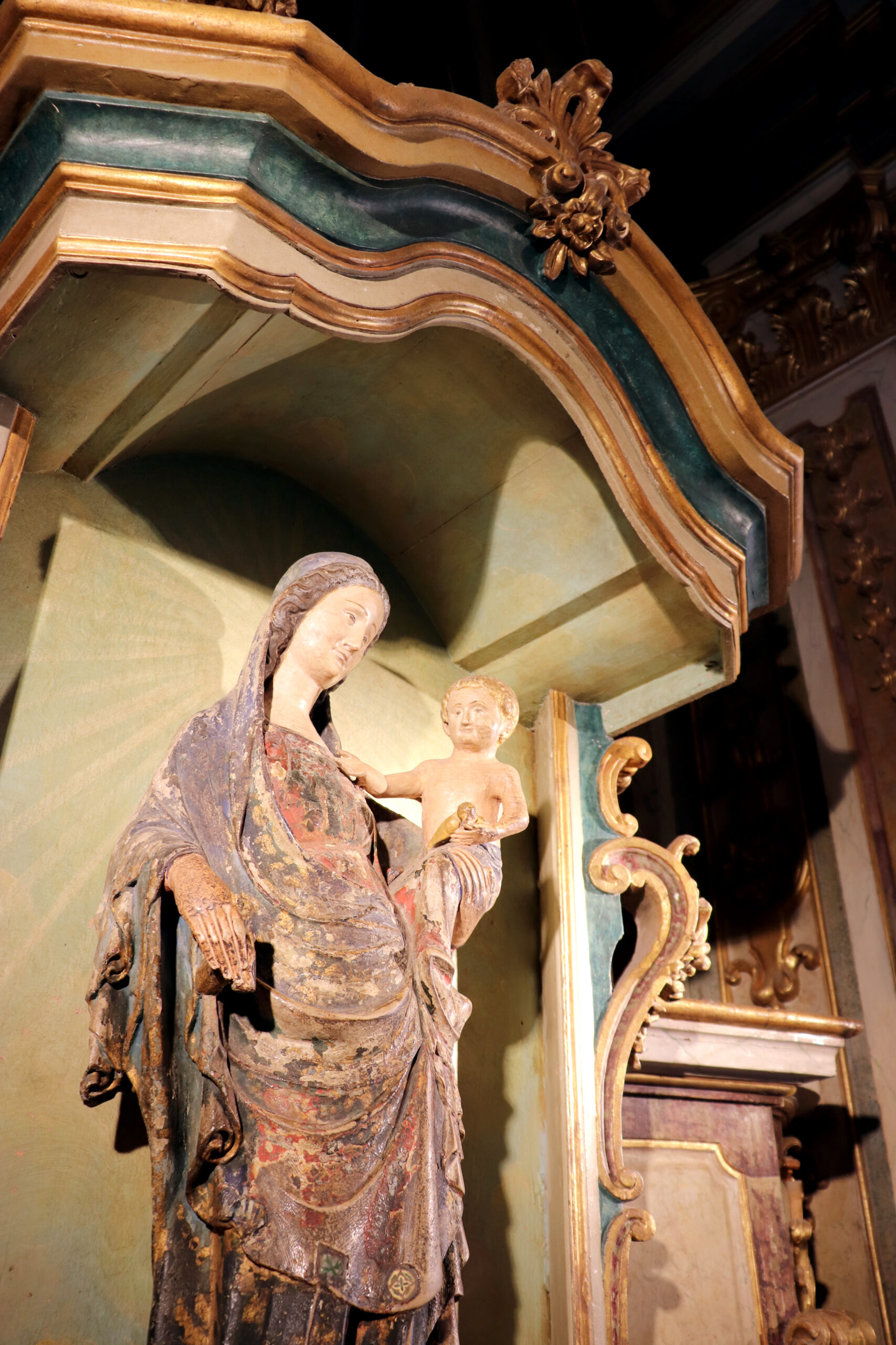

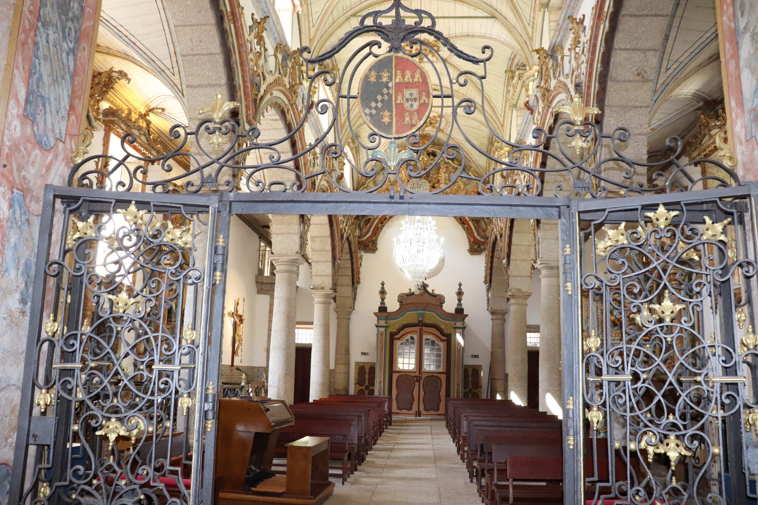
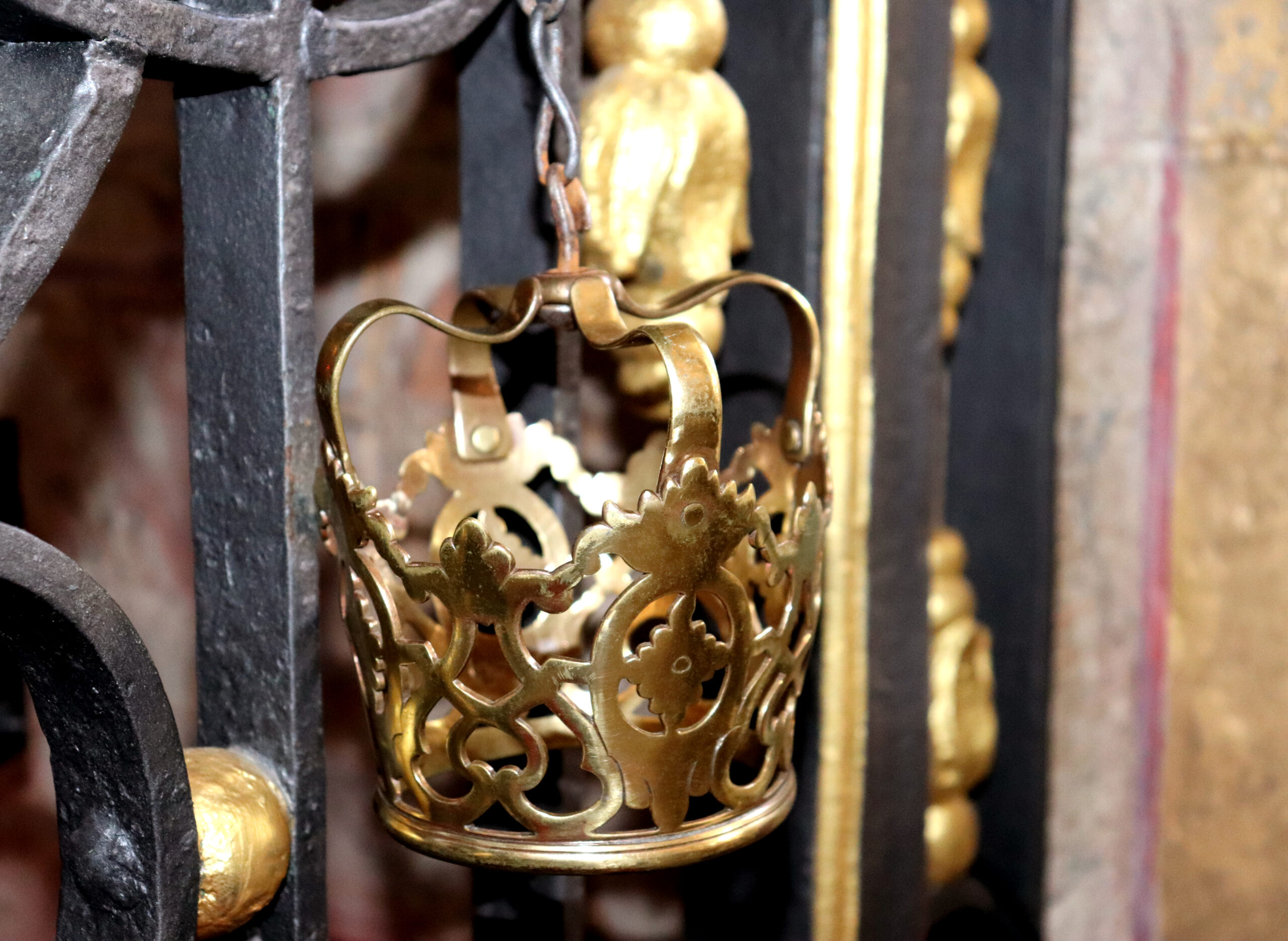
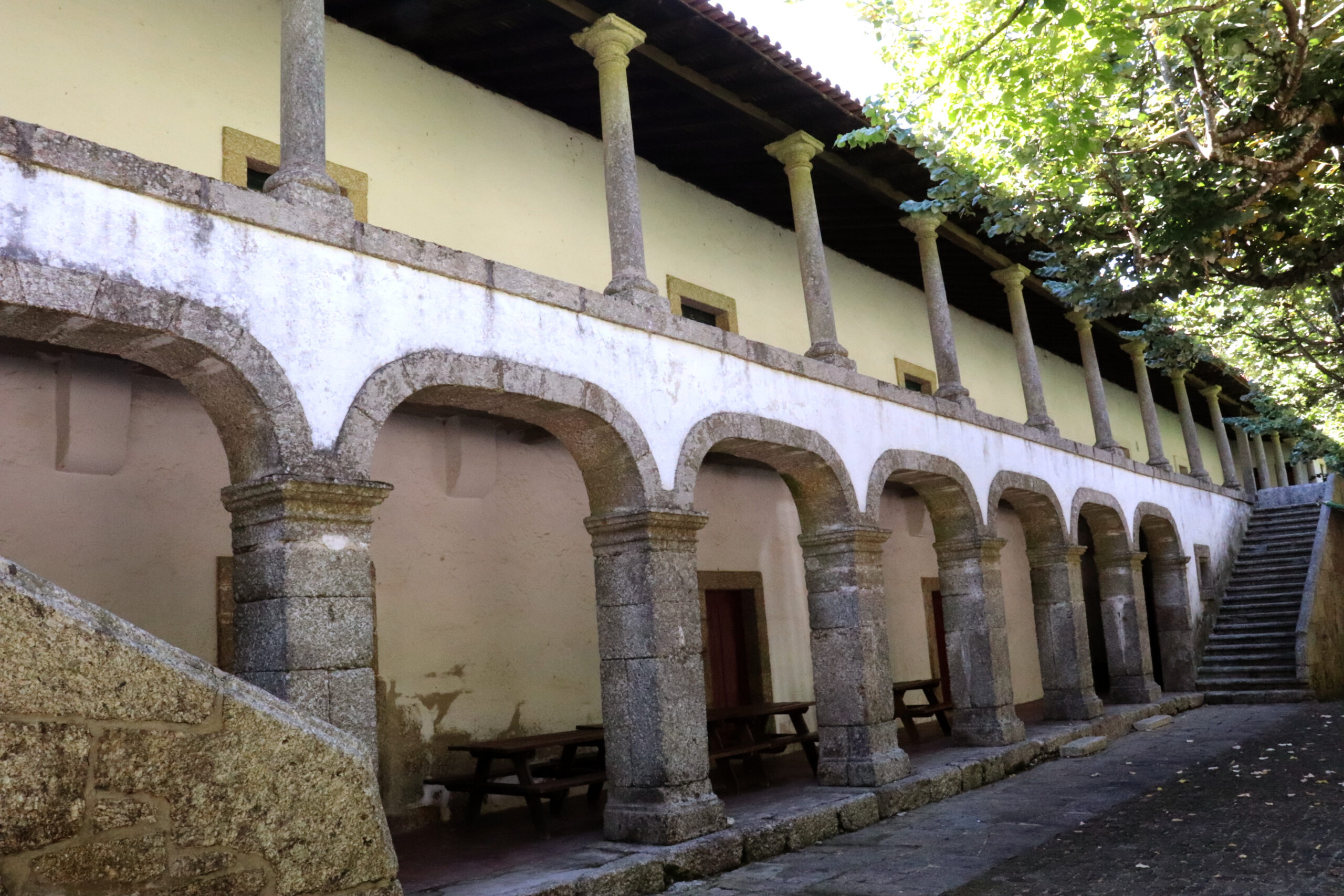
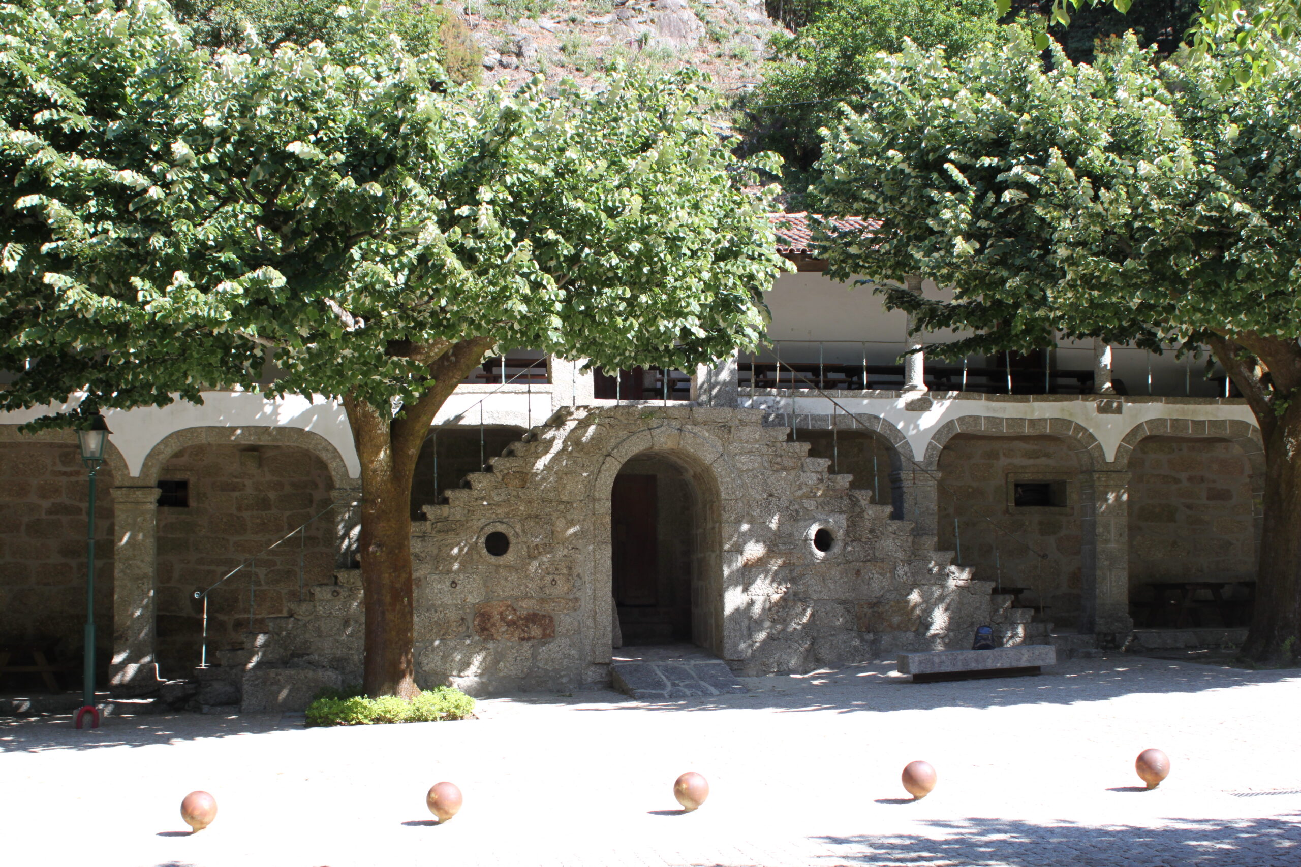
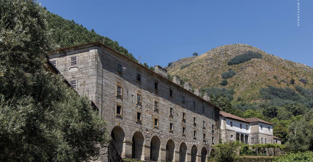
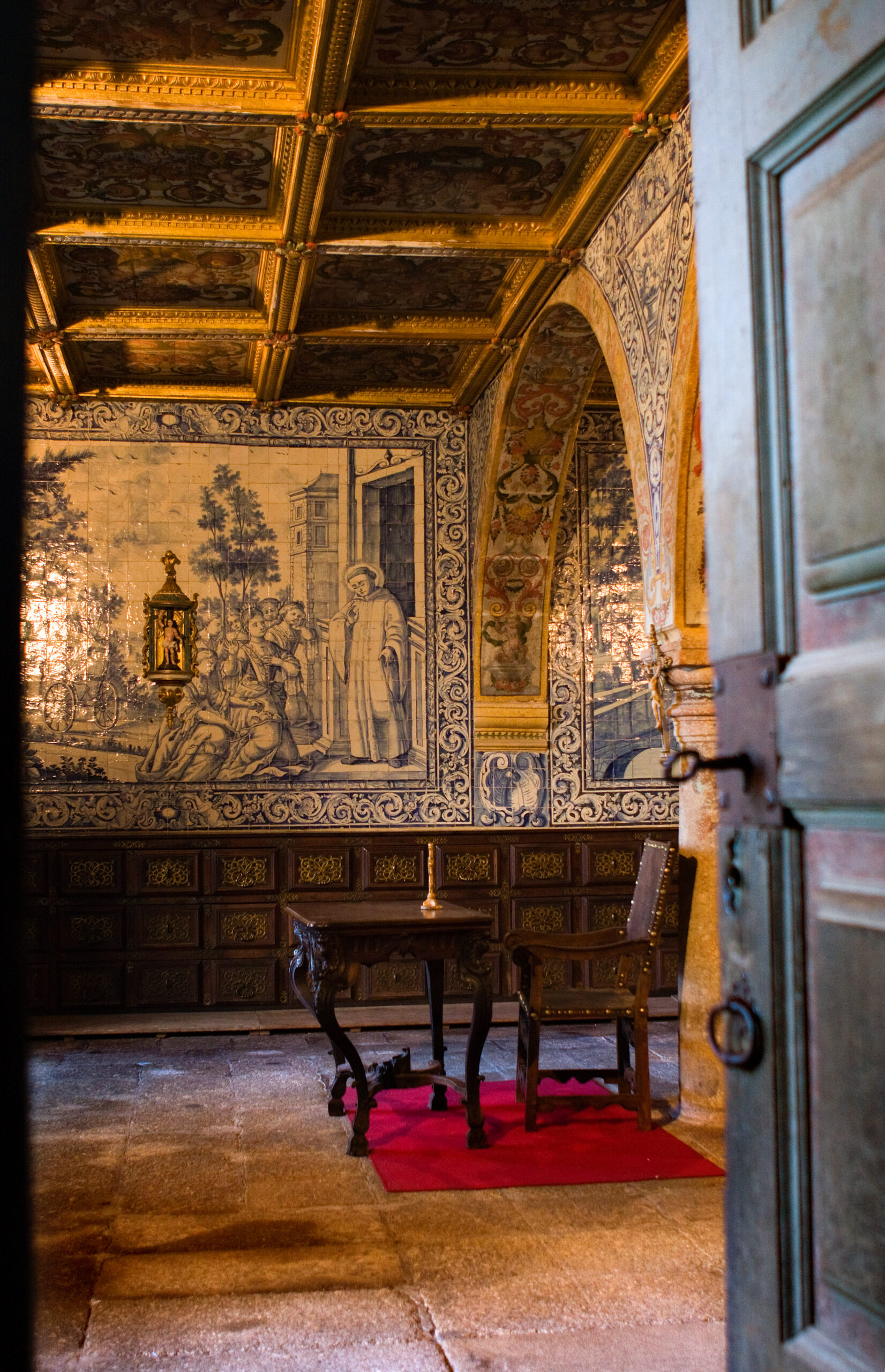
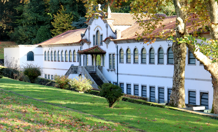
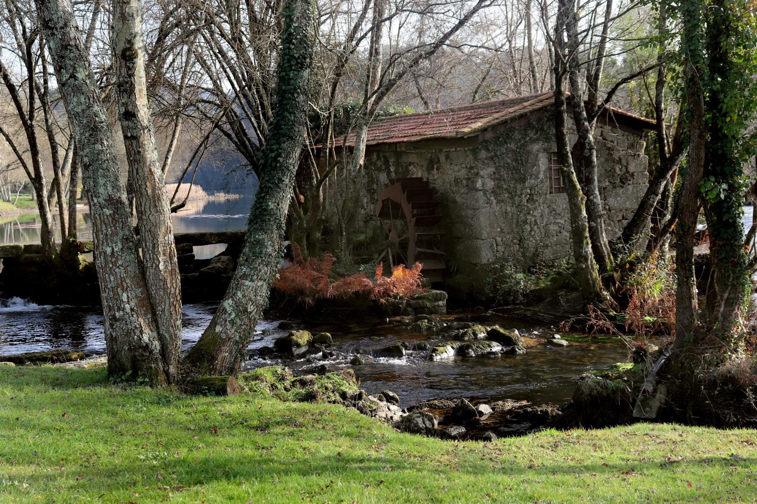
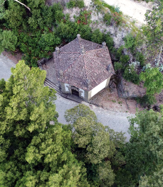
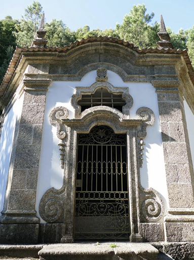
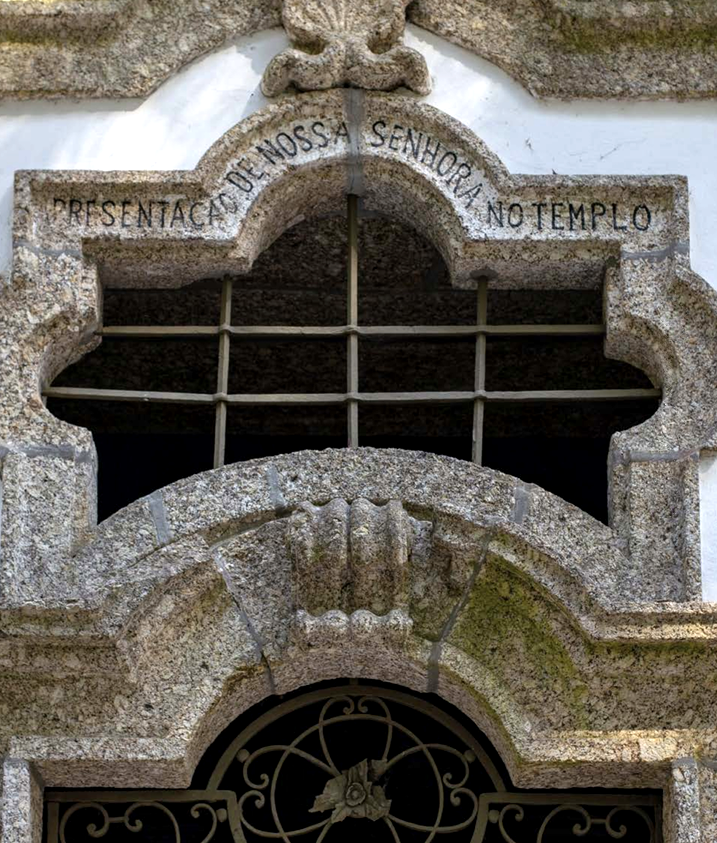
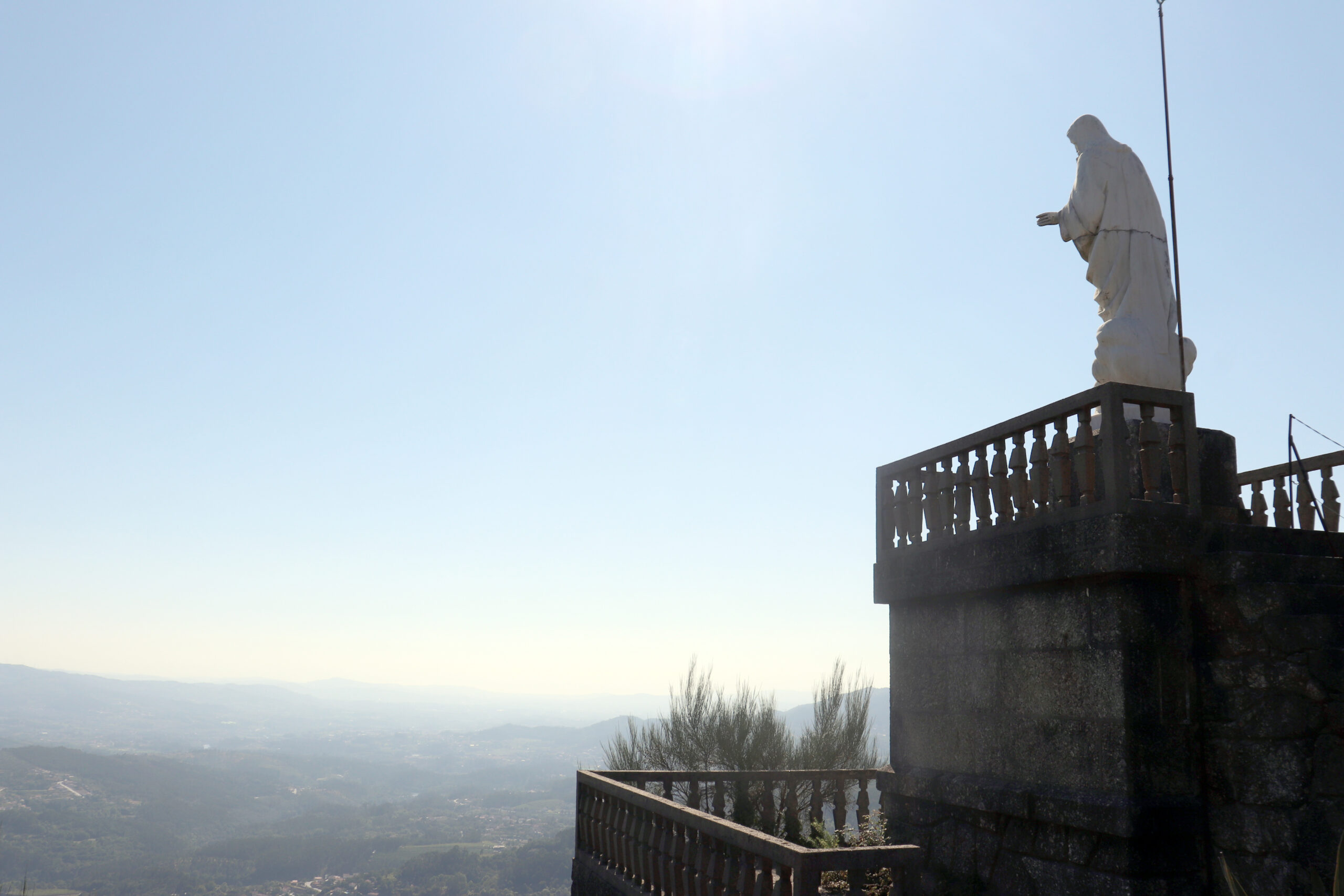
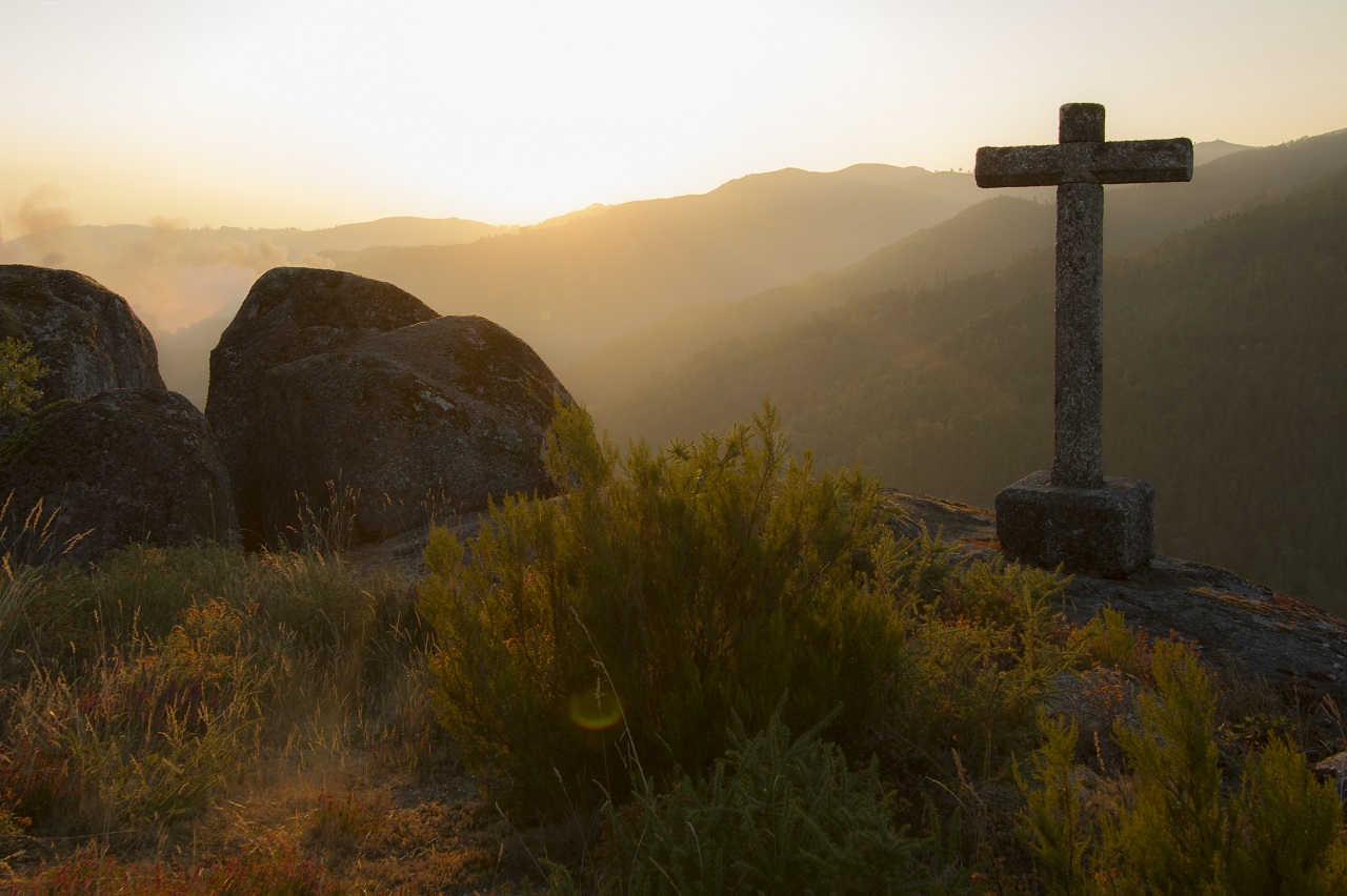
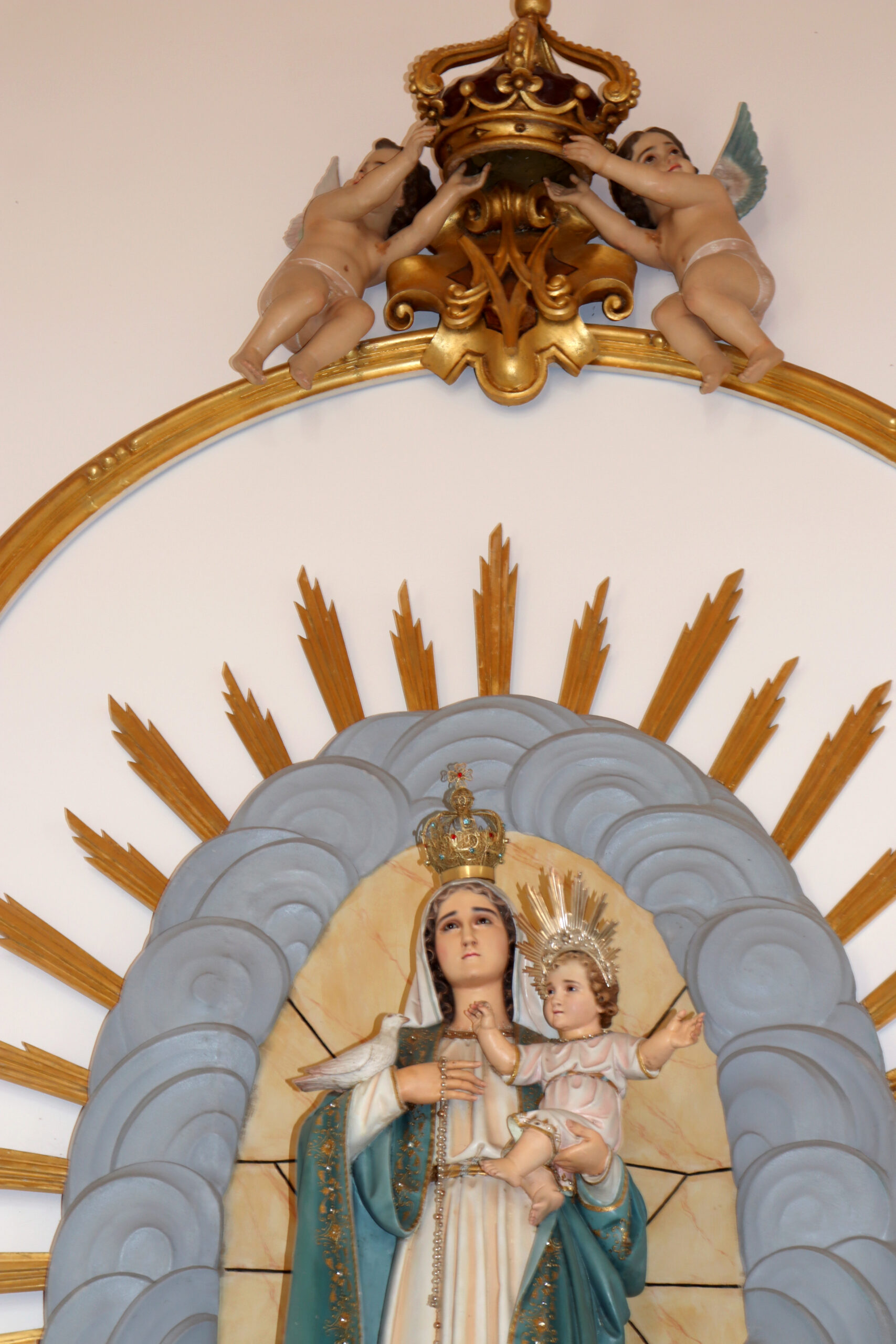
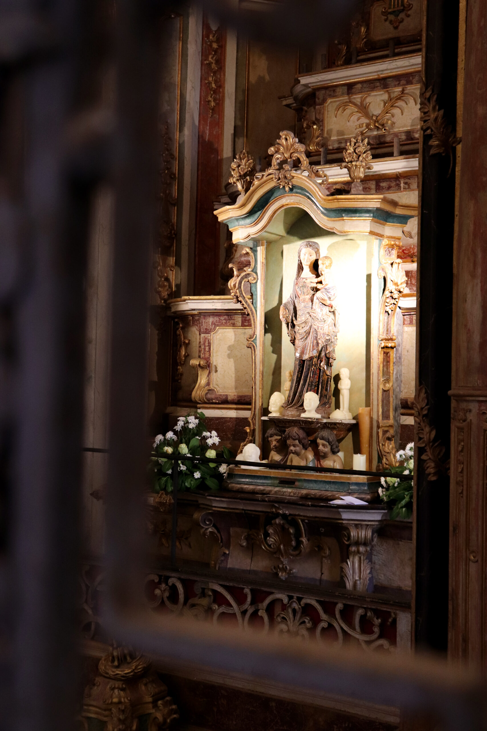
The Sanctuary of Nossa Senhora da Abadia is built on the mountainside, surrounded by vast vegetation, with the river flowing through the mountains and silence reigning throughout the space. The cross from the end of the 18th century, located in the center of the church’s large courtyard, indicates our arrival. On both sides of the square in front of the church, there are two buildings: the Casa das Ofertas dos Romeiros and the Barracks where, in times past, pilgrims spent the night. Today, it has been transformed into the Museum of Sacred Art of the Brotherhood of Nossa Senhora da Abadia. In the background, the Sanctuary stands out, considered by many to be the oldest Marian sanctuary in the Iberian Peninsula.
It was built in the first quarter of the 18th century, replacing a small medieval chapel built there in the 12th century, after the apparition of Nossa Senhora at the site of Abadia. The Sanctuary was integrated into the Monastery of Santa Maria de Bouro, built at the end of the 12th century by Benedictine monks who had occupied Monte de S. Miguel since the 9th century. A few years later, it began to be governed by the order of São Bernardo, remaining Cistercian until its extinction in 1834.
The main façade of the church is preceded by two granite bell towers with clock cartouches. In the center, a depressed arch with a coat of arms at the base, and at the top, a niche with the image of Nossa Senhora da Abadia.
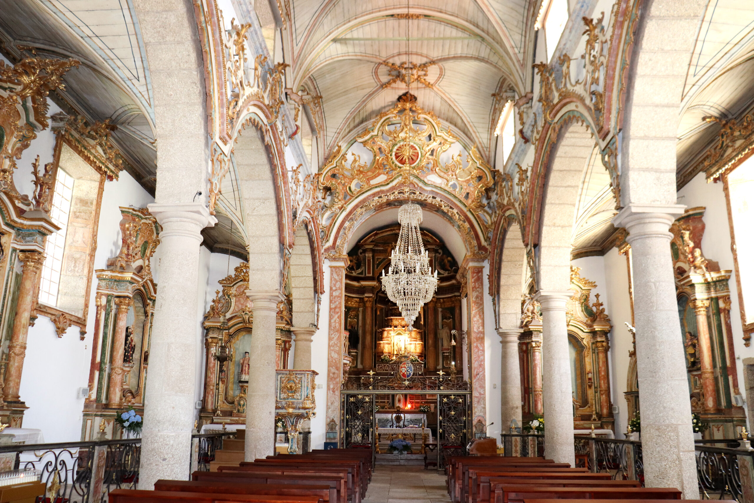
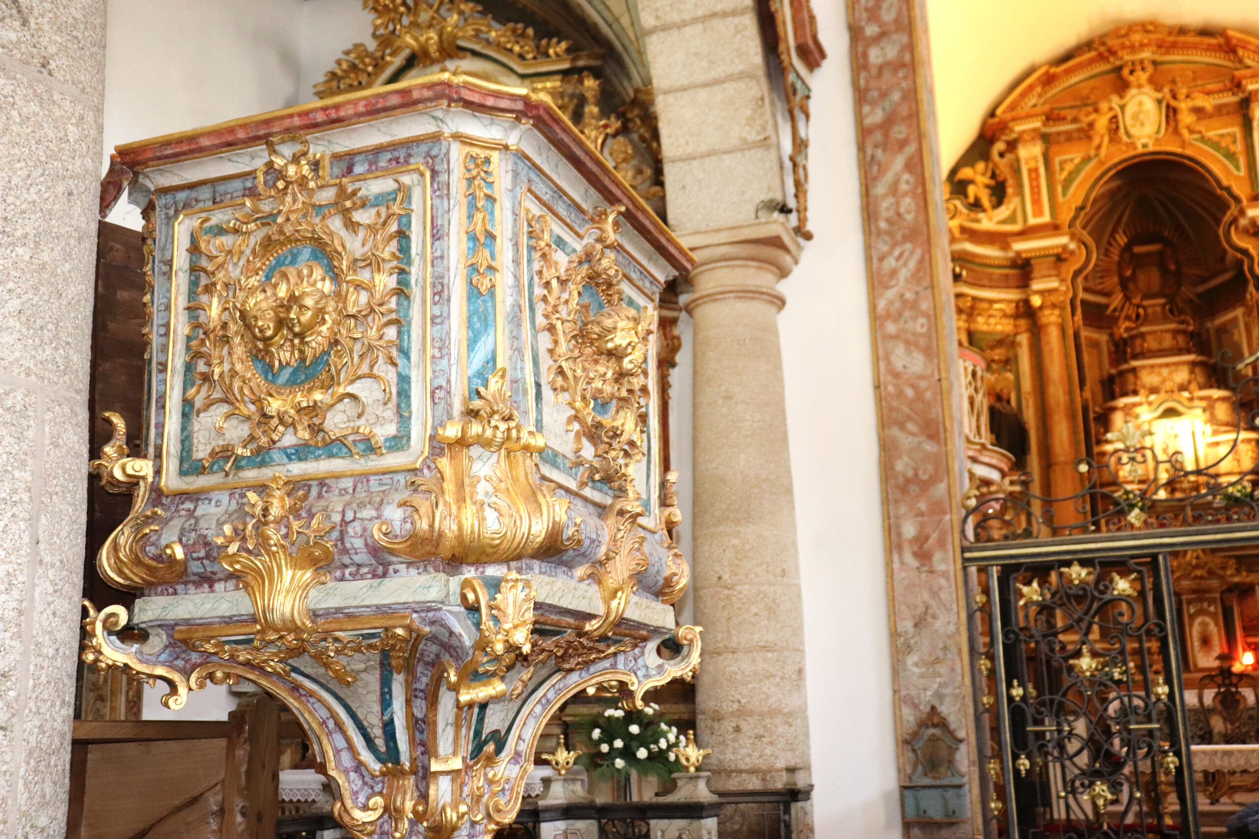
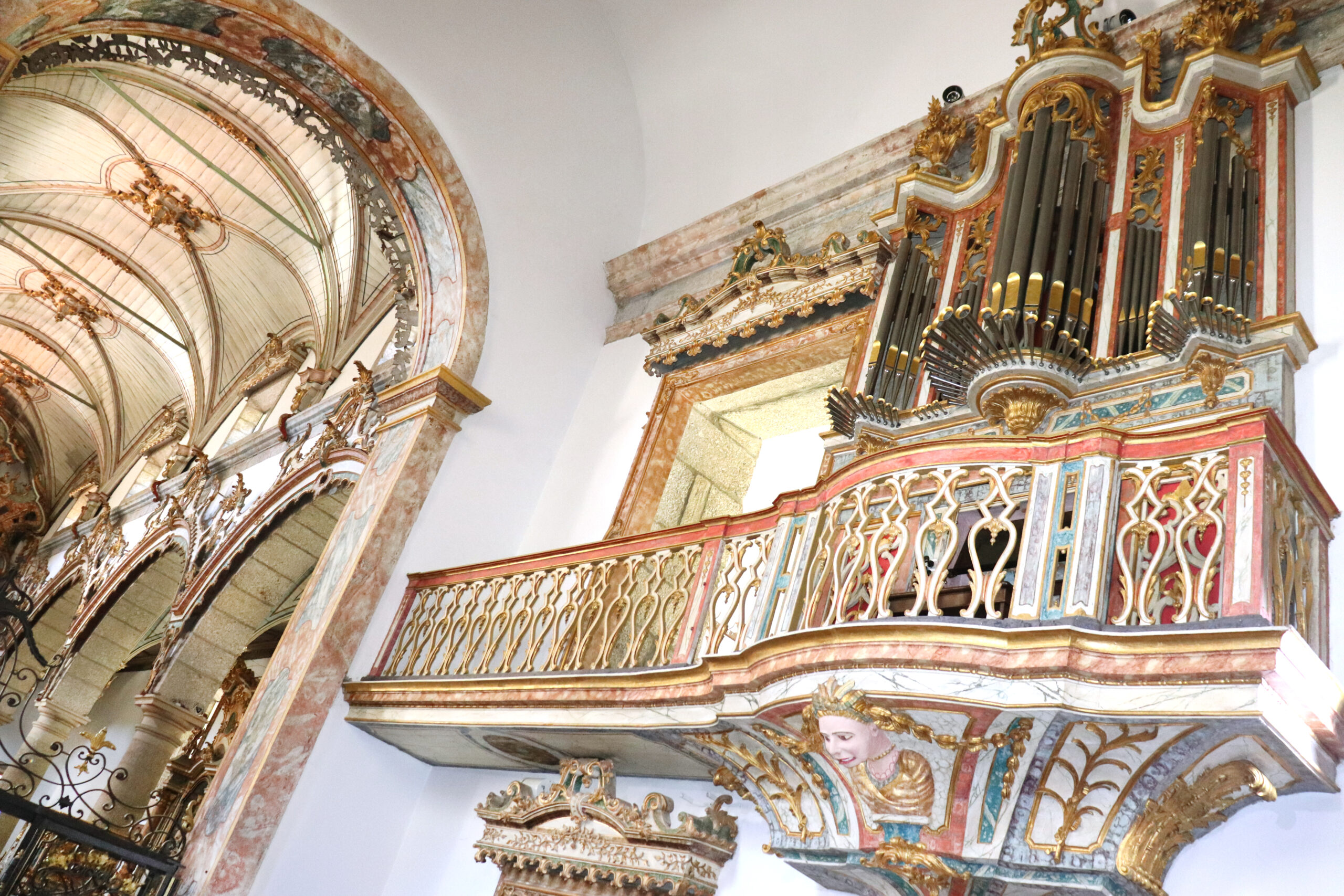
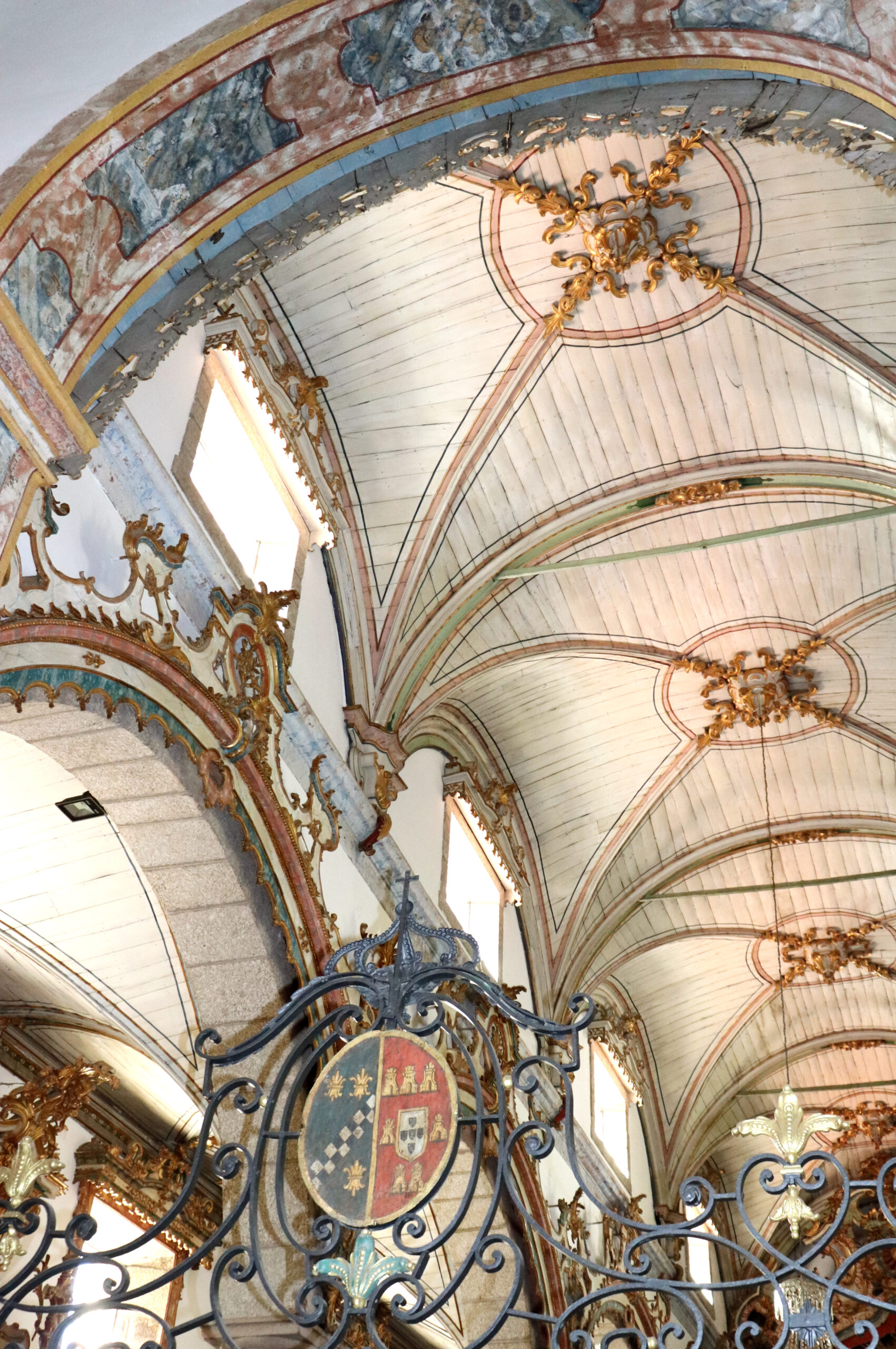
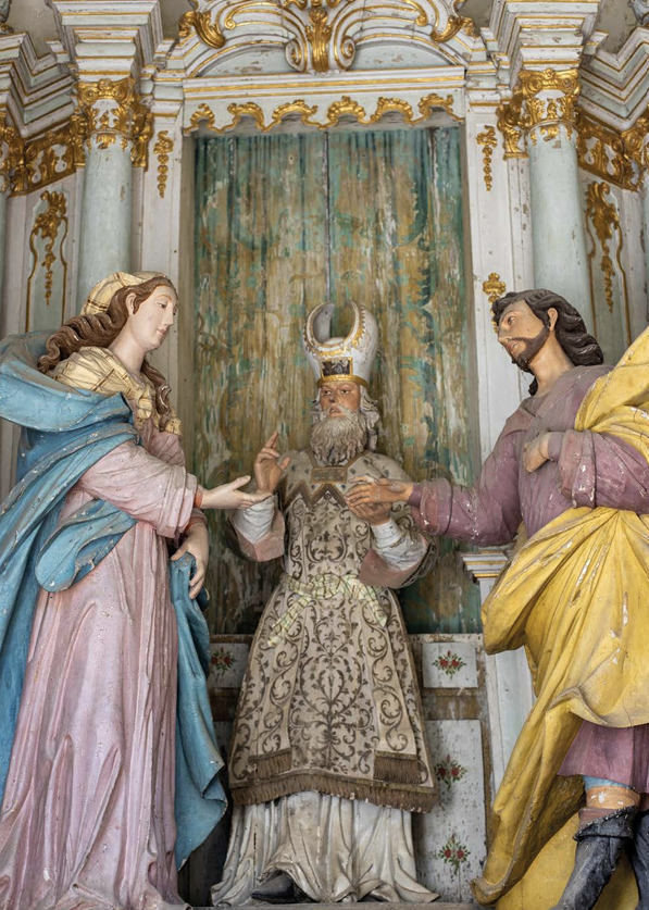
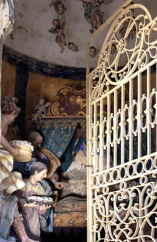
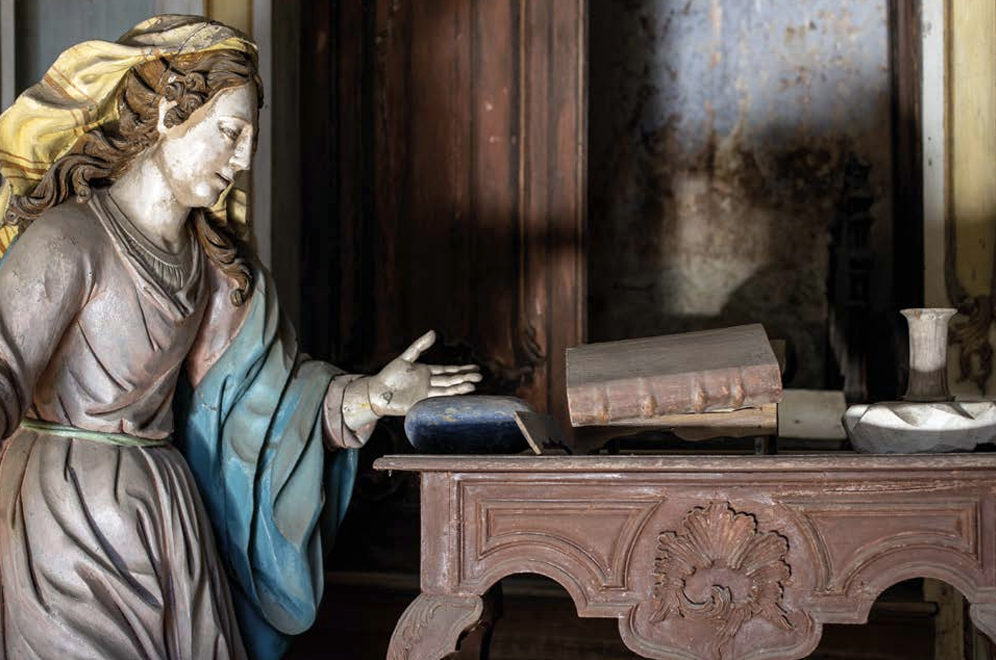
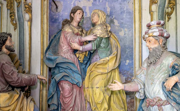
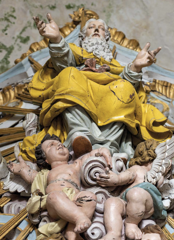
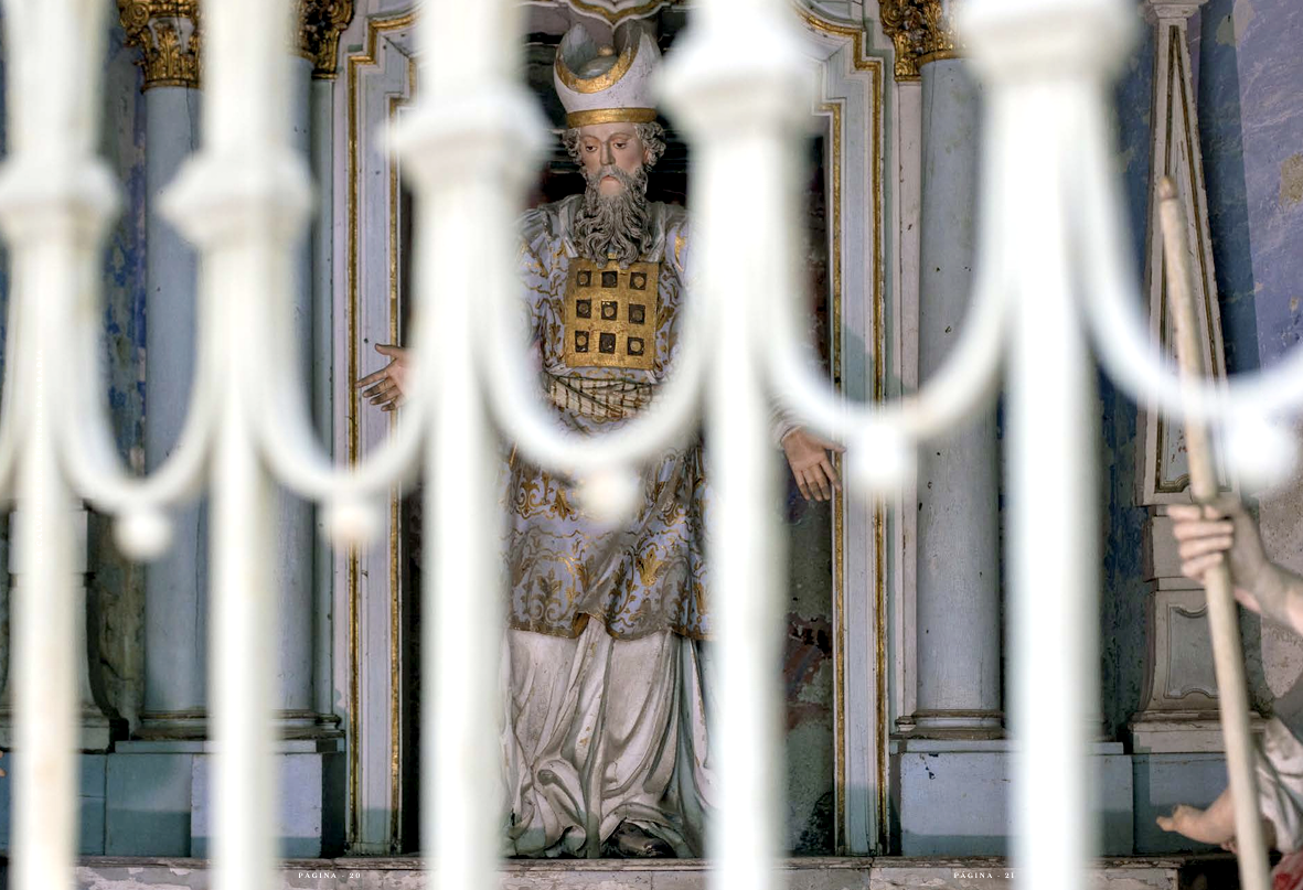
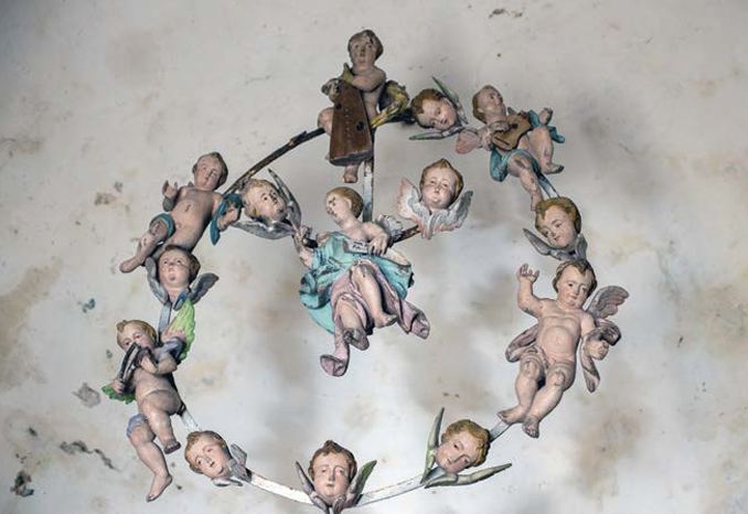
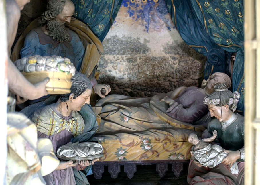
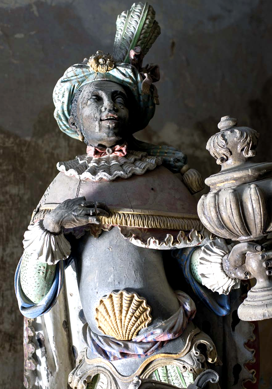
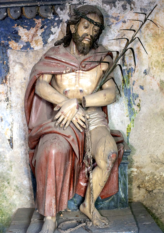
Inside, the numerous altars in the three side naves stand out, separated by round arches which, together with the main altar, impress with their grandeur and the beauty of their gilded carving. Also noteworthy is the 18th century organ, hand-carved, with the particularity of having a figurehead whose mouth moves simultaneously with the sound.
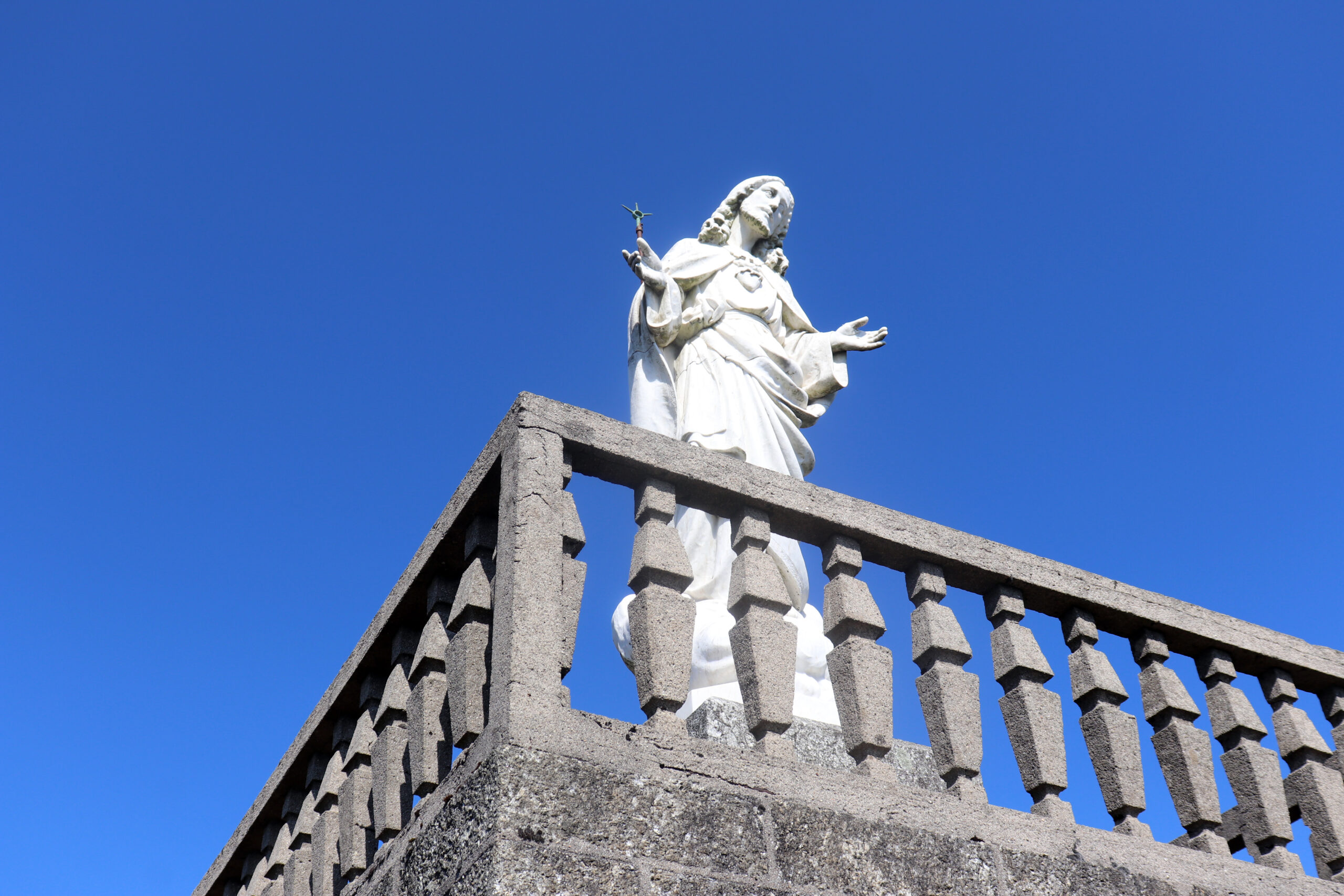
On the main altar, it is possible to climb up to the secular image of Nossa Senhora da Abadia with the Child in her arms, which is venerated by thousands of pilgrims who come there, mainly on the last Sunday of May and on August 15th. This sanctuary was classified as being of public interest in 2016.

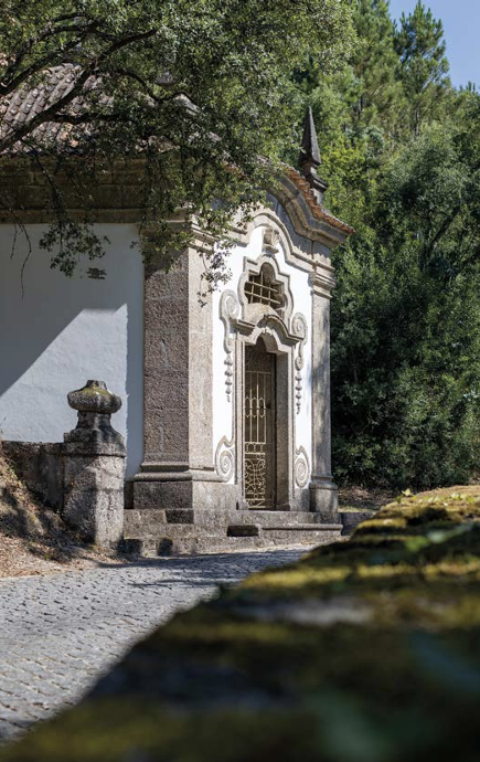


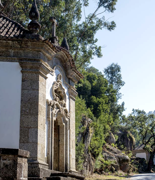
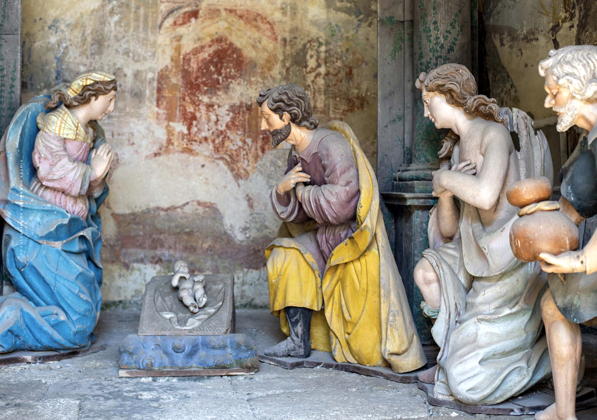
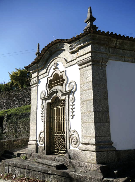
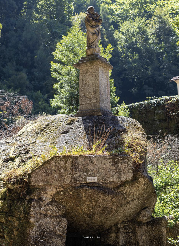
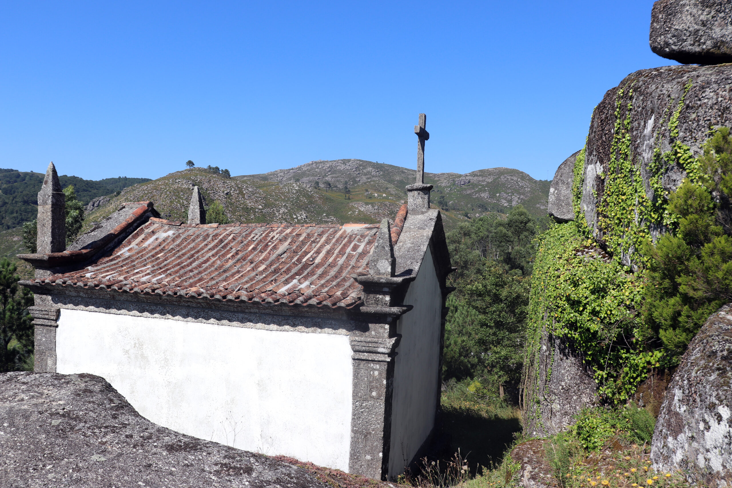
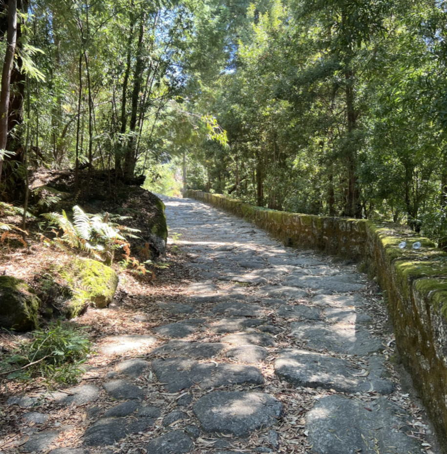
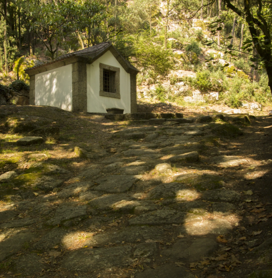
About a kilometer before the Santuário da Abadia, you can see the chapels corresponding to the paths of the “Passion of Christ” and the “Life of Mary”, popularly known as “Calvários da Senhora da Abadia” or “Caminhos de Belém”. A visit to the 15 chapels: seven rectangular and eight hexagonal with late Baroque façades, built mainly on the left side of the path, is a must, whether on a pilgrimage or just to enjoy nature. The rectangular chapels correspond to the main steps of the Passion of Christ, while the hexagonal ones represent the life of the Virgin Mary.
It is assumed that the chapels were built in the 18th century, after the visit of Archbishop D. Rodrigo de Moura Teles. Rodrigo de Moura Teles, responsible for the construction of the Bom Jesus do Monte staircase, in Braga.
The route is highly recommended for those who want to immerse themselves in the silence of the mountain, lulled by the singing of birds and the lapping of water, which are an uninterrupted feature throughout the Abadia.
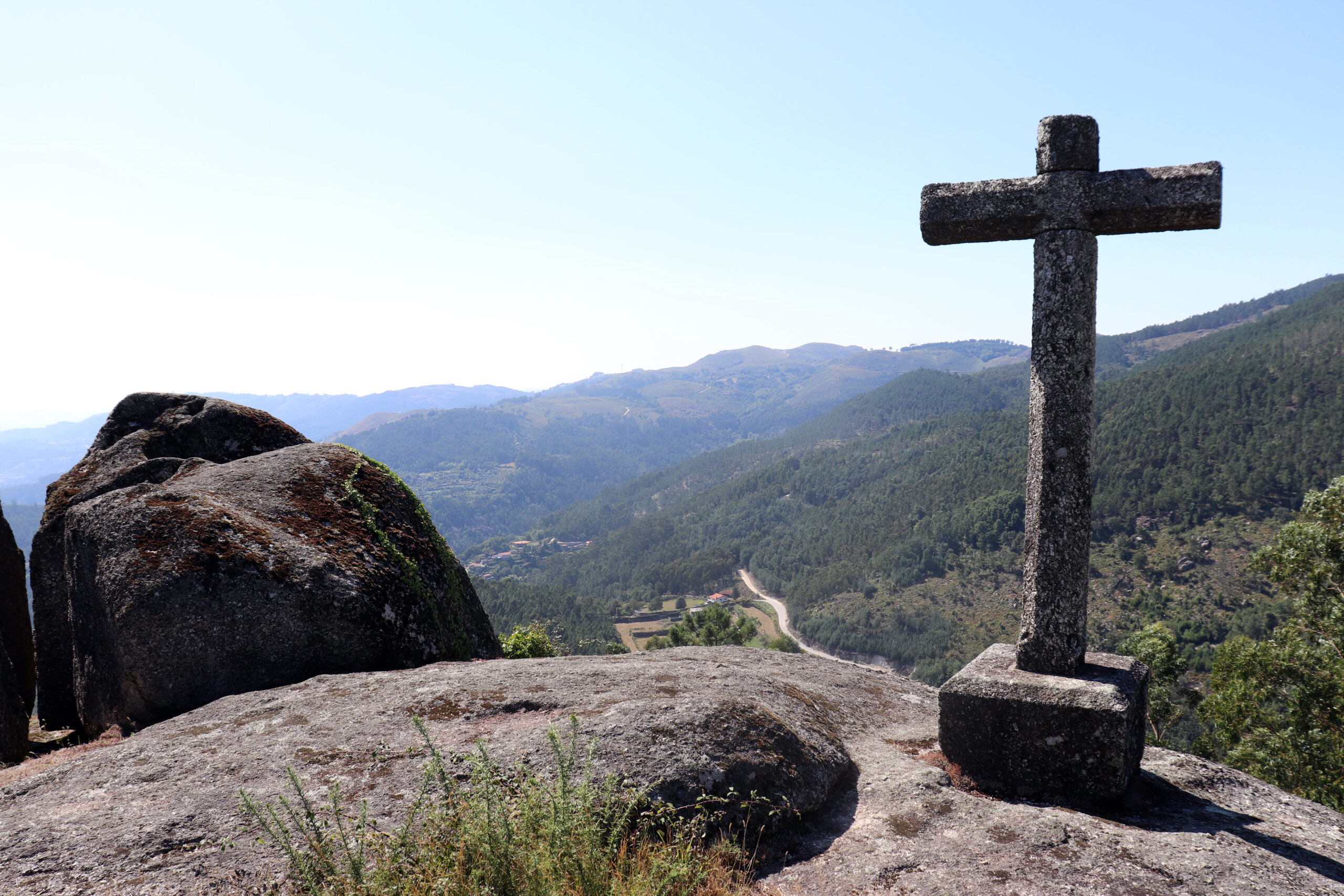
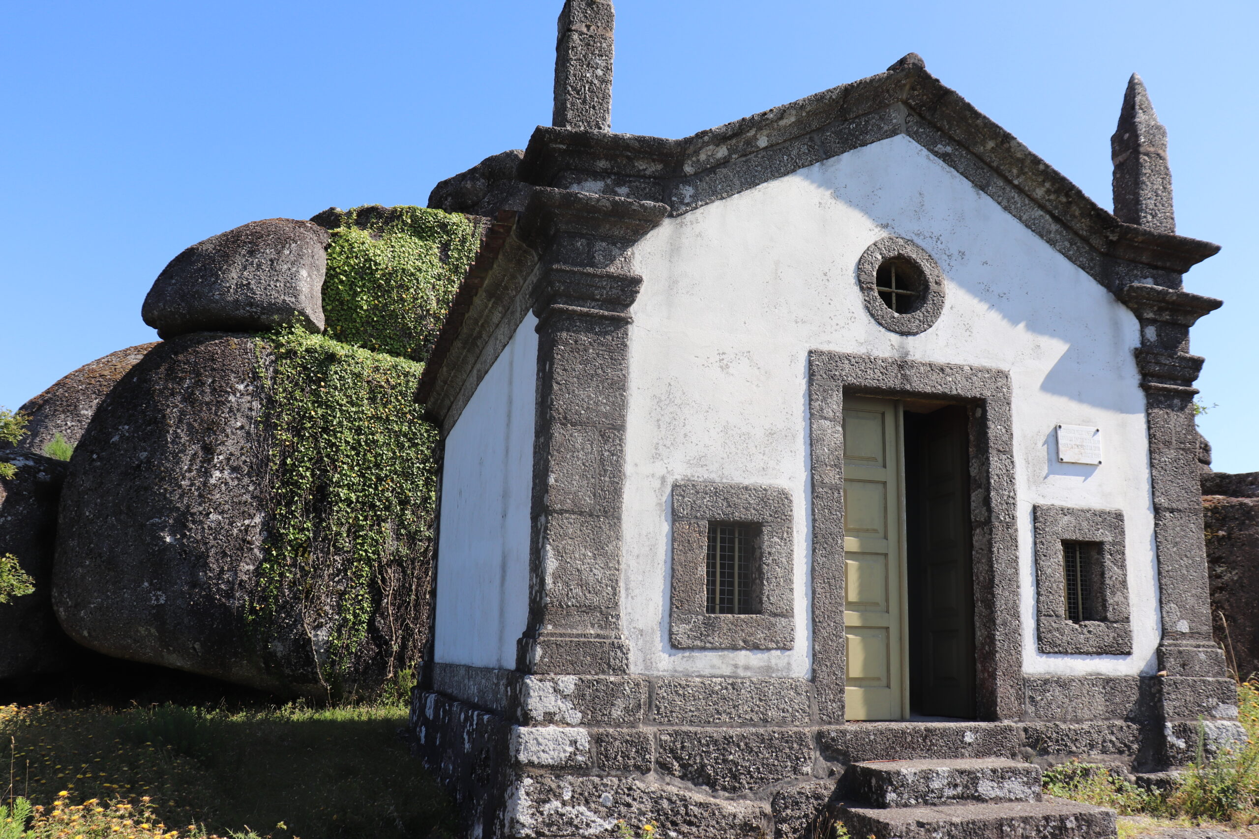
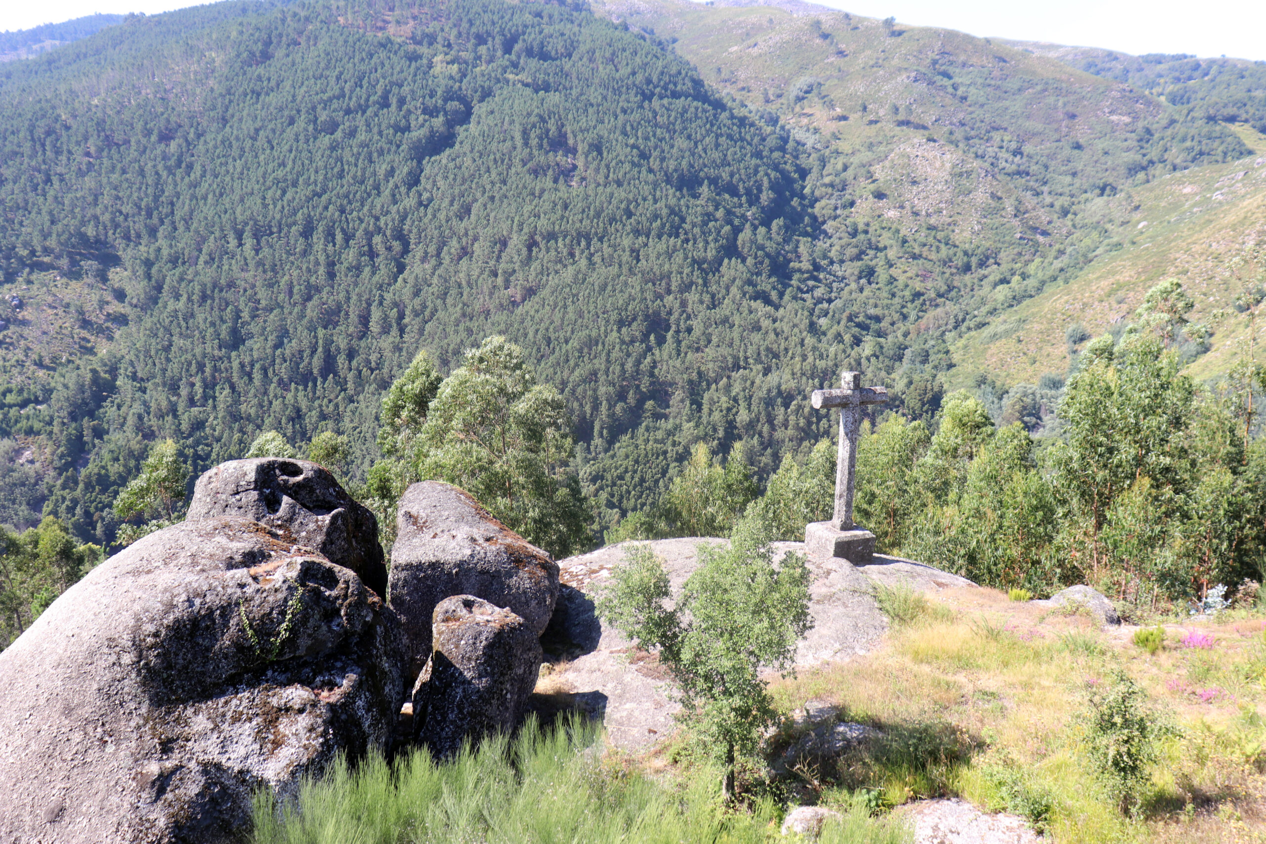
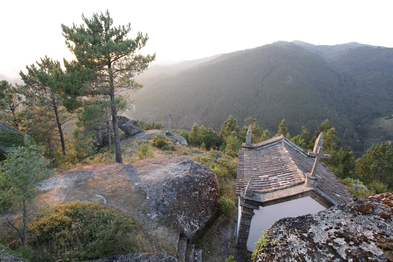
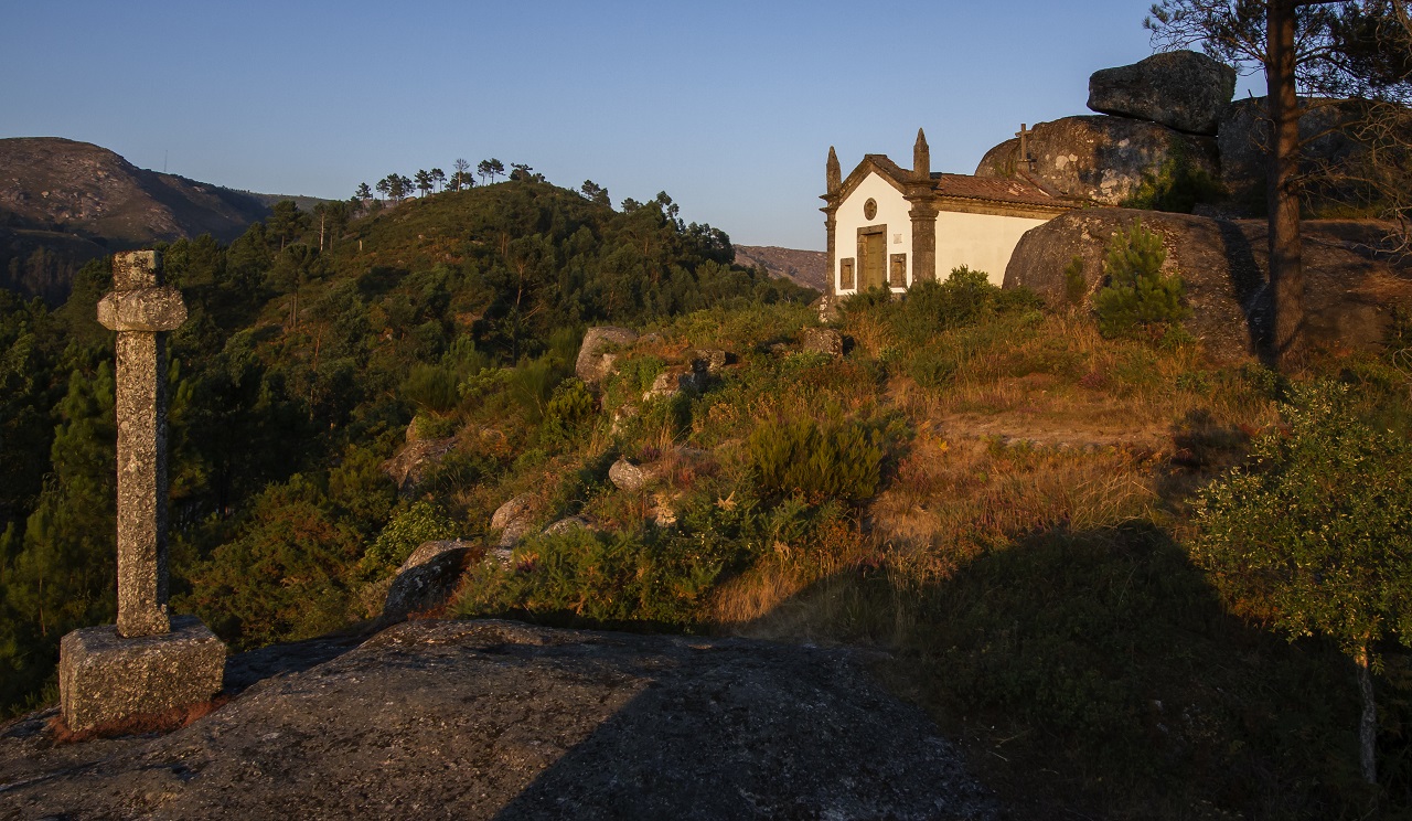
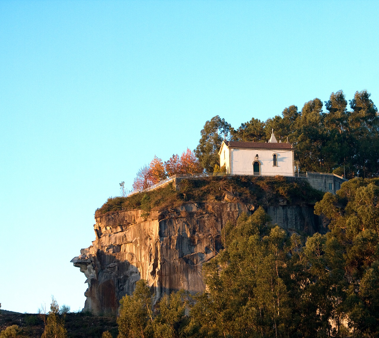
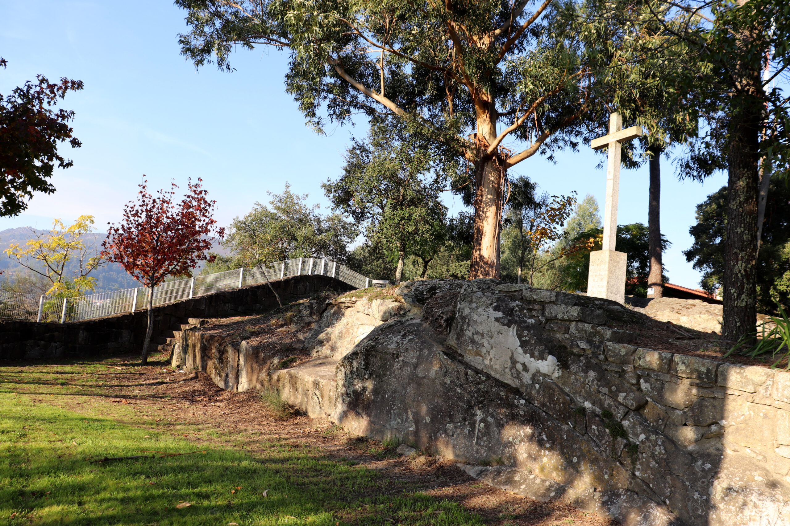
The mount of S. Miguel-o-Anjo is a viewpoint, framed by the rocky mountains of the Abadia, which gives it a good strategic position and excellent visibility over the Cávado valley.
Fragments of pottery from the Iron Age and Roman Period were found at this site.
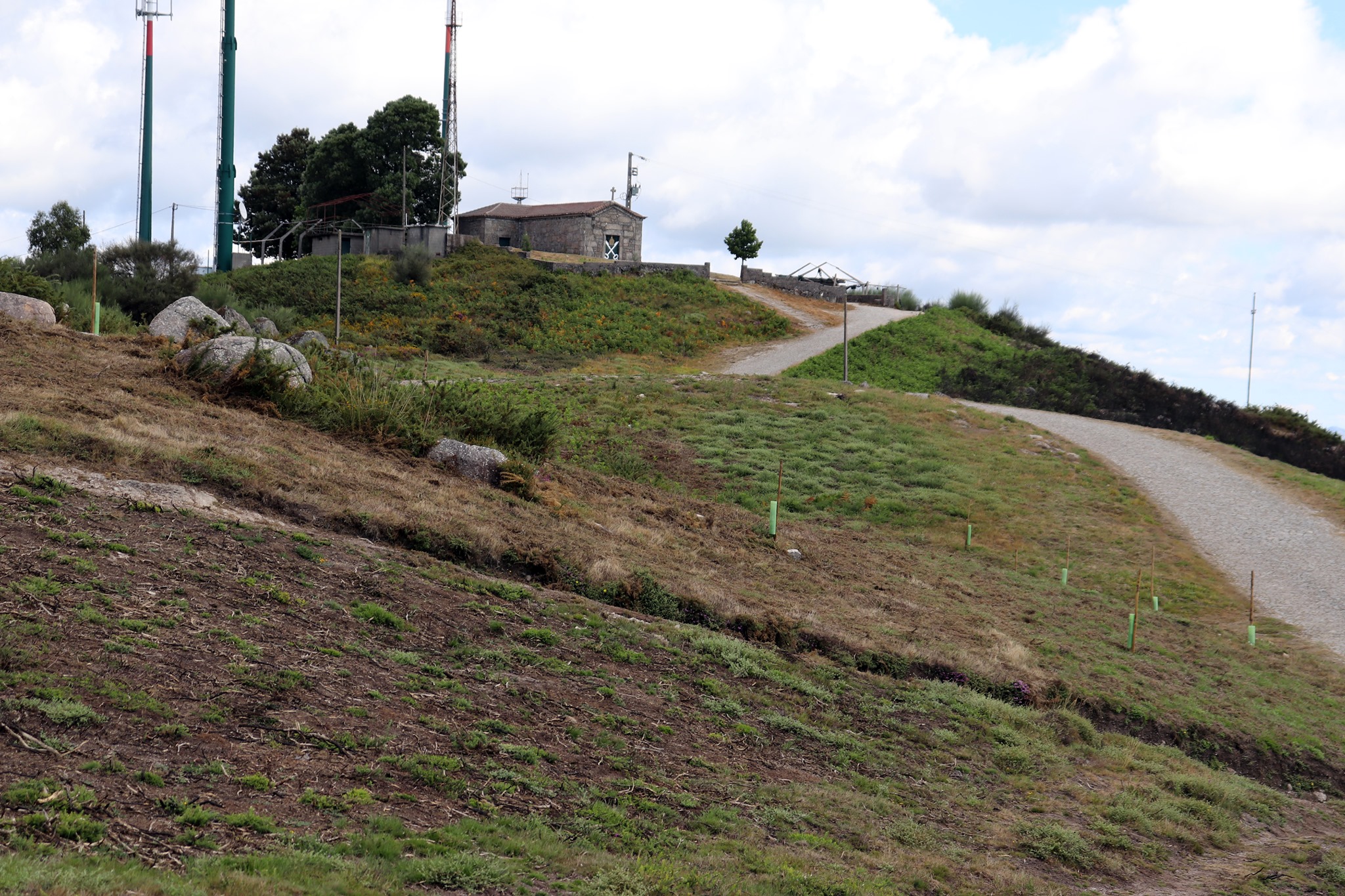
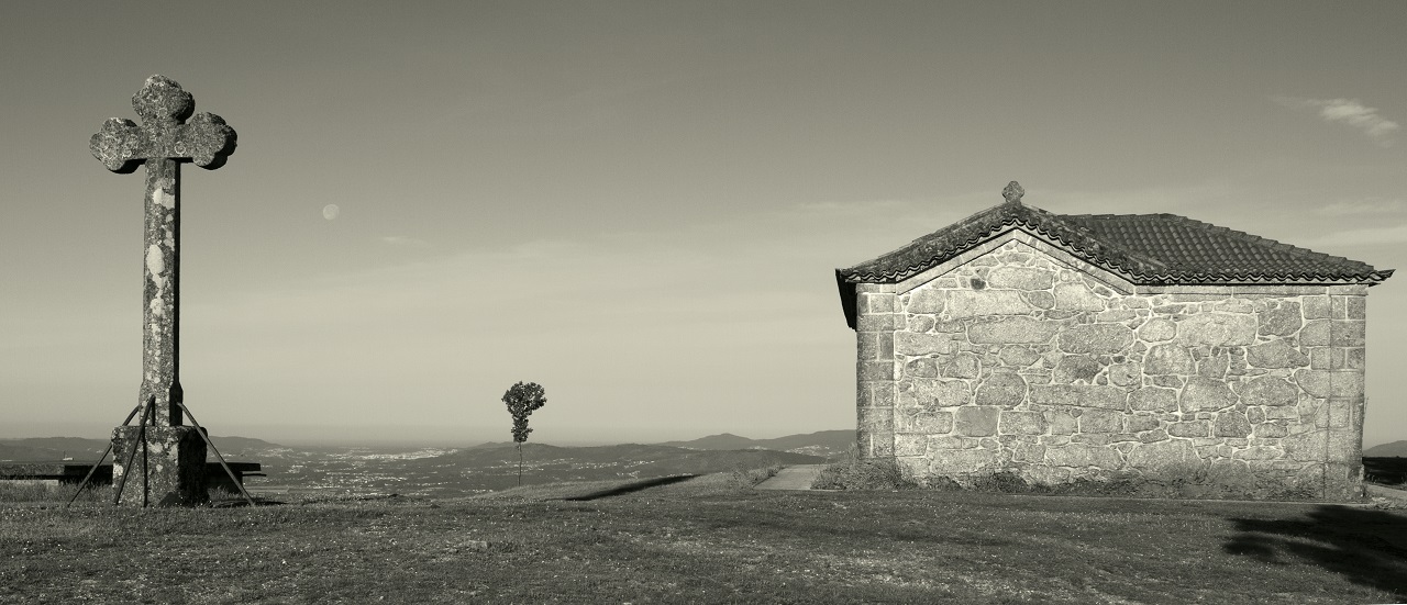
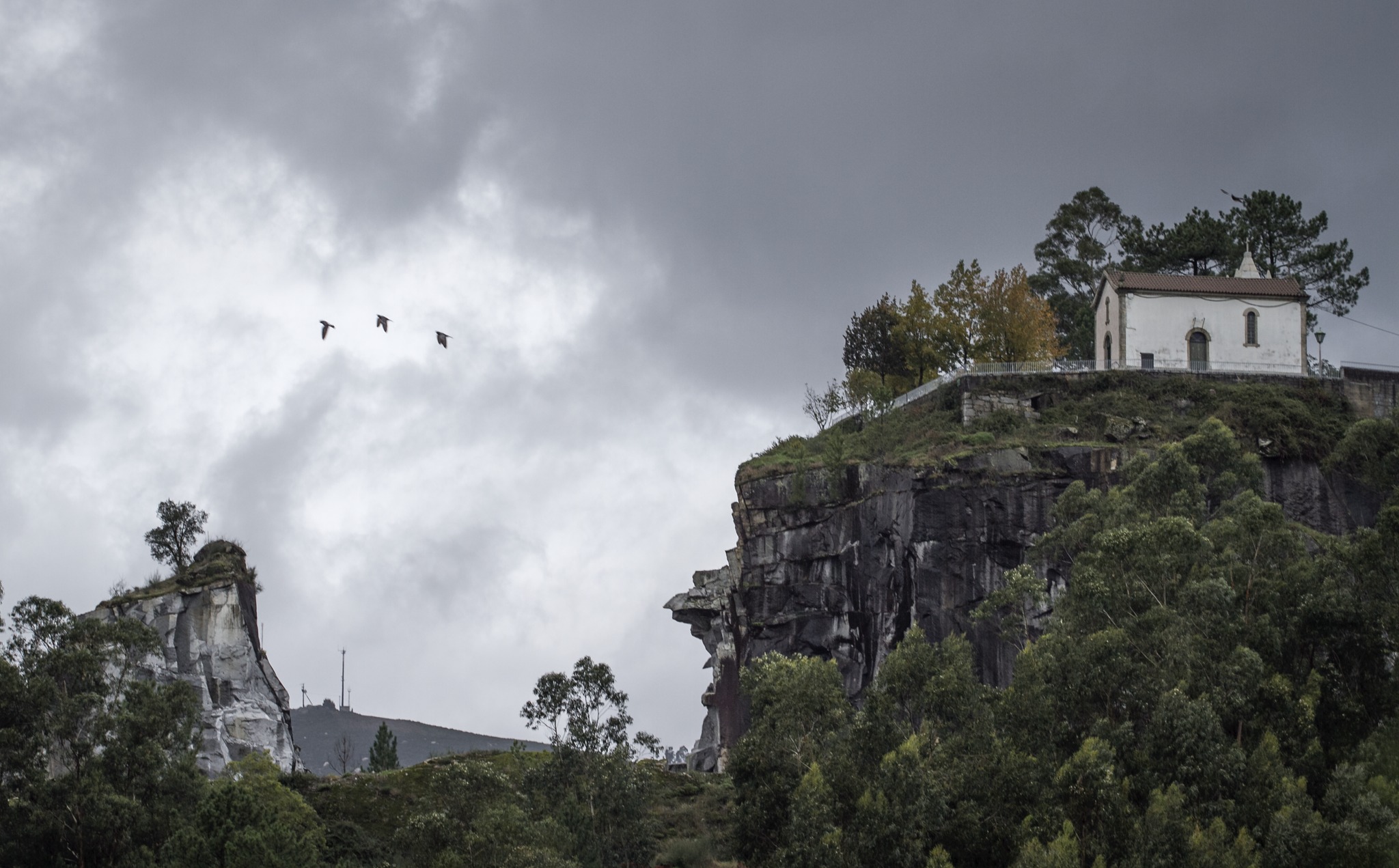
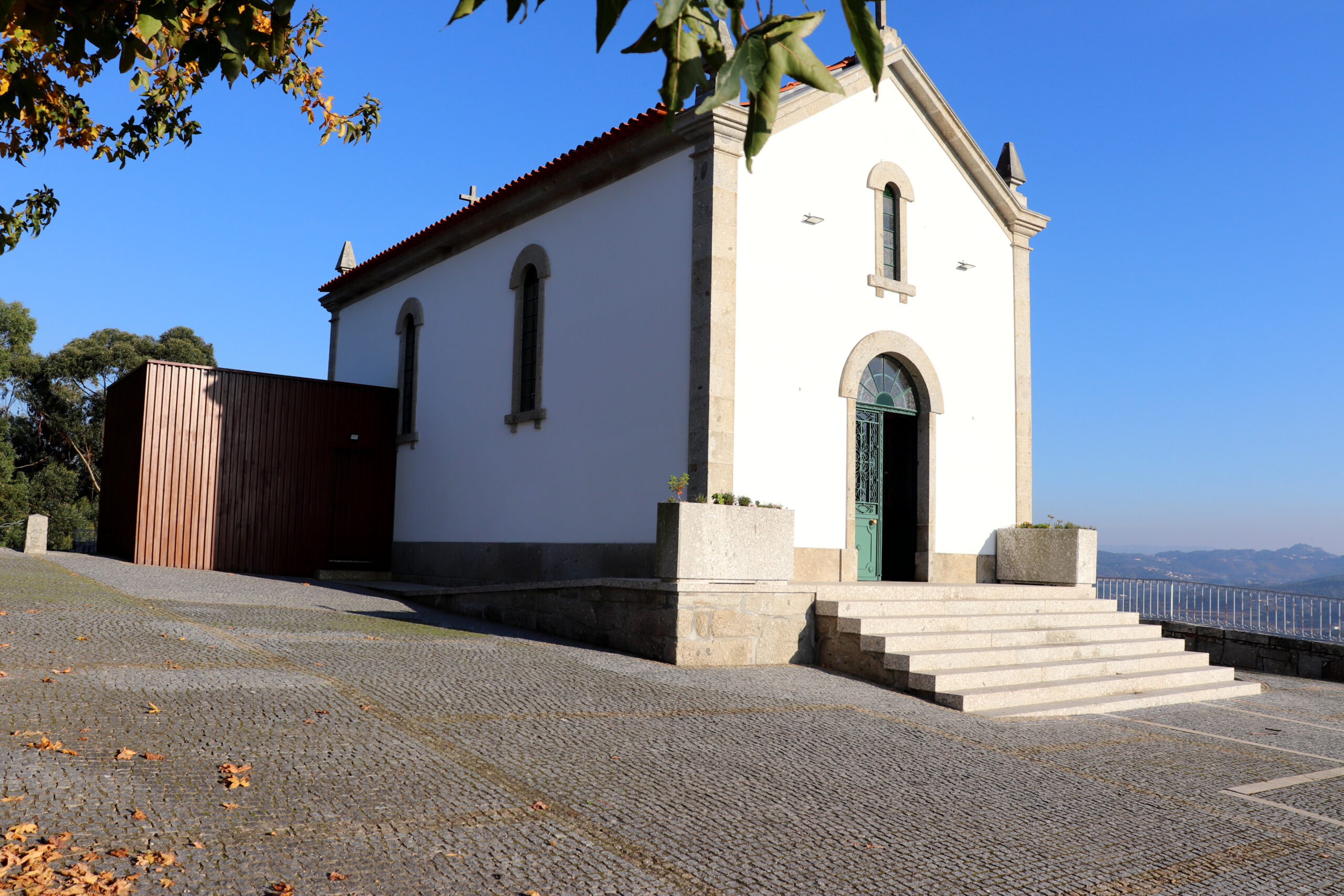
This chapel was rebuilt in 1869 and later, around 1950, improved to withstand the harsh weather and winds that occur during the winter.
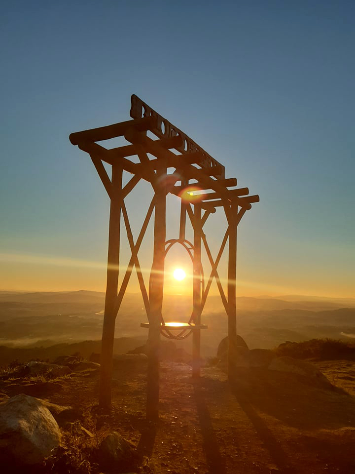
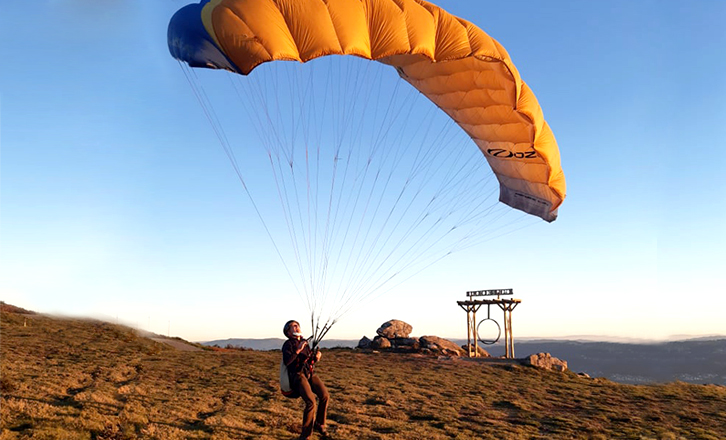
Although it is a chapel with simple architecture, it stands out for its landscape setting and strategic location for paragliding flights.
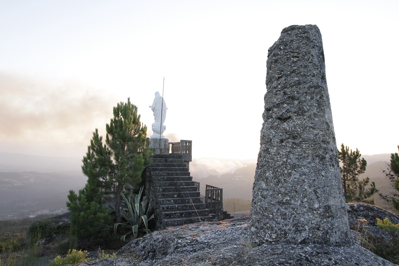
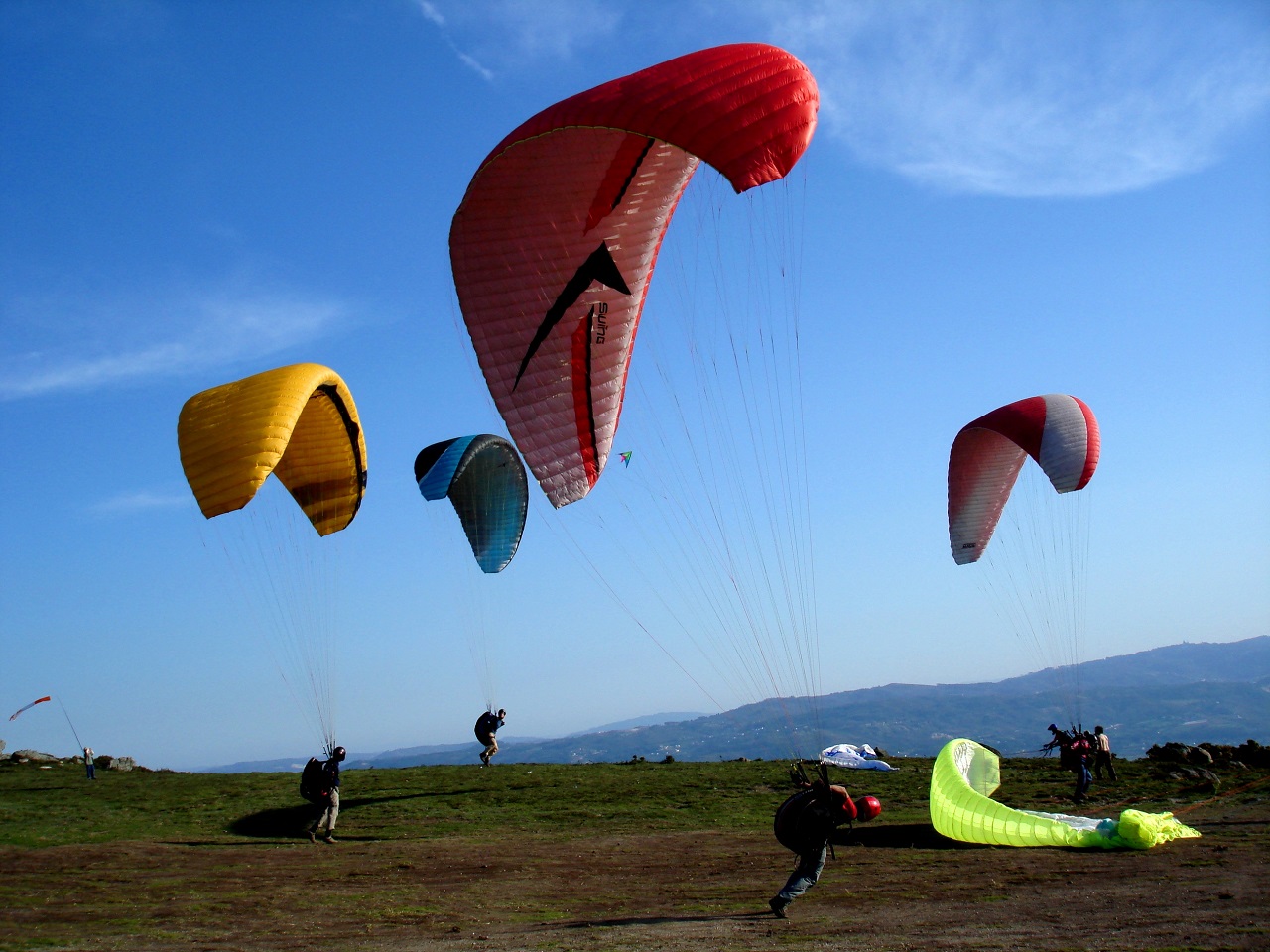
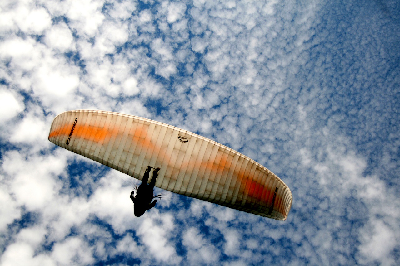
Monte S. Pedro Fins is an excellent place for the more adventurous and offers all paragliders a sensational panoramic view over the valleys of the Cávado River and the Homem River, which is why it is one of the favorite places for all lovers of adventure sports, such as paragliding.
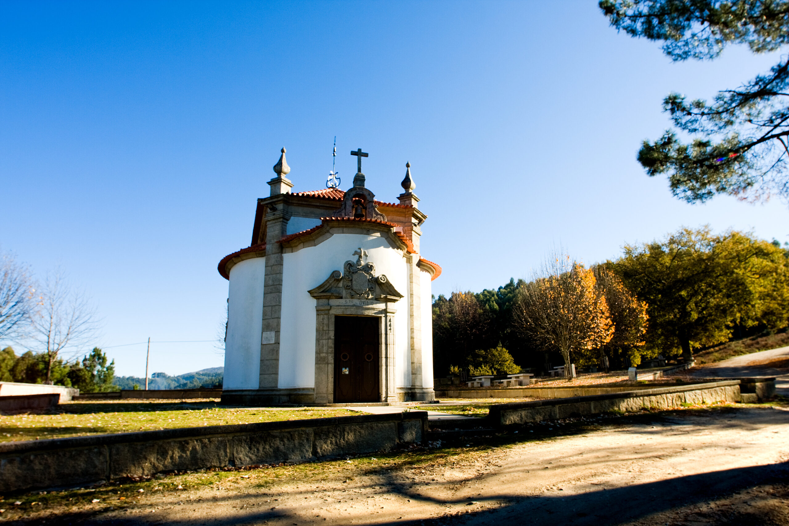
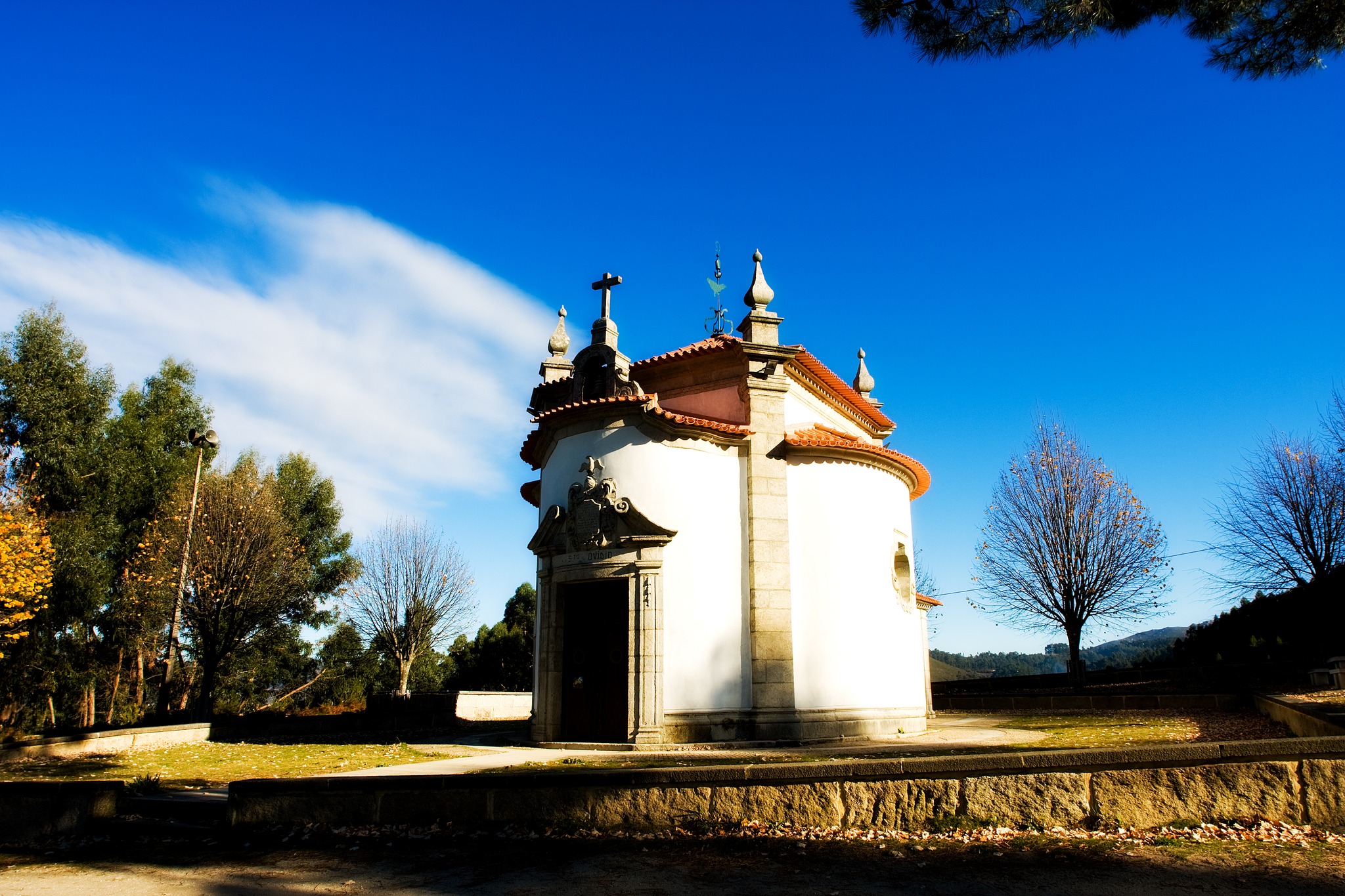
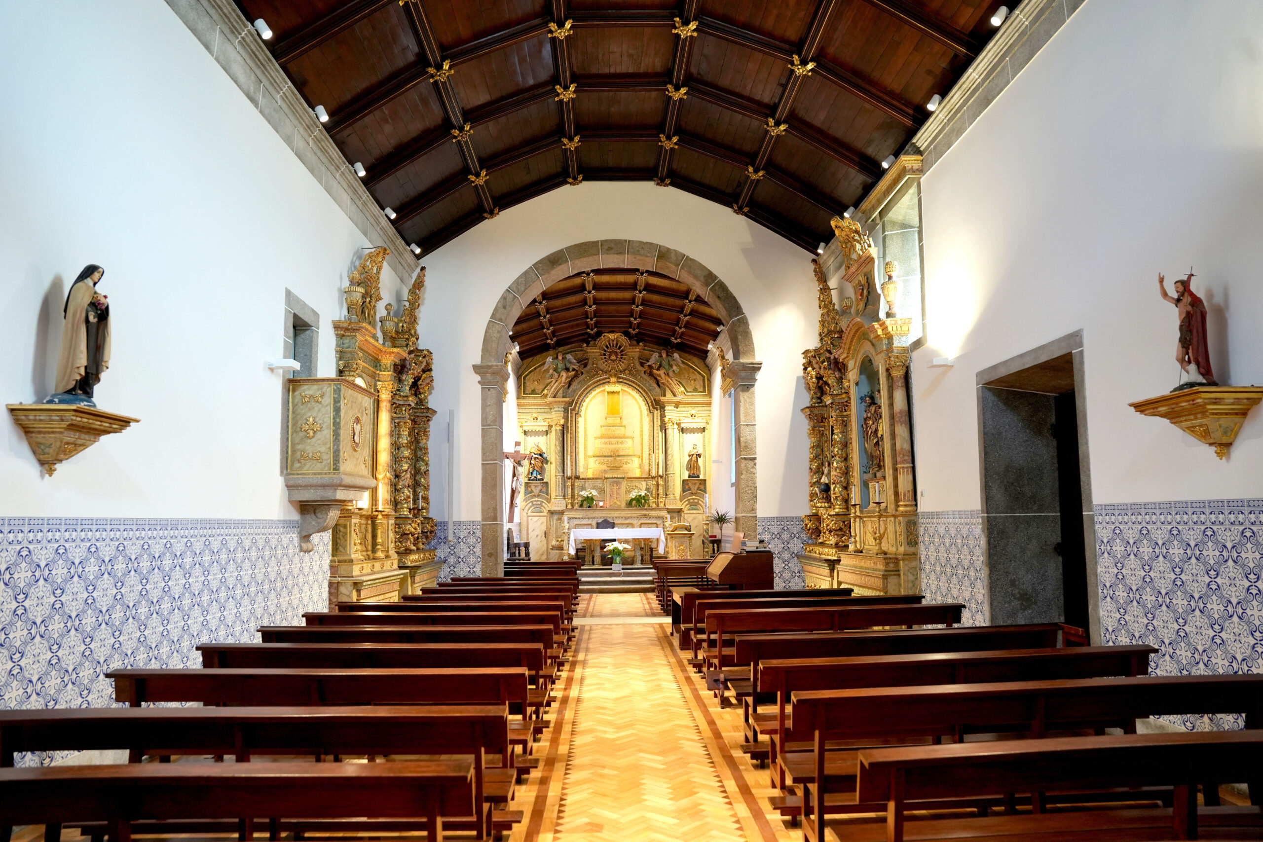
Located on the slope of the S. Pedro Fins mountain in Caldelas (Union of parishes of Caldelas, Sequeiros and Paranhos), the beautiful Chapel of Santo Ovídio was built in the 1830s, in the 18th century. With baroque religious architecture, with a single nave, centralized, quadrangular, with semicircular bodies, it has a plastered façade painted in white, marked by the curvilinear panels of the various bodies. Inside, the main chapel has a main altarpiece with polychrome carvings and marble in red and green, with golden details.
This chapel has the following inscription engraved on the coat of arms of the main portal: “JOZÉ ALVES DE AZEVEDO SERGEANT MOR IN THE DISTRICT OF MINAS DO RIO DAS MORTES, PROFESSED KNIGHT IN THE ORDER OF CHRIST, BORN IN THE CITY OF BRAGA, ORDERED THIS CHAPEL TO BE BUILT IN 1739”, which means that it was built according to instructions and with financing from this gentleman.
Feast in Honor of Santo Ovídio on the 1st Sunday of June.
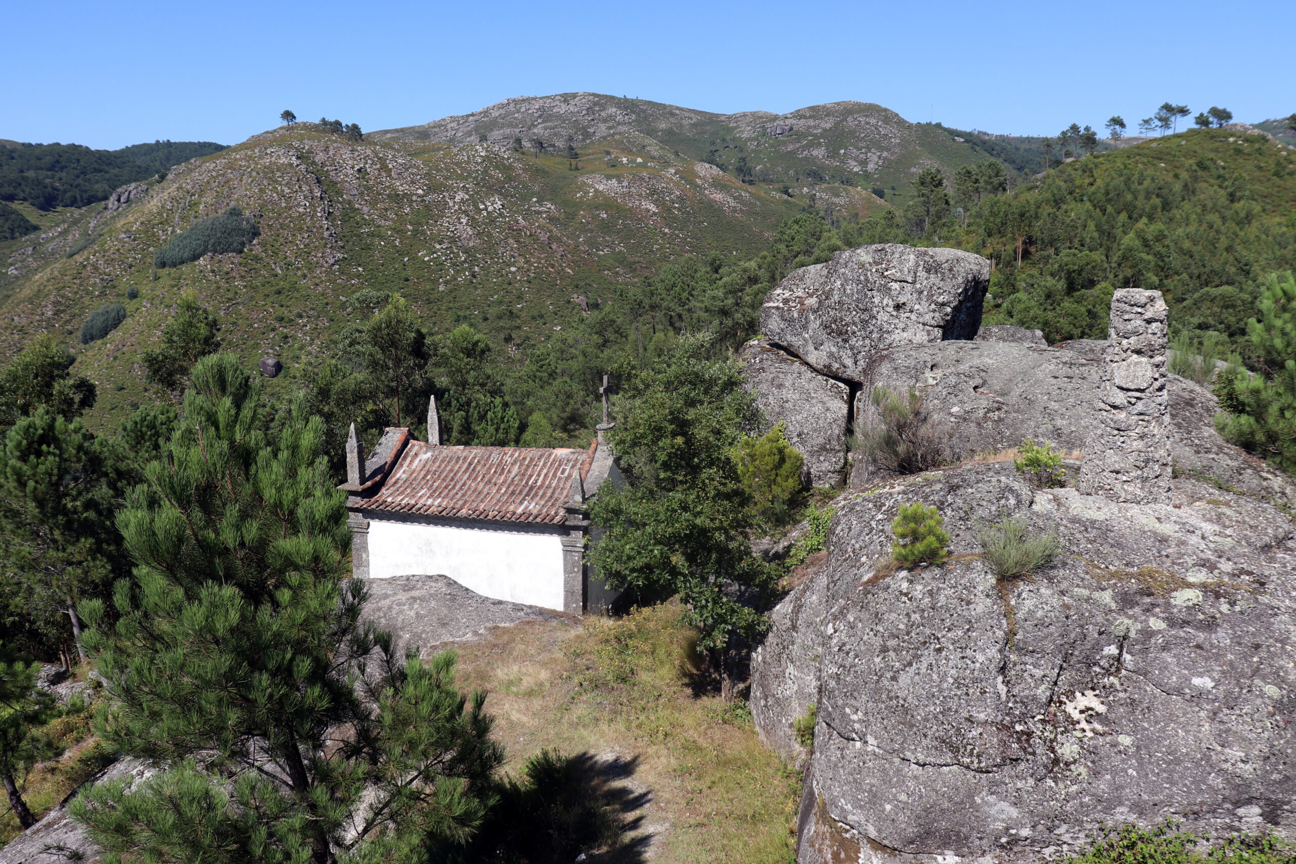
The chapel with its simple lines stands on a high point in the municipality, forming a viewpoint of rare beauty, which became important due to the various periods of occupation during the late Bronze Age. In the excavations carried out on site, it was not possible to portray the period of Prehistory in which it was occupied, however it was in the 10th century a.c. which confirms the first human presence on Monte da Santinha. Several remains were found on the acropolis that demonstrated how the town was organized, its activities and its rituals.
The second occupation of this site is proven by the appearance of three open pits, larger than the previous ones, and by the appearance of other remains. After this occupation the town was abandoned for many centuries.
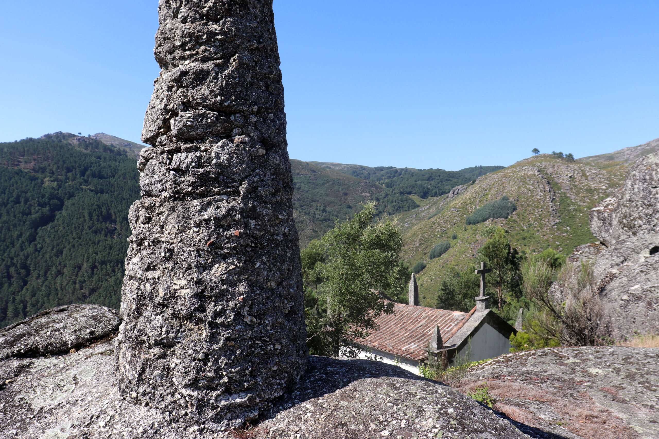
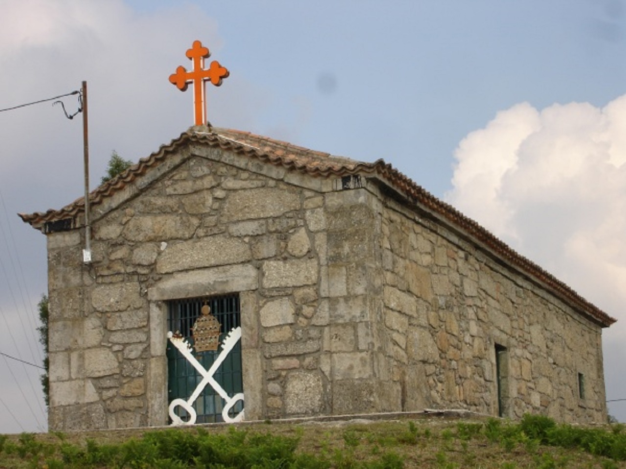
This chapel has a longitudinal plan, with a single nave and a rectangular chancel, narrower, attached to the axis. The facades are made of granite, with Tuscan pilasters at the corners and crowned by tall pyramidal pinnacles.
O Santuário da Nossa Senhora da Abadia, zona privilegiada onde a natureza impera no seu estado puro, oferece ao visitante dois Caminhos muito utilizados por peregrinos e caminheiros. Ao longo do percurso aparecem vários fontanários onde o visitante se poderá refrescar da subida íngreme que o traçado apresenta. Este caminho apresenta um grau de dificuldade moderado.
Outro caminho que complementa o traçado geral é o Caminho do Formigueiro. Este caminho tem um grau de dificuldade menos acentuado, mas oferece o mesmo encanto.
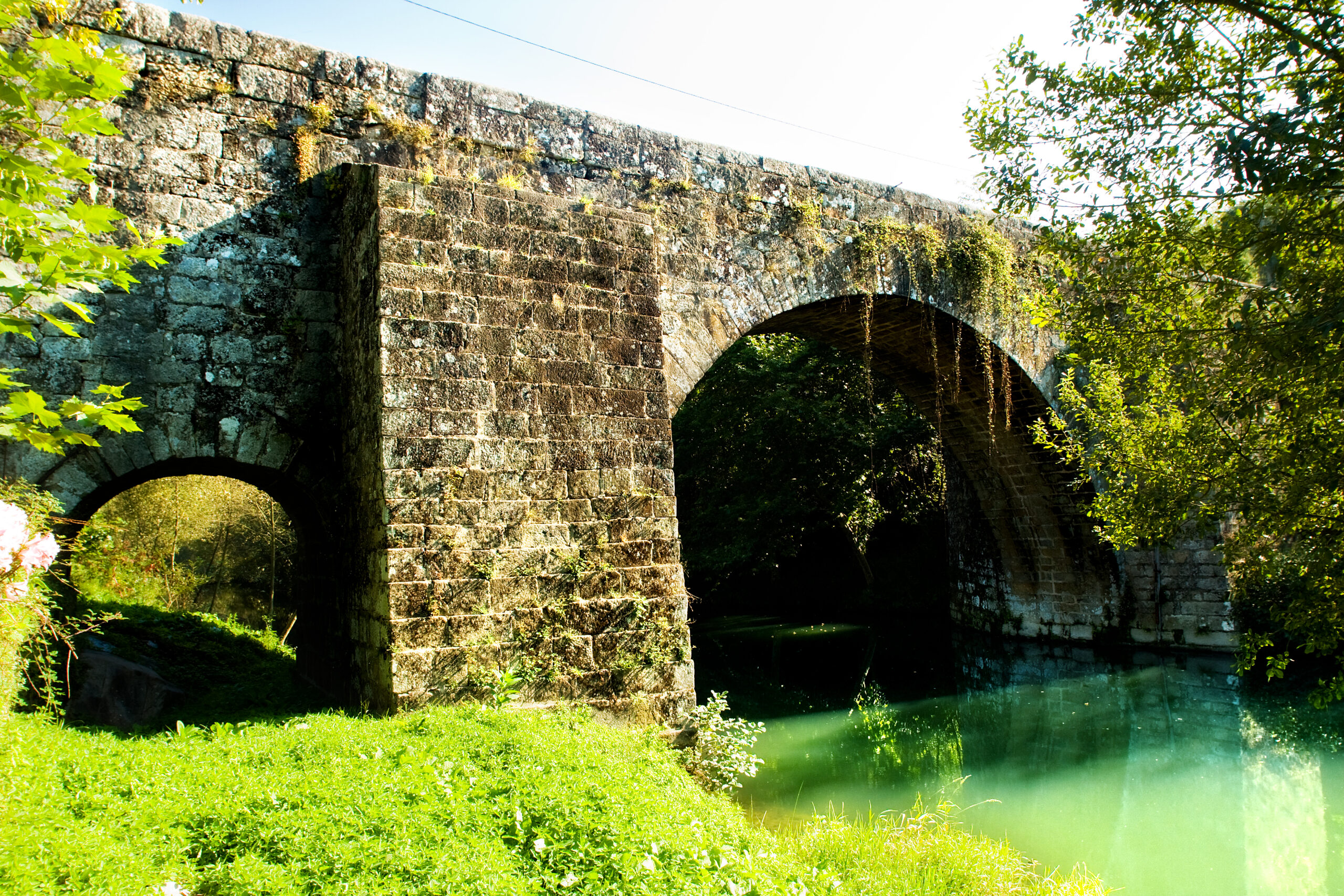
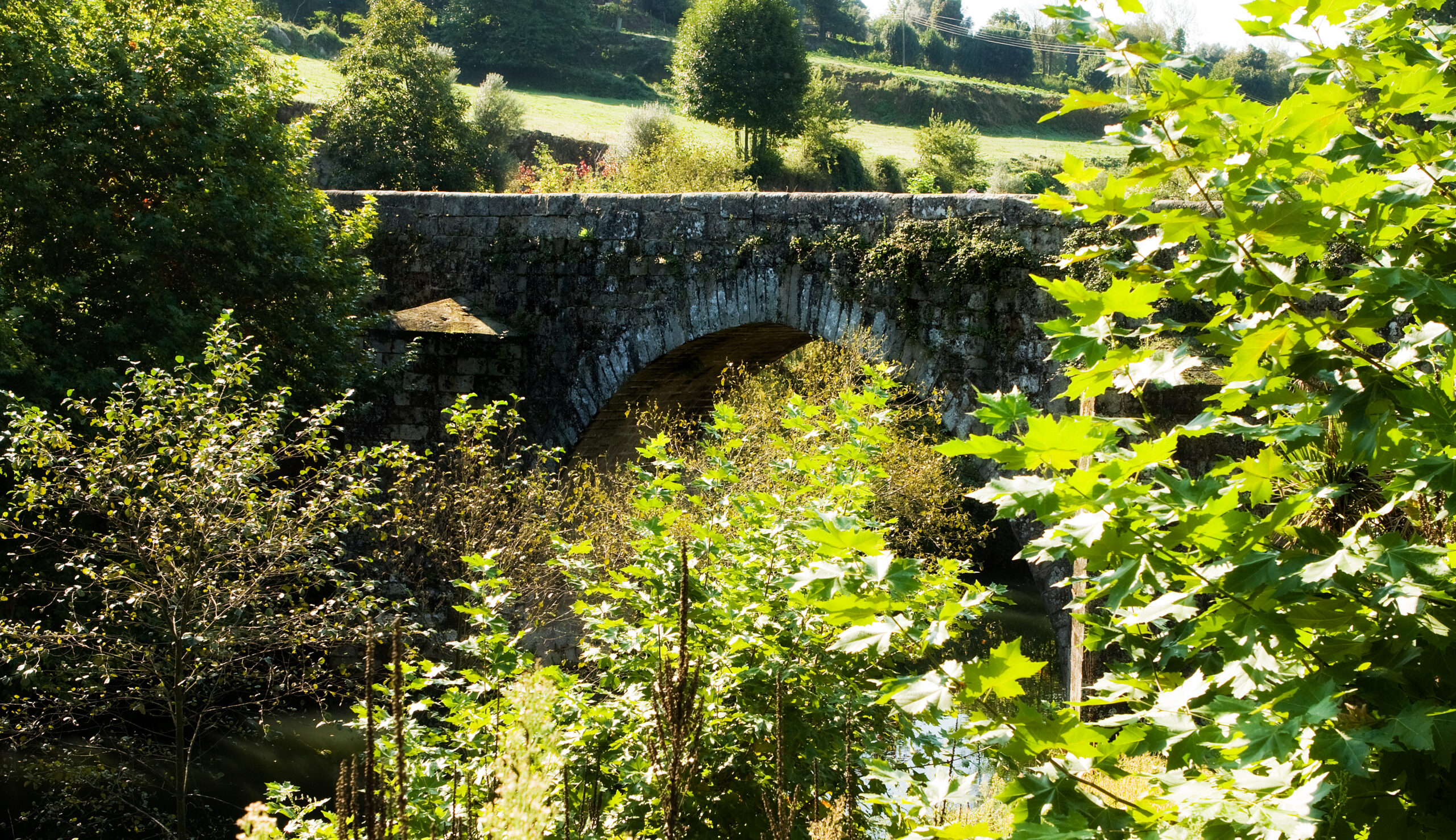
It is located in Caldelas (Union of Parishes of Caldelas, Sequeiros and Paranhos) and has a flat deck over three unequal arches, with two buttresses with a triangular-shaped cut and a rectangular cut.
Its grandiose beauty belies its size, that is, although the Ponte de Rodas has small dimensions, with a single car lane, it does not call into question its grandeur and robustness.
The Virgin Mary, Mother of God, has always been and will always be venerated in the most diverse ways and will always be present in various religious manifestations. There are countless temples that arise in his veneration where devotion and faith capture thousands of faithful.
The Marian Route is an example of this importance and devotion, which includes all the Sanctuaries where the presence of Nossa Senhora gives rise to constant manifestations and celebrations of religious festivals.
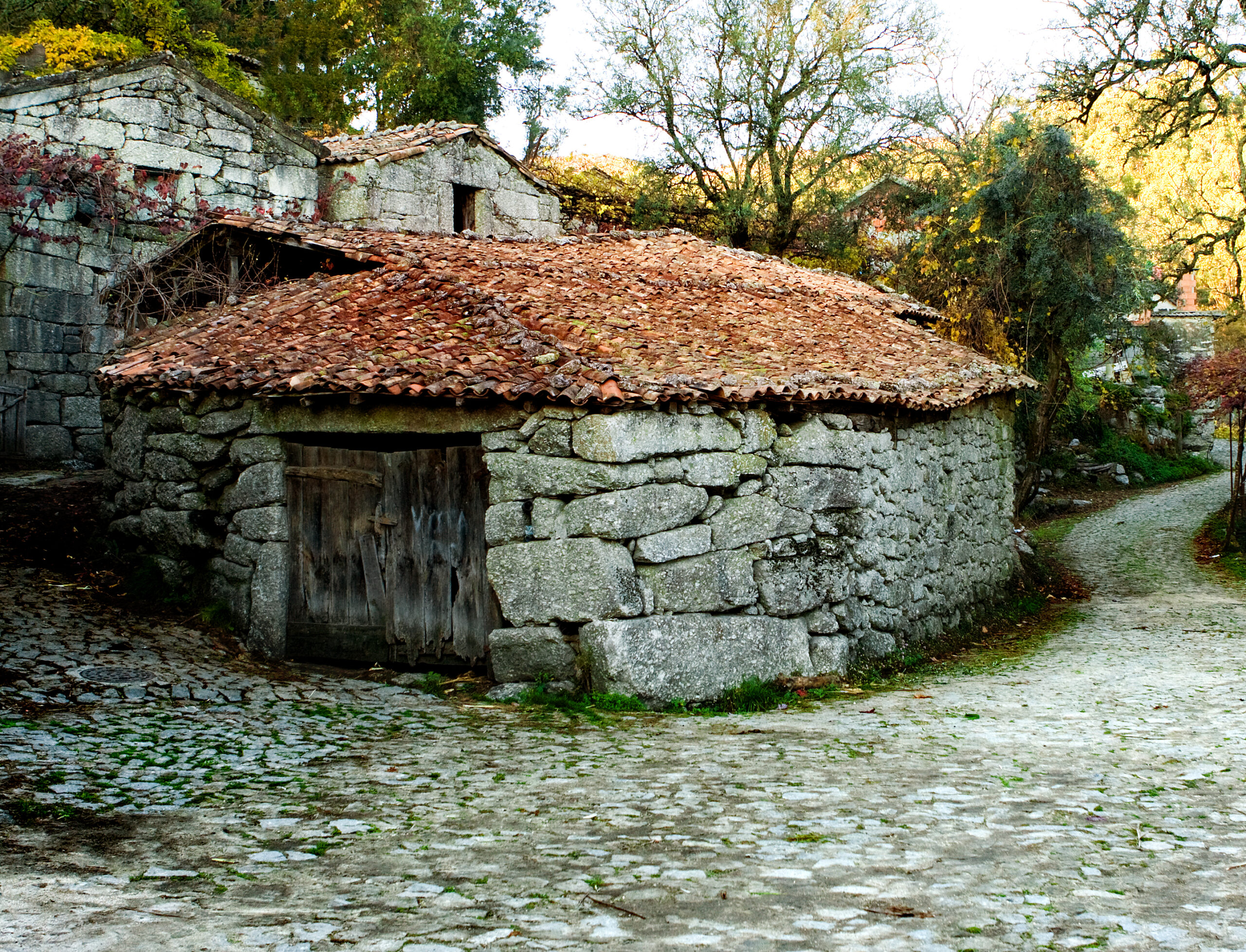
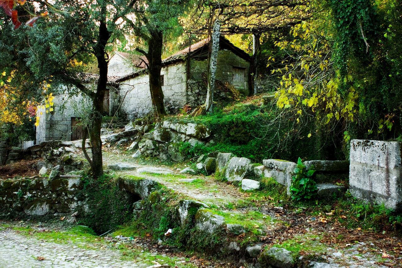
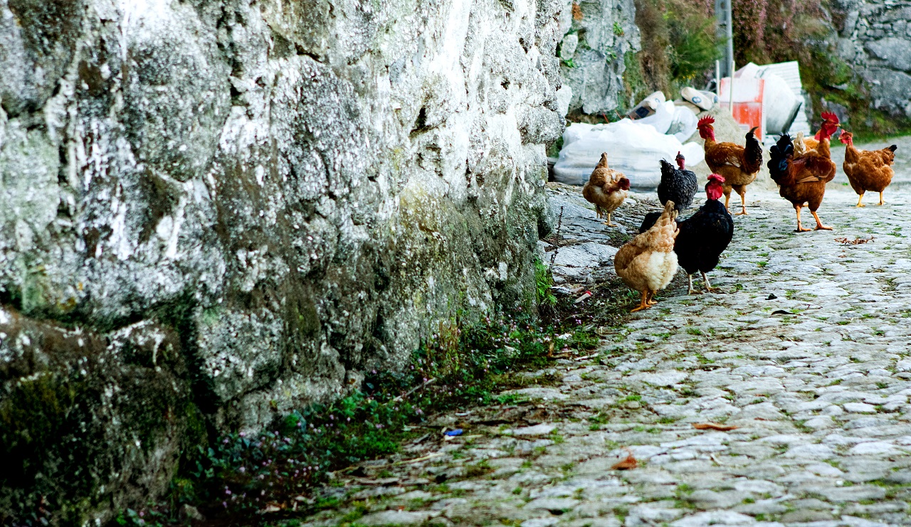
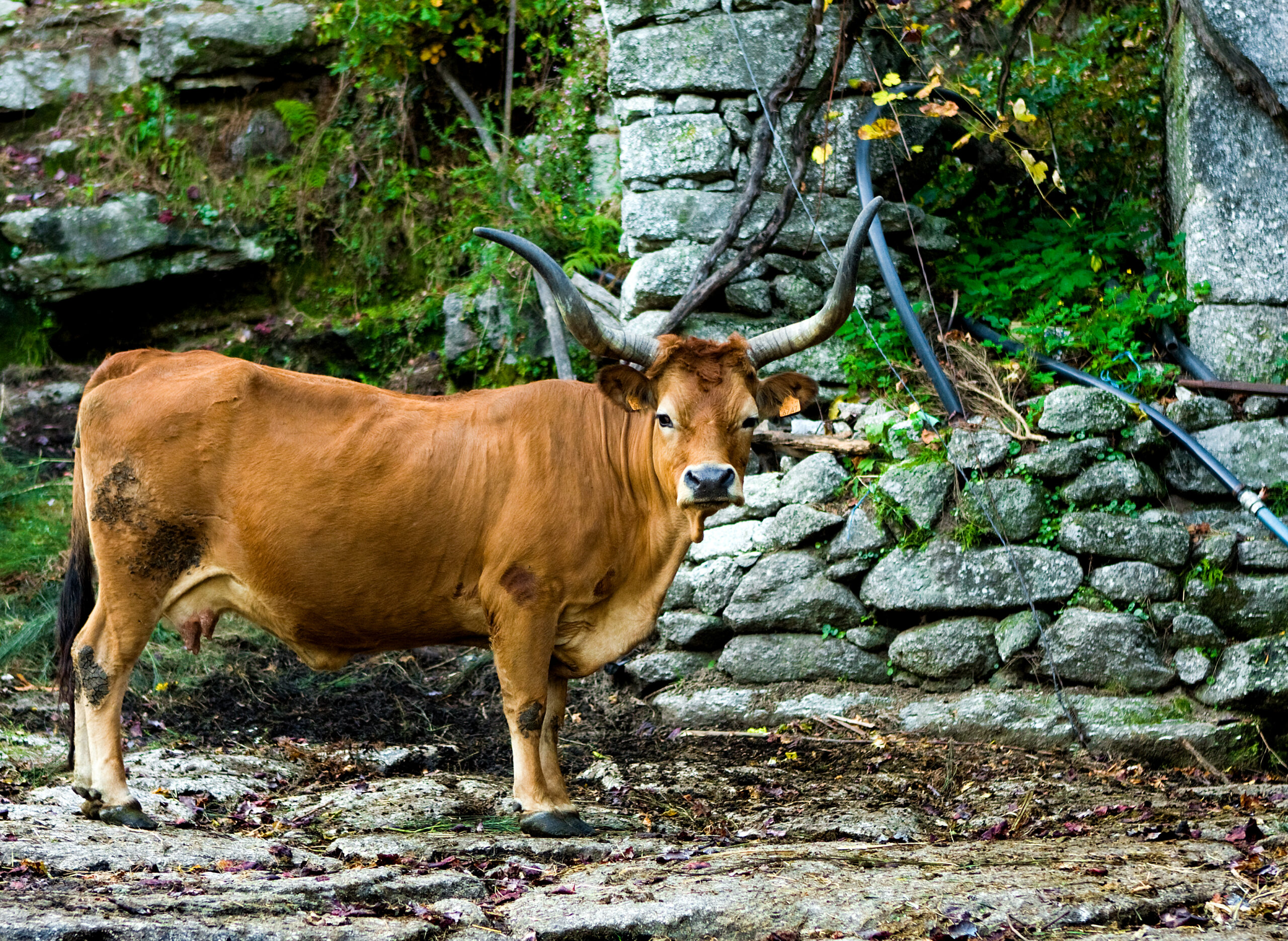
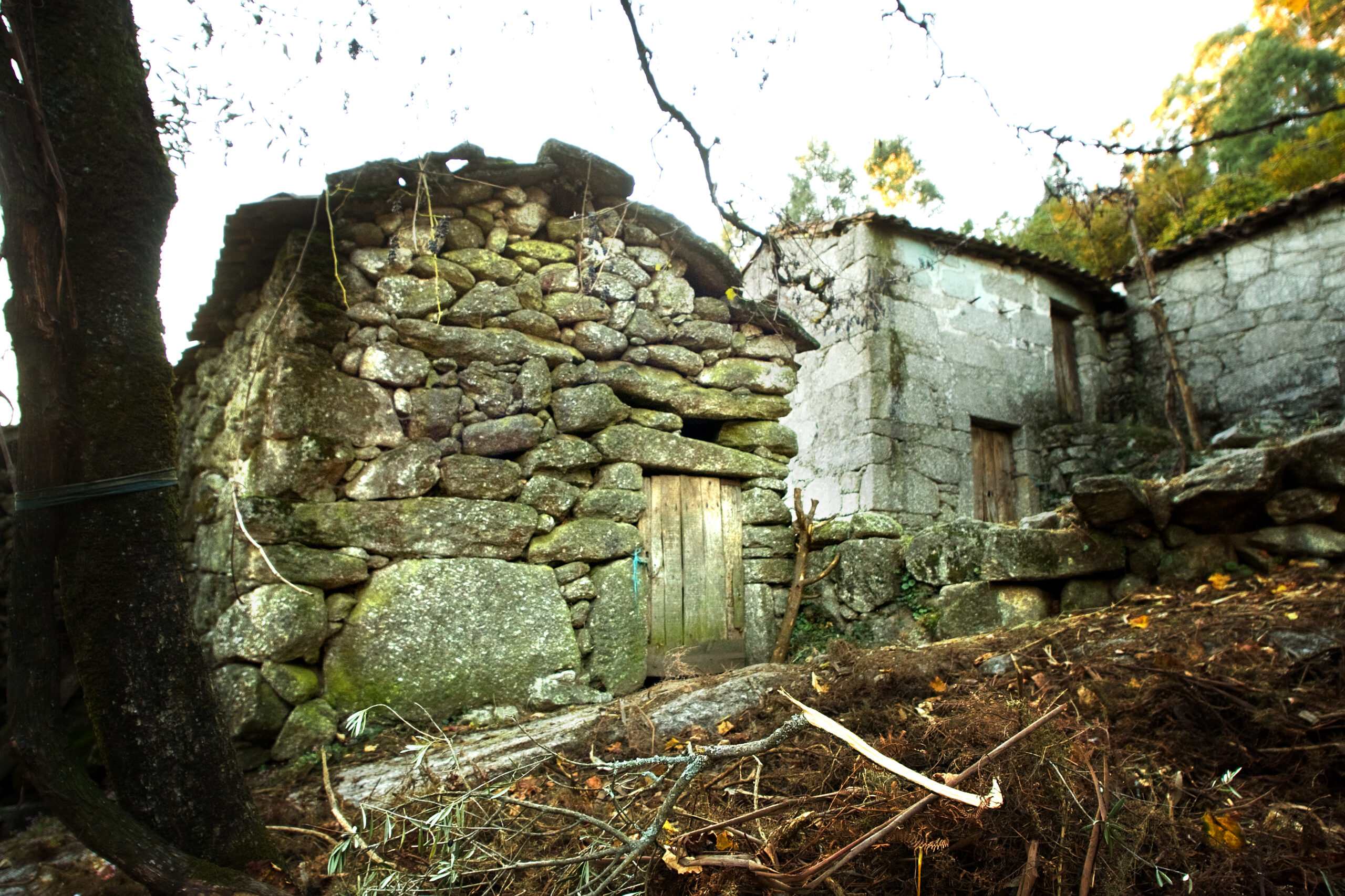
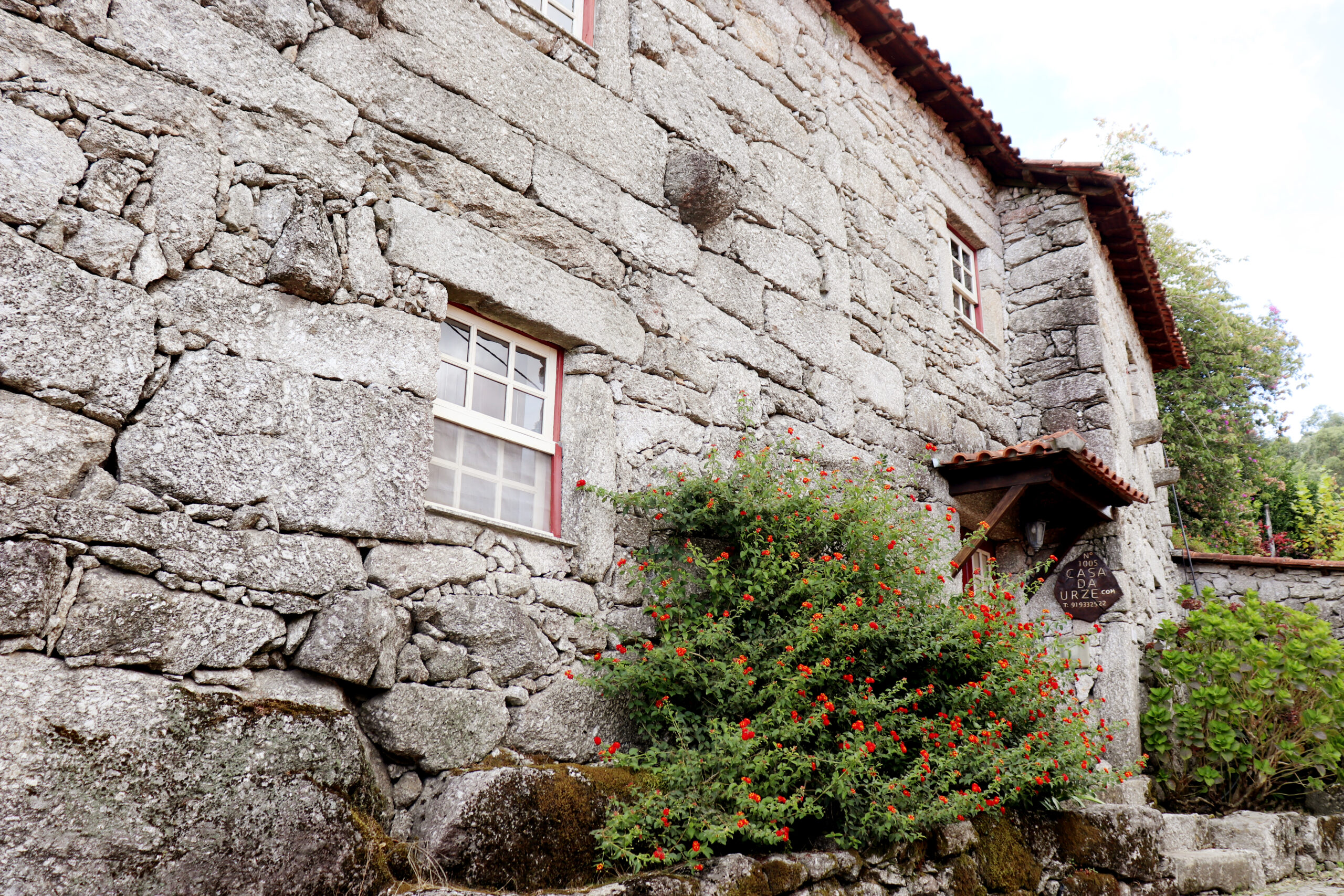
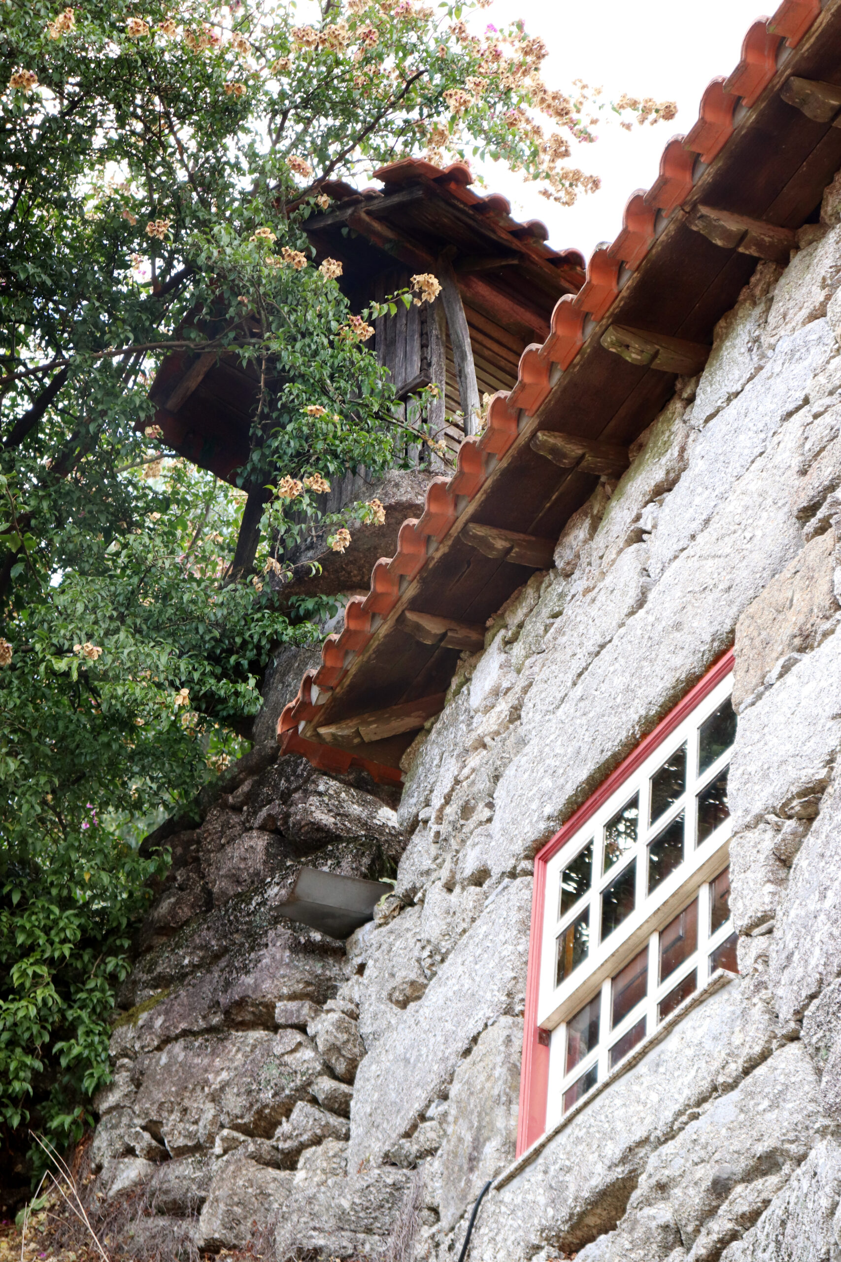
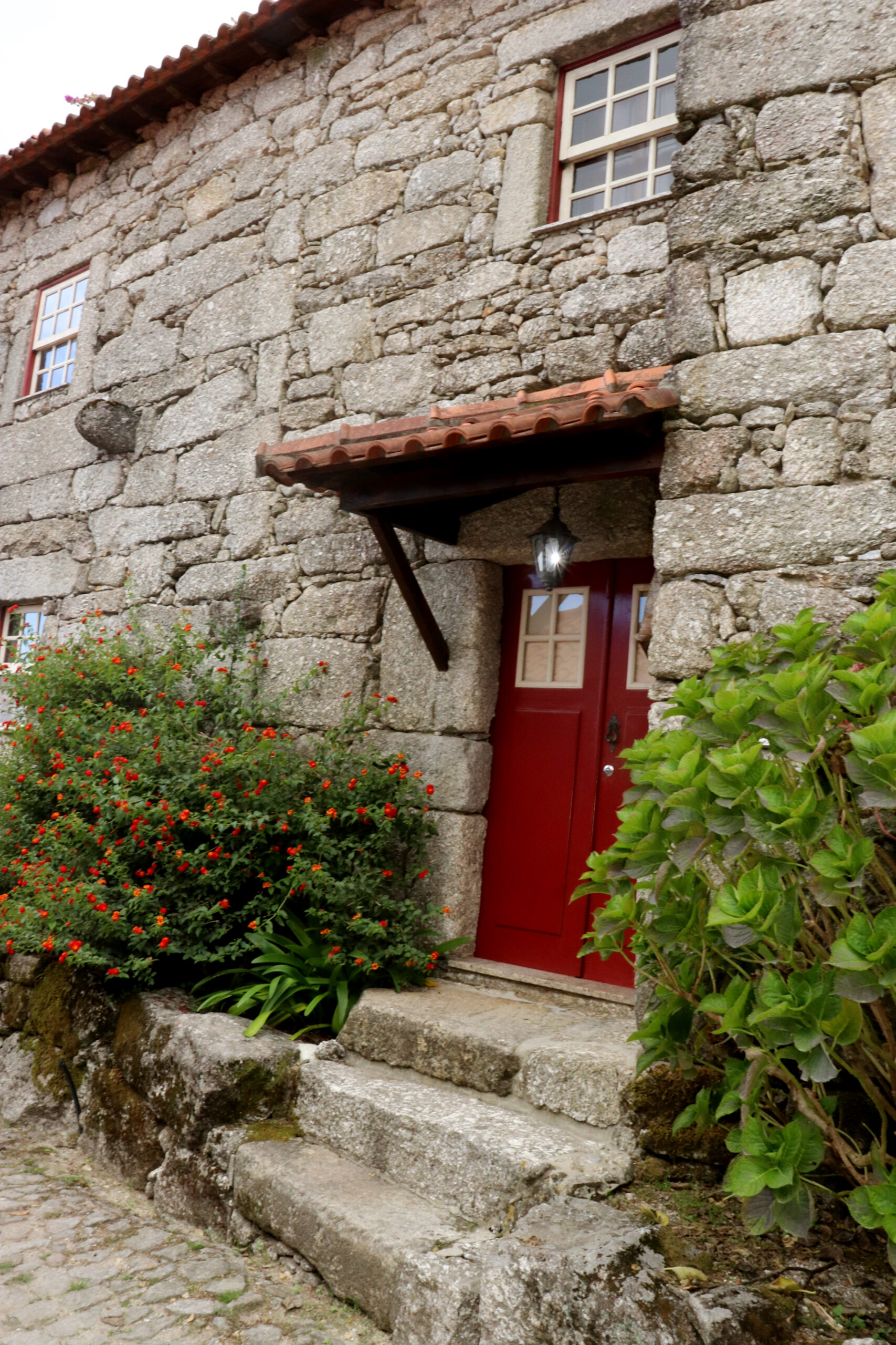
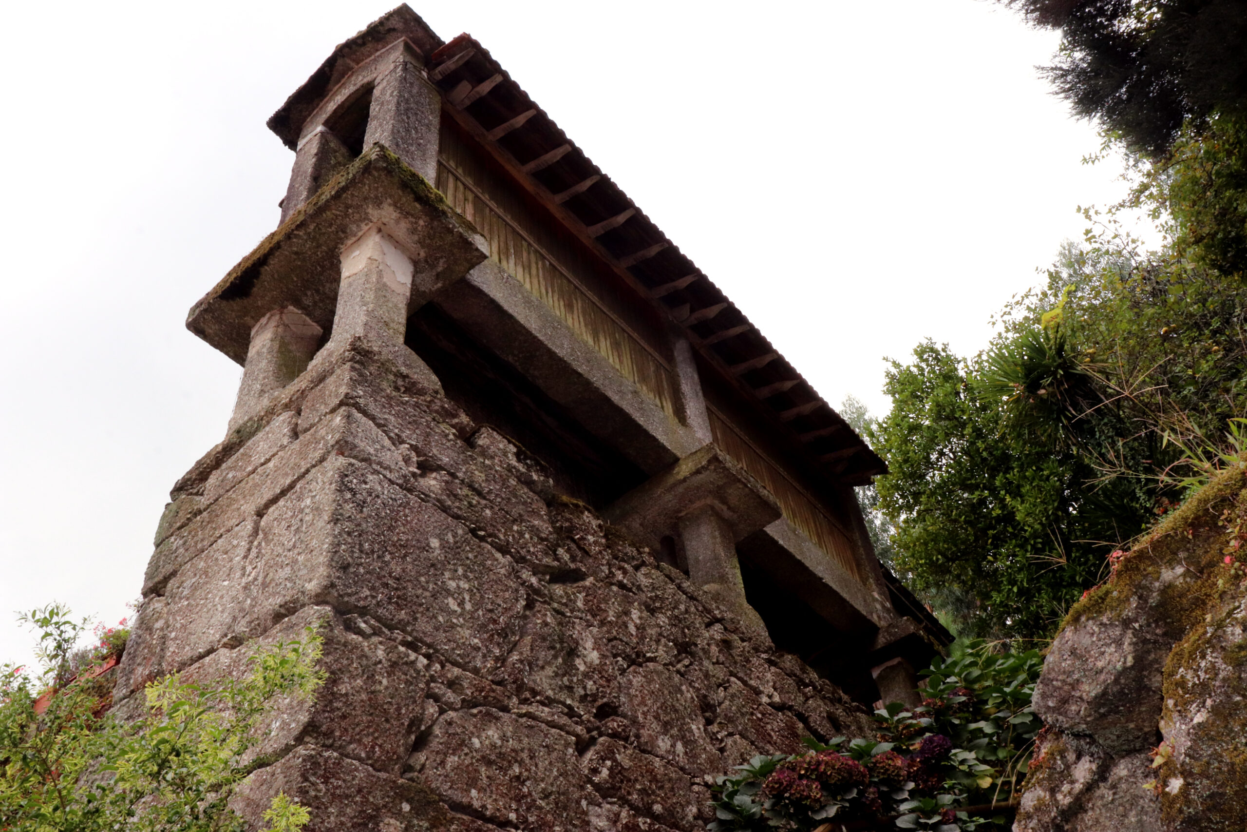
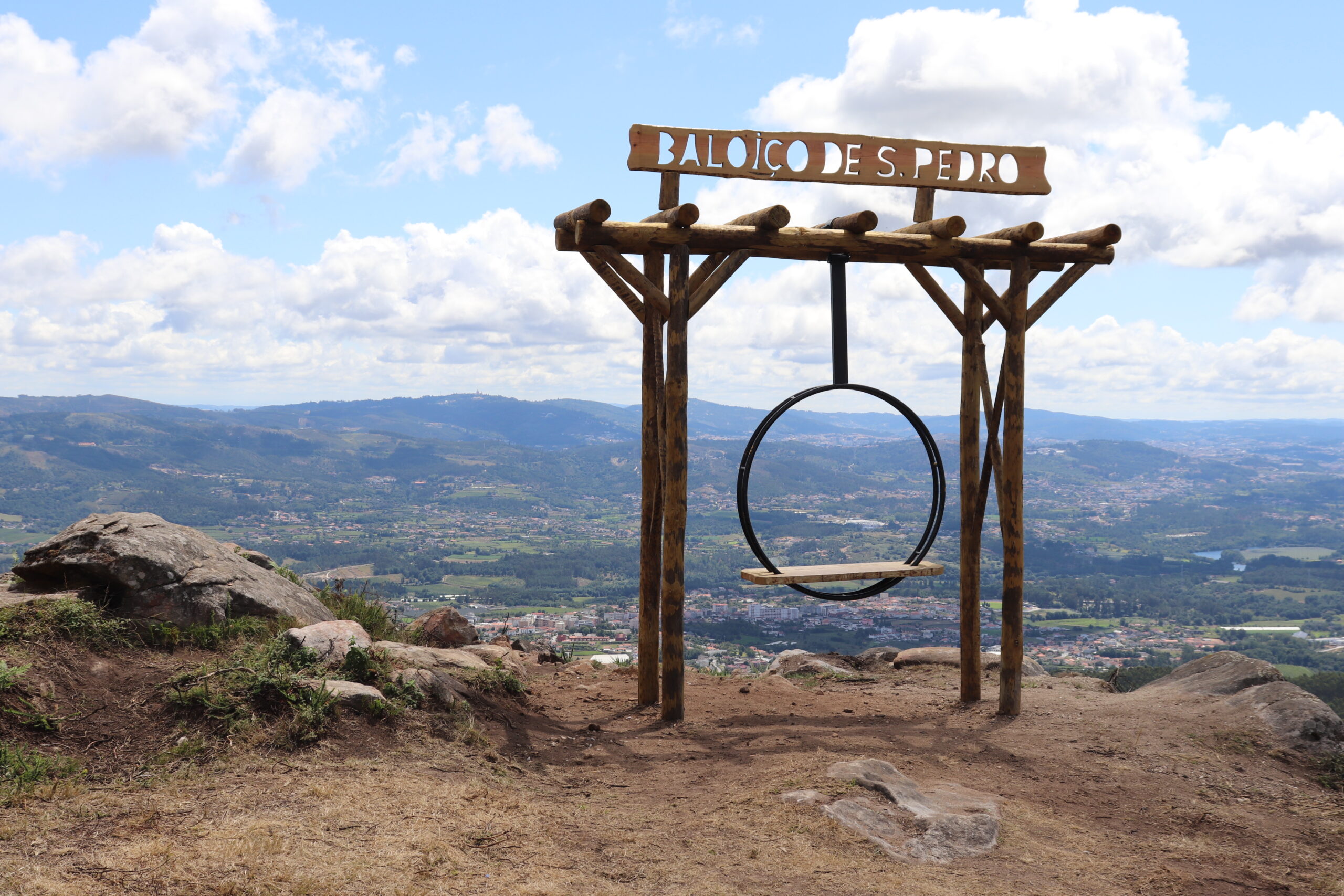
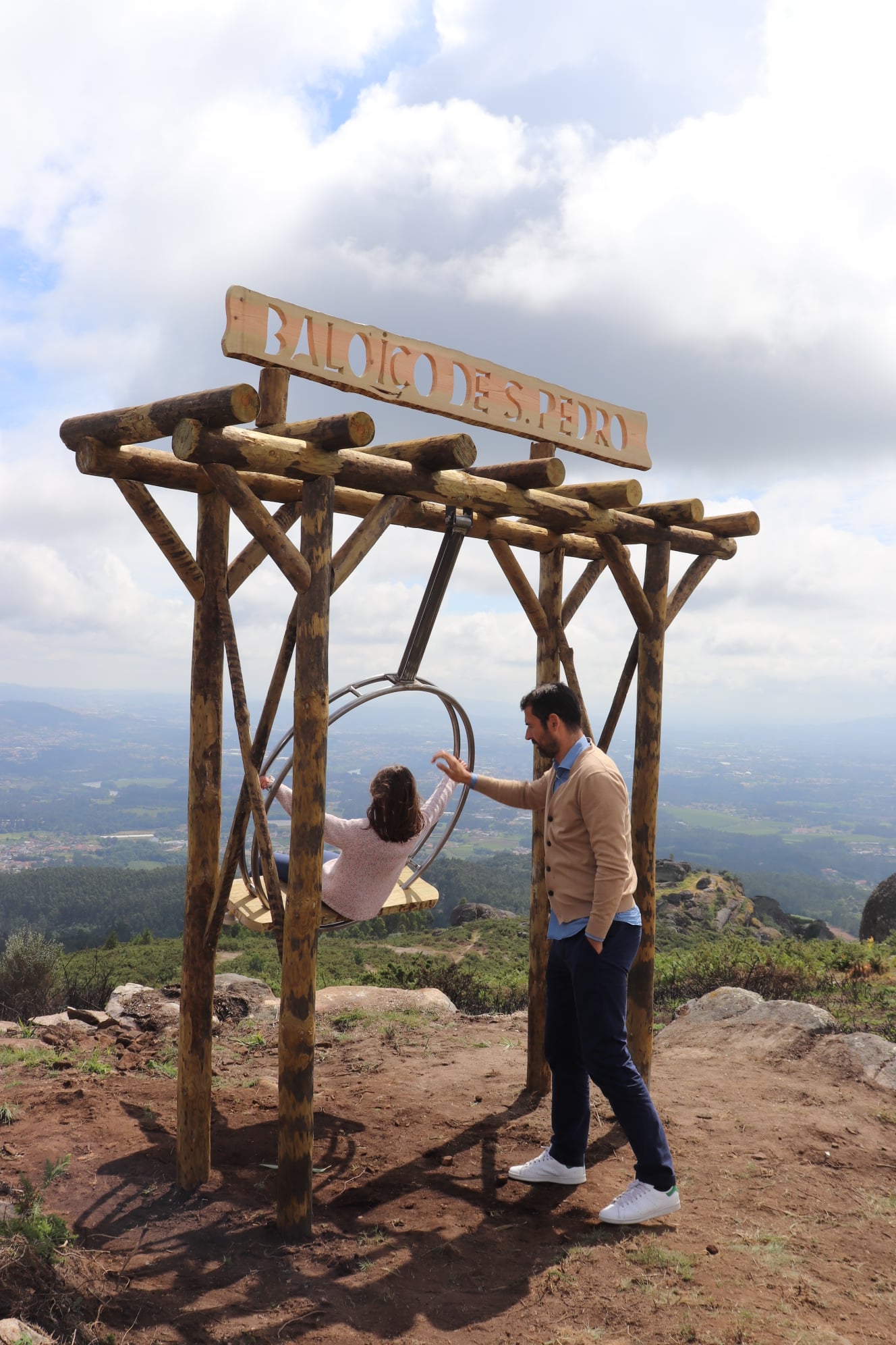
The village is nestled on the slopes of the Santa Isabel do Monte and Monte da Abadia mountains, enjoying unique landscapes. In the historic center of the village, there is a group of rustic houses built in granite stones, as well as some granaries and mills so characteristic of Minho. Some houses have been renovated and adapted for rural tourism. The narrow streets give access to others, made of dirt, which sometimes take us along surprising trails, sometimes to unexpected encounters with herds or, for the more adventurous, even to the aerodynamic swing of Urjal.
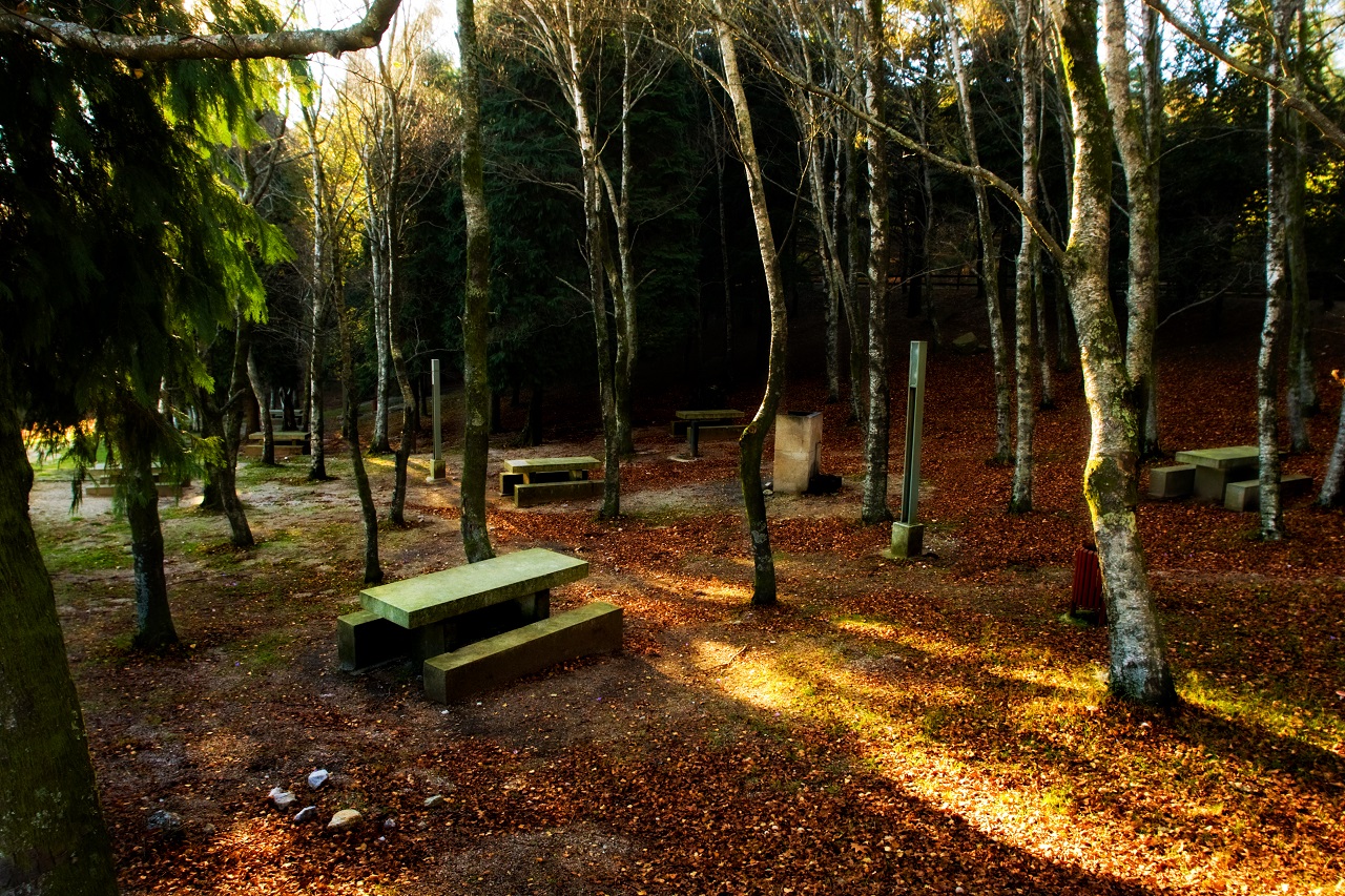
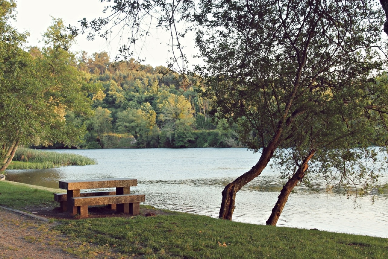
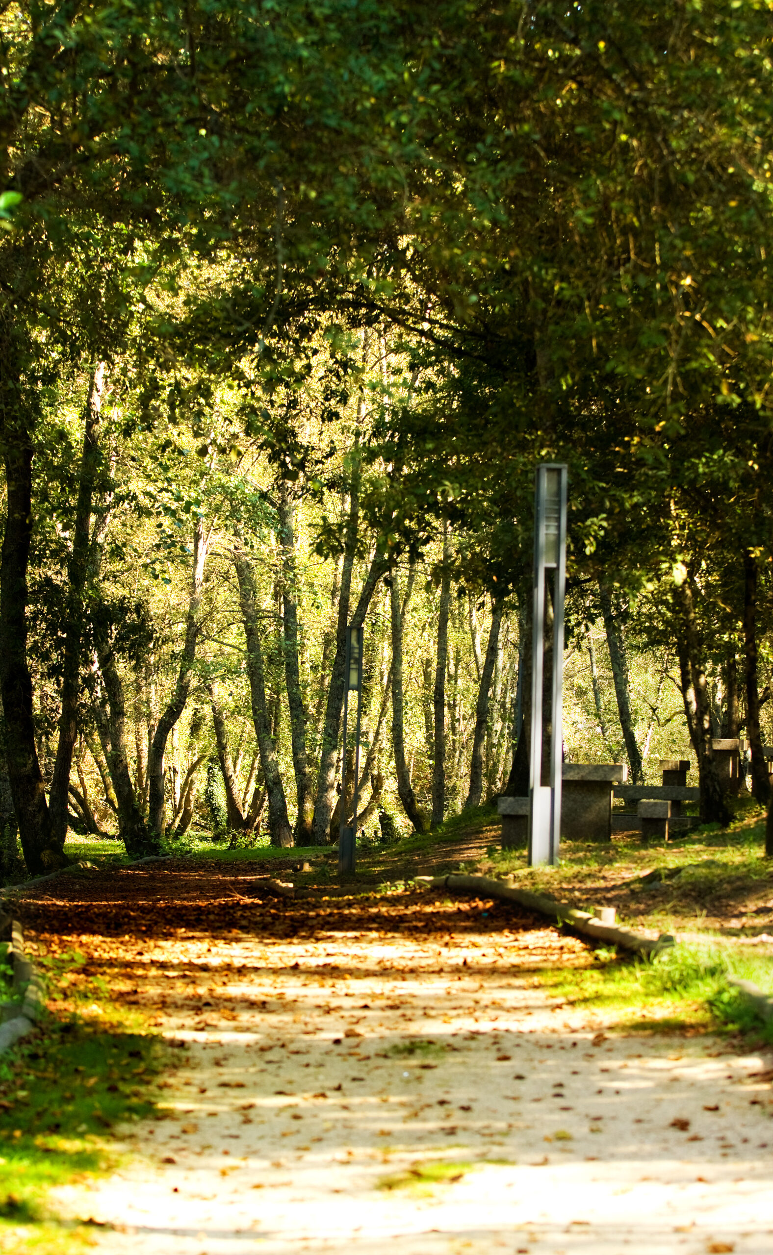
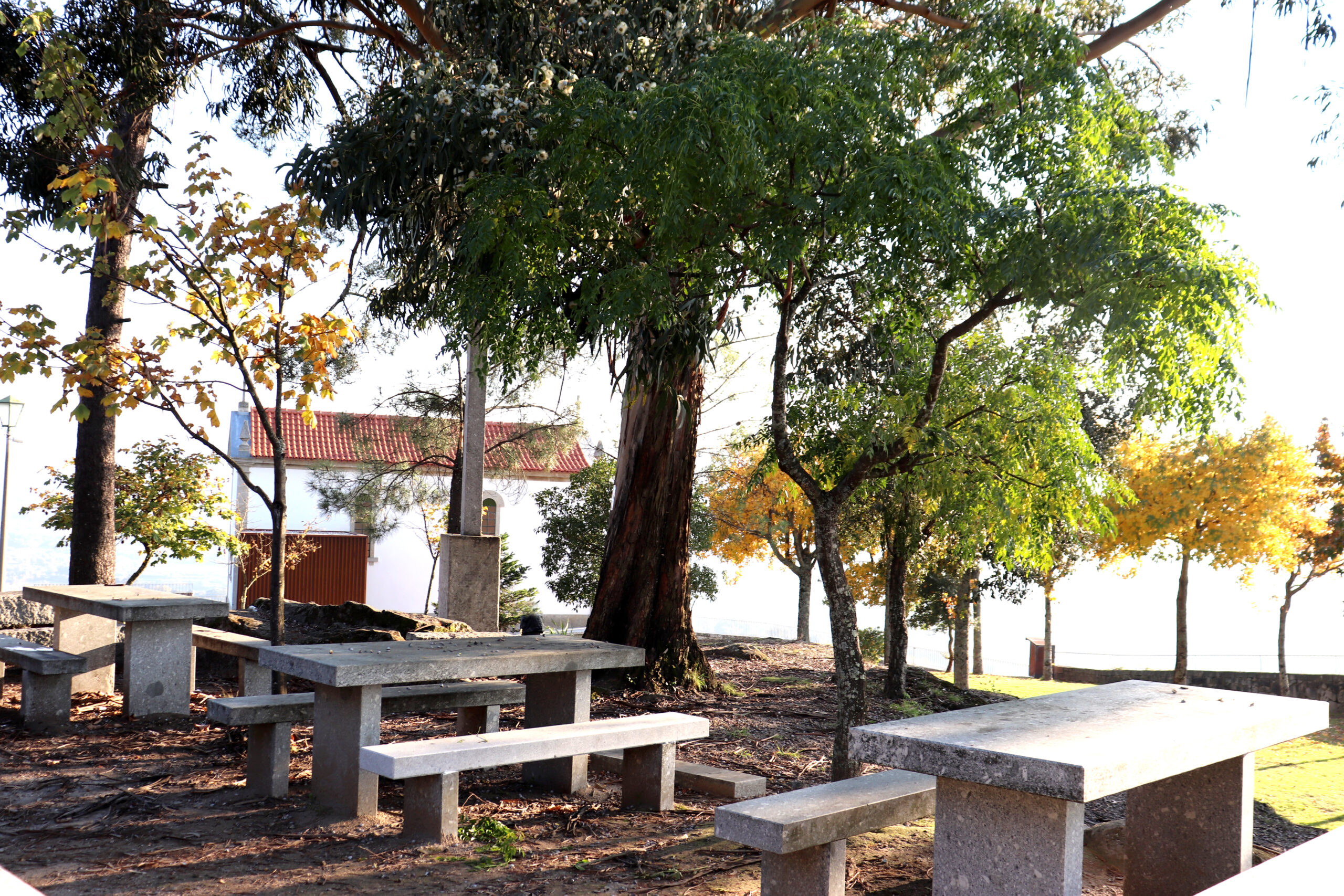
A stop at the “Quatro Caminhos” Picnic Park in Bouro Santa Marta invites you to have a picnic with your family or friends, as well as enjoy the landscape that can be seen on the horizon.
From some of the highest points in Amares, we can enjoy the landscape that looks beautiful. The Quatro Caminhos Picnic Park has good conditions to provide pleasant moments on a picnic, with family or friends. This park is located in a huge forested area that divides the Municipality of Amares from the Municipality of Terras de Bouro.
In the months when the heat is intense, this place is ideal for those looking for a meal in harmony with nature, with some support infrastructure for this.